Bush Explorers Encyclopaedia
Name:
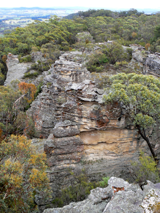
Ben Bullen Range *
Description:
Extends from the Great Dividing Range, 2.6km south west of Gardiners Gap. It trends generally north west for about 5km and finishes about 1km south east of Kirbys Hill. It was first shown on the Survey Plan 58.14996, dated 5th October 1853.
Maps:
- Cullen Bullen
Grid Reference:
- 268 103 to 225 136
Location:
Ben Bullen State Forest
Status:
Threatened
Related Names:
Read More In:
Walks:
- GOS1.16: Rowans Hole and more
- GOS5.10: Tyldesley Grikes
- GOS5.11: Cullen Bullen Cemetery to Wolgan Gap
- GOS5.15: Arwens Pathway
- GOS5.16: Four Level Cave
- GOS5.17: Signature Cave
- GOS5.19: Neubecks Creek and Alois Creek
Photos: