Bush Explorers Encyclopaedia
Name:
Capertee Creek *
Description:
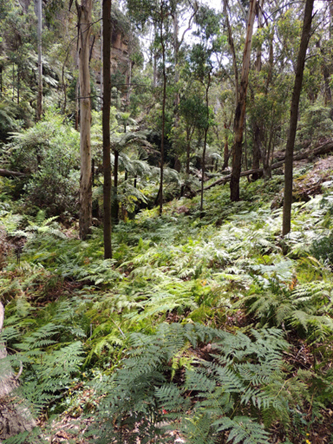
Is a non perennial stream rising east of Mount Dawson. It flows generally south east and north east for about 6km into the Wolgan River at Newnes. Capertee Creek is shown as Capertee Gully on the map, Parish of Gindantherie,1892.
Maps:
- Ben Bullen
Grid Reference:
- 384 242 headwaters
- 424 252 junction
Location:
Wollemi National Park
Status:
Protected
Related Names:
Read More In:
Walks:
- GOS2.10: The Pipeline Track
- GOS2.22: The cliffs and ravines of Western Koopartoo
- GOS2.23: Crossing the Koopartoo Mesa
- GOS2.27: Mount Dawson via Capertee Creek
- GOS3.04: Wolgan Pillars
Photos: