Bush Explorers Encyclopaedia
Name:
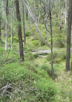
Winding Pinch Creek *
Description:
Is a non perennial creek rising on the southern side of Glen Davis Road 4km south east of Mount Airly. It flows generally south east and south, south west for about 4km into Airly Creek. This was either a name relating to the mining era (winding up a bucket of ore), or it may be a descriptive name given to a narrow pinch of land (ridge line) which was needed to access this isolated 40ac parcel of land applied for by Murray Davidson on the 20th February 1879. Ref: Survey Plan 1674.1496. Shown on the map Parish of Coco, County of Roxburgh, 1883.
Maps:
- Ben Bullen
Grid Reference:
- 247 298 headwaters
- 251 273 junction
Location:
Gardens of Stone National Park
Status:
Protected
Related Names:
Walks:
- GOS1.04: Airly Creek and Winding Pinch Creek
Photos: