Camp Site Details
Expedition: Wollemi North South Traverse
Date:
Map: Rock Hill
GR: 56H 2 53 960E 63 13 043N (WGS84)
Latitude: -33.2937356
Longitude: 150.3578141
Reached camp at 5:14pm
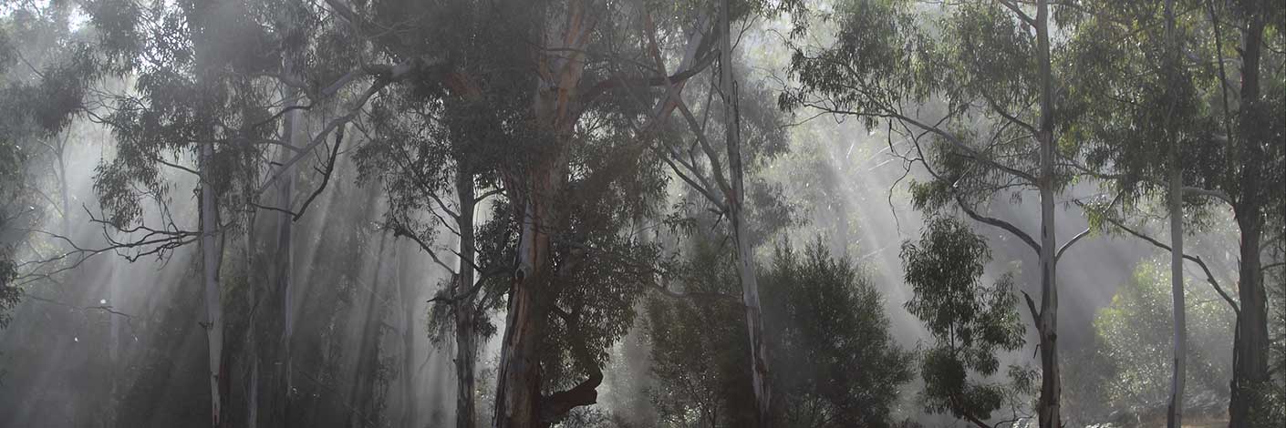
Camped on a ridge running off Mt Cameron between Nayook Creek and Annie Rowan Creek, about 1.4k SE of the planned camp site.
