Bush Explorers Encyclopaedia
Name:
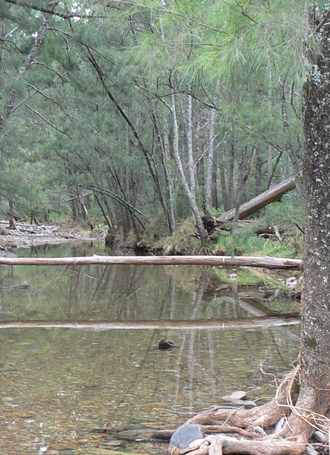
Airly Creek *
Description:
Is a non perennial stream rising 4.8km north east of Capertee. It flows generally south east for about 12km into Coco Creek. Airly Creek is shown on the map Parish of Bandamora, 1882.
Maps:
- Upper Turon
- Glen Alice and Ben Bullen
Grid Reference:
- headwaters 202 330
- junction 266 266.
Location:
Gardens of Stone National Park
Status:
Protected
Related Names:
Read More In:
Walks:
- GOS1.03: South West end of Airly
- GOS1.04: Airly Creek and Winding Pinch Creek
- GOS1.15: Murdocks Trail to Baal Bone Point via Coco Creek
Photos: