Bush Explorers Encyclopaedia
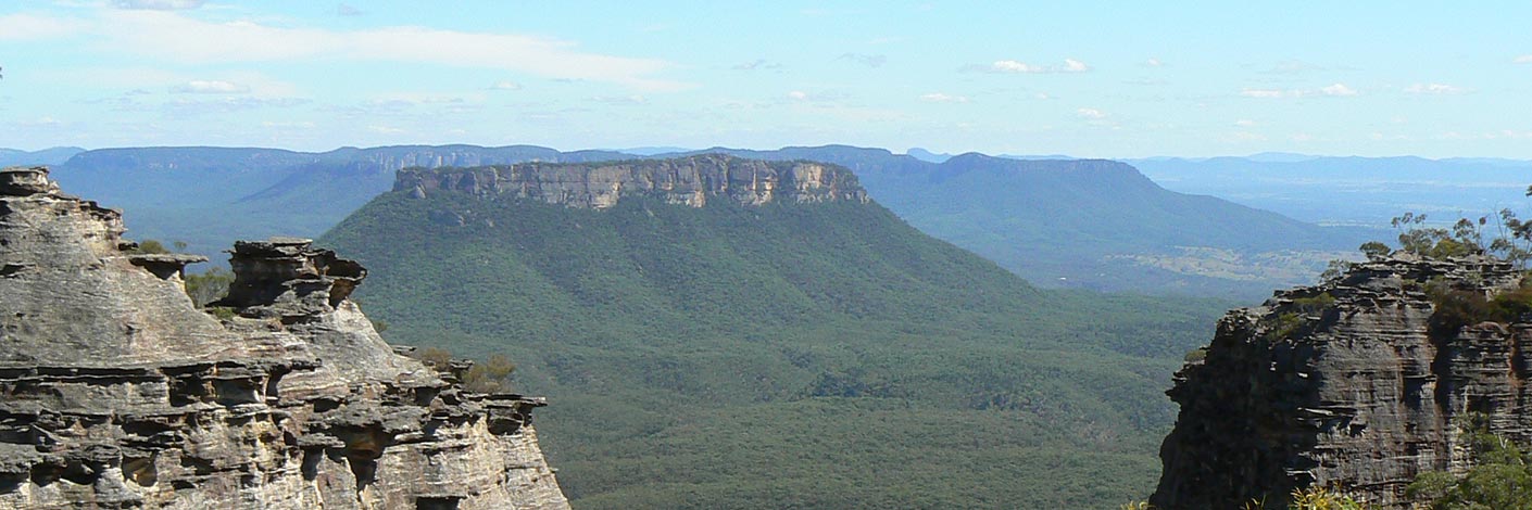
Is located within Birds Rock Flora Reserve. Having its headwaters off the eastern side of Birds Rock Trig Station, it flows generally east for 4.5km into CarneCreek. James (Jim) Lancelot Bird (1895-1978) and his brother Richard Edward (Bert) Bertrum Bird (1891-1961) during the 1920s used horse teams to log the area on top of Newnes Plateau. Jim also worked for the surveyor Lieutenant Colonel Clews when Birds Rock Trig Station was constructed in 1930 by the Royal Australian Survey Corps. Ref: Joe Bird (son of Jim) oral history to Brian Fox,15th June 2009. Lands Department Bathurst Trig Summary Cards. Survey Plan 2811 and 2812.1507 records James Lancelot Bird having a special lease of 339ac (137ha) between the years 1934 and 1961 within the Wolgan Valley.
- Cullen Bullen
- 390 086 headwaters
- 421 091 junction
- GOS6.25: Sinusoidal Ravine and cliffs above Carne Creek
- GOS6.26: Birds Rock Creek

