Bush Explorers Encyclopaedia
Name:
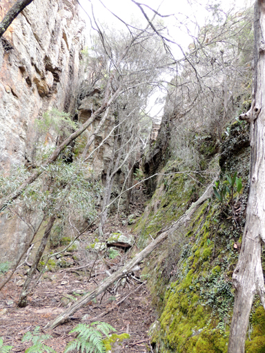
Blue Rock Gap *
Description:
Is a saddle dividing the watersheds of Crown Creek on the north west and Barton Creek on the south east. Located between Mount Davidson and Hughes Defile. GNB records, 27th August 1970 suggests that name is believed to depict the colour of the rock obtainable from Crown Creek. The name is recorded as Blue Cap Rock on the 2nd, 3rd and 4th editions of Parish of Goollooinboin maps, 1903-1930.
Maps:
- Ben Bullen
Grid Reference:
- 320 205
Location:
Status:
Related Names:
Walks:
- GOS6.10: Sunnyside Canyon and Ravines
- GOS6.14: Sunnyside Point and Wolgan Pinnacle
Photos: