Bush Explorers Encyclopaedia
Name:
Hut Trail
Description:
Extends from Glen Davis Road, 4.5km from Capertee, and follows a ridge line for 3km in a south east direction, ending above Airly Creek. A hut used to exist about 100m south of the junction with Glen Davis Road. A few shards of pottery, glass and rusting tin are all that remains of this hut.
Maps:
- Ben Bullen
Grid Reference:
- 214 306 to 230 281
Location:
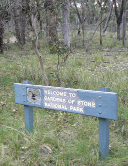
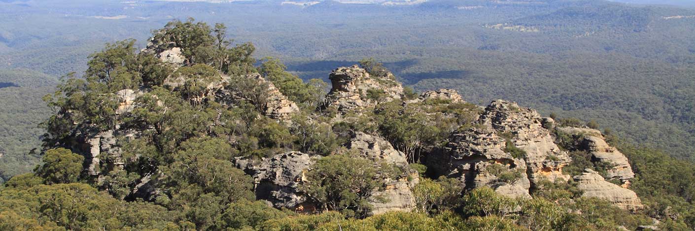
Gardens of Stone National Park
Status:
Protected
Related Names:
Read More In:
Walks:
- GOS1.04: Airly Creek and Winding Pinch Creek
Photos: