Bush Explorers Encyclopaedia
Name:
Kangaroo Creek *
Description:
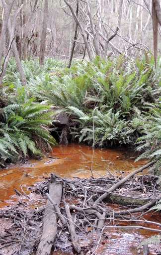
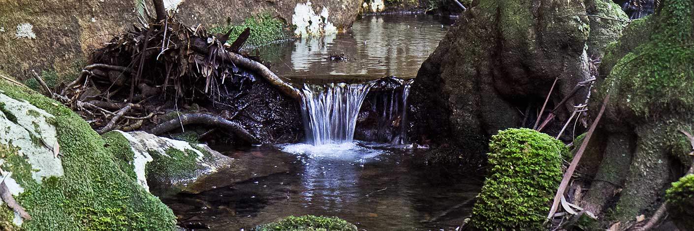
Is a watercourse rising about 6.5km east of the village of Lidsdale. It flows for about 9km generally north and west into Long Swamp, which is the headwaters of the Coxs River. Name recorded on the Survey Plan C210.1507 dated 11 September 1863.
Maps:
- Lithgow and Cullen Bullen
Grid Reference:
- 341 027 headwaters
- 295 064 junction
Location:
Newnes State Forest headwaters
Status:
Threatened
Related Names:
Read More In:
Walks:
- GOS5.20: Alois Spur
- GOS5.21: Long Swamp
- GOS5.24: Lambs and Kangaroo Creeks ridge line
- GOS5.25: Aboriginal art caves
- GOS5.26: Lambs Creek and Kangaroo Creek
Photos: