Bush Explorers Encyclopaedia
Name:
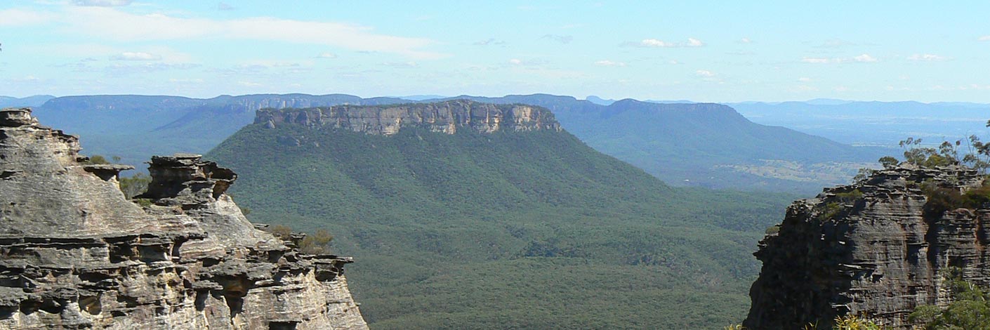
Koopartoo Mesa
Description:
Is roughly six square kilometres of high ground, having Capertee Creek on the north west side and the Wolgan River on the east and southern side.
Maps:
- Ben Bullen
Grid Reference:
- 415 230 central point
Location:
Status:
Related Names:
Read More In:
Walks:
- GOS2.23: Crossing the Koopartoo Mesa
Photos: