Bush Explorers Encyclopaedia
Name:
Mount Clarence *
Description:
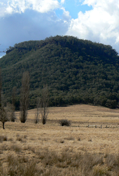
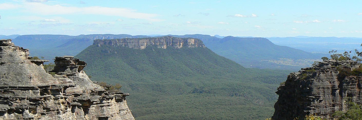
Also see Clarence. Located about 5km east, south east of Lithgow. It has Blackmans Creek on the west and Reedy Creek on the east. Clarence Trig Station 1174m is on its summit.
Maps:
- Lithgow
Grid Reference:
- 405 900
Location:
Status:
Related Names:
Read More In:
Walks:
- GOS7.18: Clarence Arch
- GOS7.20: Doctors Gap and Ida Falls circuit
Photos: