Bush Explorers Encyclopaedia
Name:
Newnes Plateau *
Description:
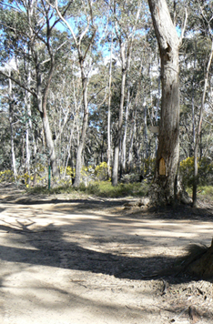
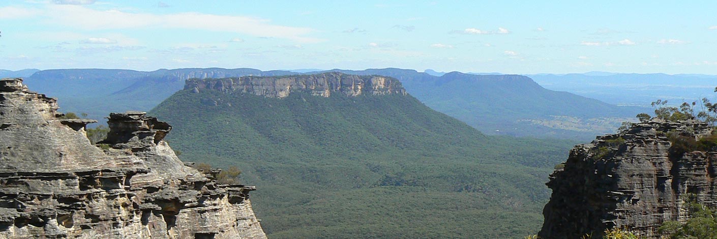
The name is misleading as it refers to the area south of Newnes and extending back to Clarence that also contains the Newnes State Forest. A central point of the plateau is Bungleboori, (what was a picnic ground) and an important road junction. The Newnes Plateau is approximately 200sq km in area and has a general elevation between 1100 and 1180 metres.
Maps:
- Lithgow and Cullen Bullen
Grid Reference:
Location:
Newnes State Forest
Status:
Threatened
Related Names:
Read More In:
Walks:
- GOS2.14: The Cliffs of Mars
- GOS3.03: Donkey Mountain 3
- GOS3.19: The Rain Cave and Joseph Creek
- GOS4.01.B: Wollangambe tributaries and Dargans Arch
- GOS4.12: Bungleboori Creek and Clwydd Pass
- GOS5.13: Wolgan Gap cliff line
- GOS5.24: Lambs and Kangaroo Creeks ridge line
- GOS5.25: Aboriginal art caves
- GOS6.02: Last Crusade Point and Holy Grail Ravine
- GOS6.03: Indiana Gorge and Indiana Slot
- GOS6.05: Wolgan Falls
- GOS6.06: Cliff Lines above the Wolgan River
- GOS6.11: Flat Bottom Creek
- GOS6.14: Sunnyside Point and Wolgan Pinnacle
- GOS6.16: Endorphin Slot and Gully
- GOS6.17: Infinity Caves
- GOS6.18: Adrenalin Gorges
- GOS6.26: Birds Rock Creek
- GOS6.27: Carne Creek and Glory Box
- GOS6.30: Convolution Creek and Tagine Point
- GOS6.31: Gang Gang Creek and Canyon
- GOS7.01: Mount Walker and Coxs River
- GOS7.06: Clerestory Spurs No. 4 to No. 7
- GOS7.08: Pagodas south of Angus Place Trail
- GOS7.10: Upper Wolgan River
- GOS7.11: Wolgan River bends above Wolgan Falls
- GOS7.12: Lost City and more
- GOS7.15: Monkey Creek
- GOS7.17: Reedy Creek
- GOS7.20: Doctors Gap and Ida Falls circuit
- GOS7.21: State Mine Gully and Hassans Walls
Photos: