Bush Explorers Encyclopaedia
Name:
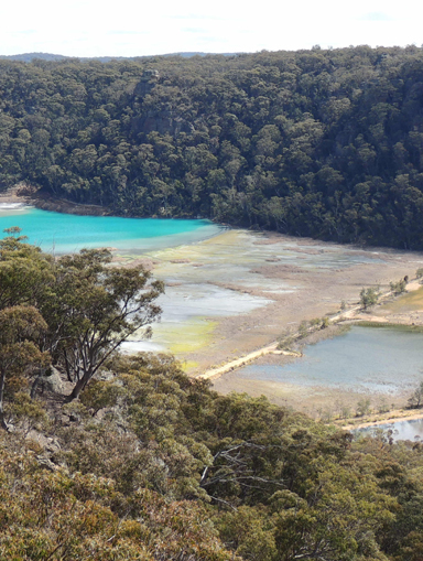
Sawyers Swamp *
Description:
Lies at the headwaters of an ash settlement dam at Kerosene Vale, 3.5km west of Lidsdale. The Sydney Morning Herald, 22 August 1854, p. 5, records, "County Lots for sale, 34 acres at Sawyers Swamp, at the upset price of one pound per acre."Survey Plan C121-1507, dated 13th October 1856, records the name Sawyers Swamp.
Maps:
- Lithgow
Grid Reference:
- 325 015
Location:
Newnes State Forest
Status:
Threatened
Related Names:
Walks:
- GOS7.01: Mount Walker and Coxs River
- GOS7.02: Marrangaroo Ridge
- GOS7.04: Clerestory Spurs No. 1 and No. 2
- GOS7.05: Clerestory Spurs No. 3 to No. 5
- GOS7.07: Clerestory Spurs No. 8 to No. 12
Photos: