Bush Explorers Encyclopaedia
Name:
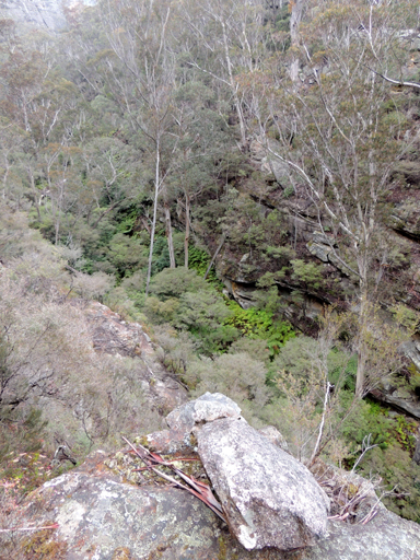
Silkpod Creek
Description:
Has its headwaters on the eastern side of the intersection of Sunnyside Ridge Road and Fire Trail No. 4. This creek flows in a generally eastern direction for 2.7km to its junction with Carne Creek.
Maps:
- Cullen Bullen
Grid Reference:
- 390 079 headwaters
- 410 071 junction
Location:
Newnes State Forest
Status:
Threatened
Related Names:
Read More In:
Walks:
- GOS6.28: Silkpod Point and Silkpod Gorge
Photos: