Bush Explorers Encyclopaedia
Name:
Springvale Creek
Description:
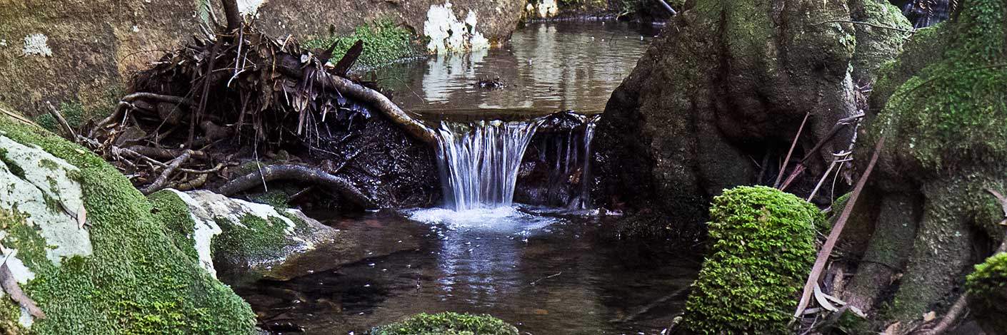
Is a multi stemmed dendritic drainage system spread over 2km, rising on the western side of Marrangaroo Ridge. It flows generally in a north west direction for 4.5km till it joins the Coxs River near Wallerawang Power Station. The name is derived from the locality, Springvale, in which the creek flows.
Maps:
- Lithgow
Grid Reference:
- 329 994 headwaters
- 289 003 junction
Location:
Private land
Status:
Related Names:
Read More In:
Walks:
Photos: