Bush Explorers Encyclopaedia
Name:
The Fort
Description:
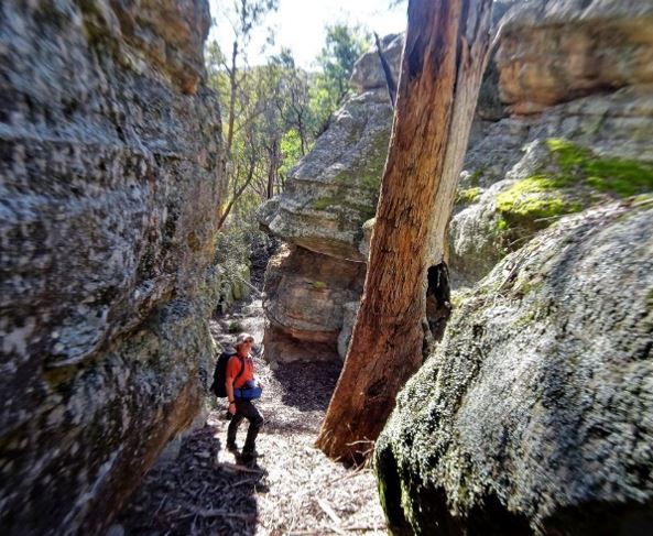
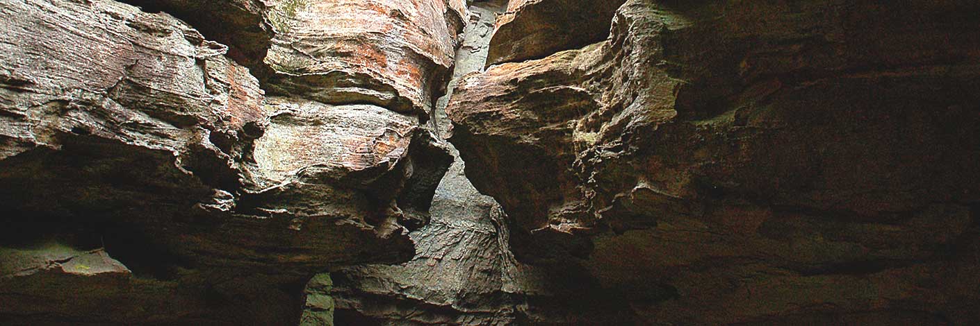
Is an area of natural rock formations located 2 km south west of Mount Airly and 500m above the Glen Davis Road. Named by Yuri Bolotin and Peter Medbury on a bushwalk 14 June 2021. Yuri recorded, "On top of this natural fortress, marked on the topographic map as spot height 935 m, is a paradise of pagodas, slots, ramps, narrow twisting corridors, dark hidden rooms and unexpected vistas".
Maps:
- Glen Alice
Grid Reference:
- 216 317
Location:
Mugii Murum-ban State Conservation Area
Status:
Threatened
Related Names:
Read More In:
Walks:
Photos: