Bush Explorers Encyclopaedia
Name:
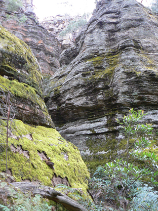
Valley of the Kings
Description:
Is a pagoda lined tributary in the upper reaches of Genowlan Creek. Located 1km north east of Genowlan Trig Station. The western end of this ravine has a 10m drop. Named by Dr Haydn Washington, November 1984. Ref: Correspondence with David Blackwell, 27th April 2010 and Haydn’s map.
Maps:
- Glen Alice
Grid Reference:
- 259 323 to 261 326
Location:
Mugii Murum-ban State Conservation Area
Status:
Threatened
Related Names:
Read More In:
Walks:
- GOS1.22: The Valley of the Kings
Photos: