Bush Explorers Encyclopaedia
Name:
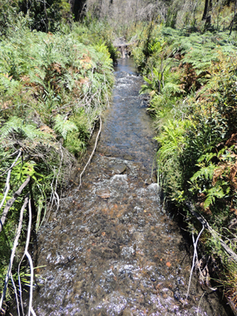
Wollangambe River *
Description:
Is a watercourse approximately 50km long. It rises about 1km south east of Happy Valley Springs and flows generally east then north, north east into the Colo River.
Maps:
- Lithgow
- Wollangambe
- Mountain Lagoon and Colo Heights
Grid Reference:
- 432 955 headwaters
- 749 071 junction
Location:
Blue Mountains National Park
Status:
Protected
Related Names:
Read More In:
Walks:
- GOS4.01.A: Wollangambe tributaries
- GOS4.01.B: Wollangambe tributaries and Dargans Arch
- GOS4.02: Wollangambe River - a sample excursion
- GOS4.03: Goochs Crater
- GOS4.06: Bungleboori Creek and Hill 959
- GOS7.15: Monkey Creek
Photos: