Bush Explorers Encyclopaedia
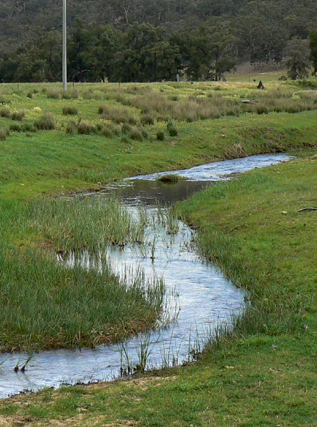
Is a perennial river rising on the Great Dividing Range south of Mount Gangang. It receives its identity at the confluence of Tea Tree and Brymair Creeks. It flows in a meandering course generally south, east and south east for about 92km to its confluence with Wolgan River to form the Colo River. It passes Glen Alice and Glen Davis. Bogee. Capertee River is shown on the map published on 1st September 1833 for The Australian Agriculture Company. Surveyor Frederick Robert D'Arcy surveyed the Capertee River in mid 1831 from below Mount Gundangaroo about 5km west of Glen Davis downstream for about 46km. Ref: Andrews, Alan E J. Major Mitchell's Map,1834 and Macqueen, Andy. Frederick Robert D'Arcy, colonial surveyor explorer and artist, c1809-1875, 2010.
- Glen Alice
- Gospers Mountain and Mount Morgan
- 637 231 junction
- GOS7.11: Wolgan River bends above Wolgan Falls