Bush Explorers Encyclopaedia
Name:
Capertee Valley *
Description:
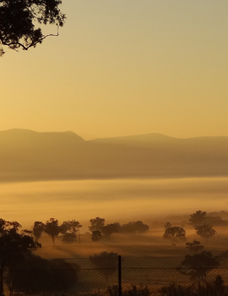
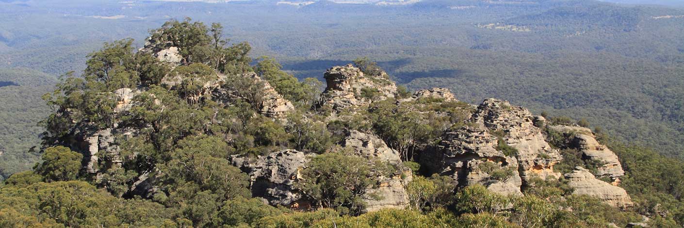
Is nearly 30km across. It is the largest enclosed valley in Australia.
Maps:
- Bogee
- Glen Alice and Ben Bullen
Grid Reference:
Location:
Status:
Related Names:
Read More In:
Walks:
- GOS1.10: The Cliffs South East of Genowlan Mountain
- GOS1.12: Collett Gap and Woolpack Rock
- GOS1.13: Crown Creek and Hughes Defile
- GOS1.14: Rowans Hole West to East
- GOS1.15: Murdocks Trail to Baal Bone Point via Coco Creek
- GOS1.16: Rowans Hole and more
- GOS1.17: Poseidon Area
- GOS1.18: Hades and the Underworld
- GOS1.19: Exploring the Pagoda Maze
- GOS1.21: Blackmans Crown and Platform Rock
- GOS1.22: The Valley of the Kings
- GOS1.23: The Eastern Extension of Mount Genowlan
- GOS1.24: Genowlan Canyon, Mothers Arms and the Dragons Mouth
- GOS1.25: South of Hecates Cauldron
- GOS2.01: Mount Harvey and Mount Dawson Pass
- GOS2.02: Mount Dawson and Gindantherie Pinnacle
- GOS2.04: Mount Canobla
- GOS2.05: Mount Gundangaroo
- GOS2.06: The Wolgan - Capertee Divide
- GOS2.07: Petries Gully Circuit
- GOS2.09: Two of the ridges north of the Newnes Hotel
- GOS2.10: The Pipeline Track
- GOS2.24: Traversing Pantoneys Crown
- GOS2.25: Island Mountain Traverse
- GOS3.02: Donkey Mountain 2
- GOS3.03: Donkey Mountain 3
- GOS3.05: Yerra Yerra Pass, Bubyong Pass and part of Mt Cameron Plateau
- GOS5.01: North and west of Murdocks Creek
- GOS5.02: Gaudis Walls
- GOS5.04: Tara Slot
- GOS5.06: Subsidence fractures, Ben Bullen State Forest
- GOS5.11: Cullen Bullen Cemetery to Wolgan Gap
- GOS6.14: Sunnyside Point and Wolgan Pinnacle
Photos: