Bush Explorers Encyclopaedia
Name:
Lost Ark Point
Description:
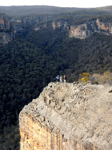
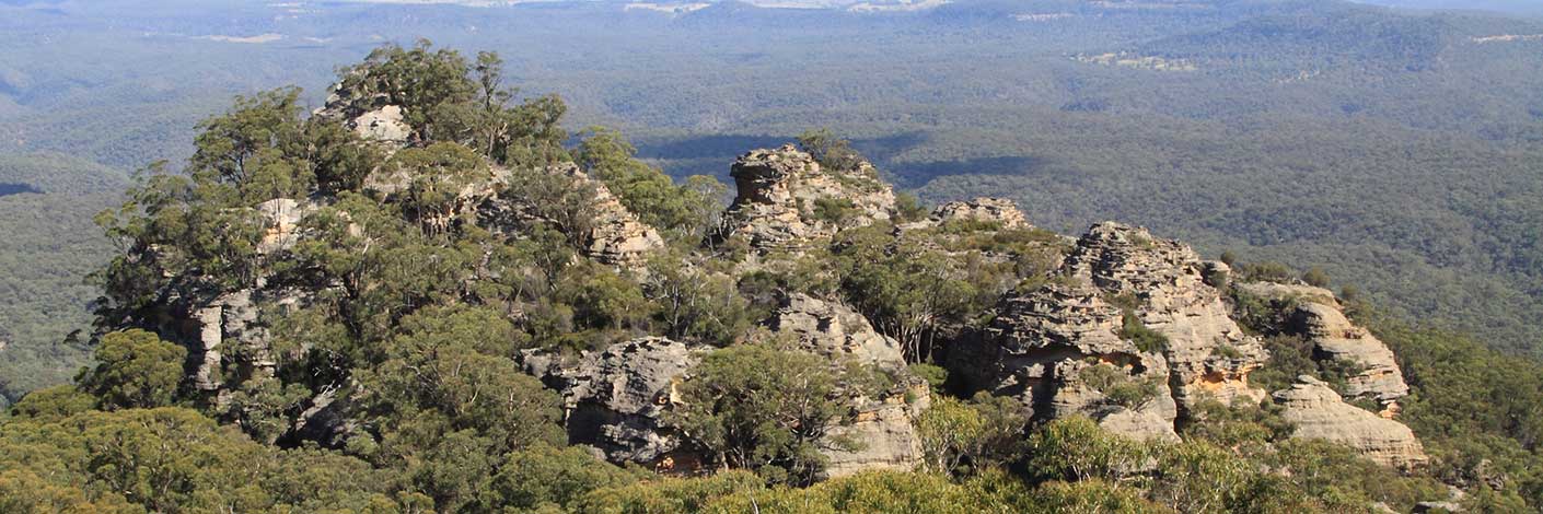
Is the most northerly point of the cliff that juts out over the southern side of the Wolgan River, 1.7km north east of Blackfellows Hand Rock. Named by Yuri Bolotin on a walk, 8th August 2013, in keeping with the named theme, The Temples of Doom, Indiana Gorge, etc., of other features nearby.
Maps:
- Cullen Bullen
Grid Reference:
- 332 101
Location:
Newnes State Forest
Status:
Threatened
Related Names:
Read More In:
Walks:
- GOS6.03: Indiana Gorge and Indiana Slot
- GOS6.06: Cliff Lines above the Wolgan River
Photos: