Bush Explorers Encyclopaedia
Name:
Lost Ark Ravine
Description:
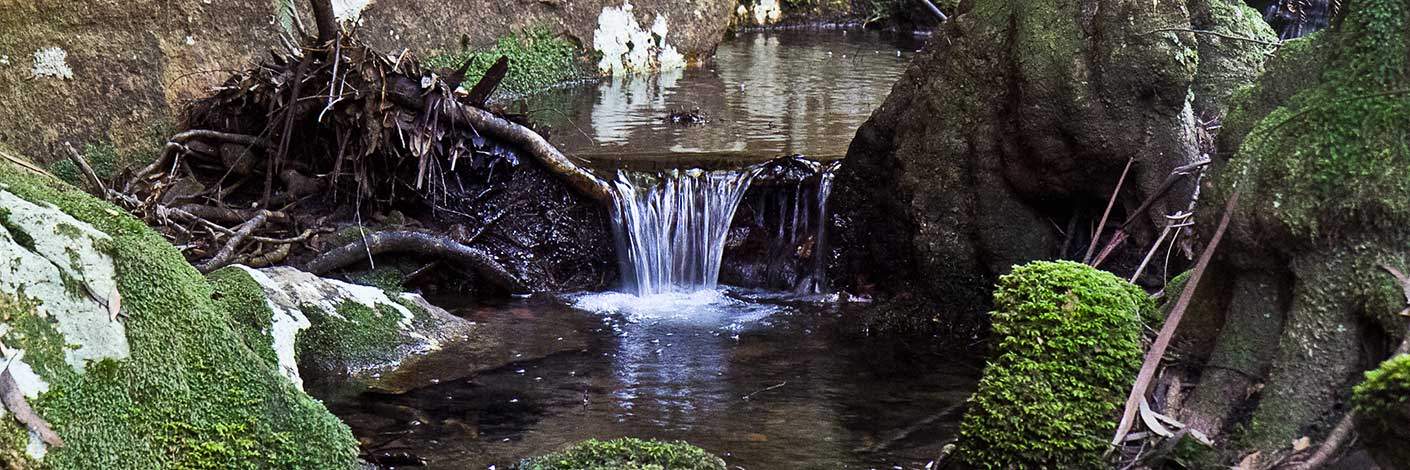
Commences as a small stream and breaches the cliffs above the Wolgan River. This name was coined by Michael Keats on a Bush Club walk, 19th August 2013 after the northern most point of land named as Lost Ark Point. Access via Blackfellows Hand Trail, 2.8km from the Wolgan Road.
Maps:
- Cullen Bullen
Grid Reference:
- 334 089 to 335 098
Location:
Newnes State Forest
Status:
Threatened
Related Names:
Read More In:
Walks:
- GOS6.03: Indiana Gorge and Indiana Slot
Photos: