Bush Explorers Encyclopaedia
Name:
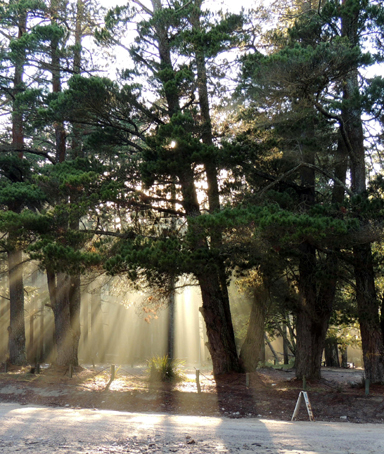
Bungleboori Camping Ground
Description:
And picnic area are on the eastern side of the intersection of Glowworm Tunnel Road and Old Bells Line of Road. Access is via State Mine Gully Road or via Clarence. This camping ground is not currently being maintained by the Lithgow Council and therefore cannot be recommended. This site originally contained two Forestry Commission cottages, subsequently one moved to the Afforestation Camp and one was moved to a private property on Mckanes Falls Road, Lithgow. Later the Forestry Commission installed toilets, now removed. Ref: Eric Lane, former forestry foreman, 20th November 2012.
Maps:
- Lithgow
Grid Reference:
- 395 004
Location:
Newnes State Forest
Status:
Threatened
Related Names:
Read More In:
Walks:
- GOS3.13: Carne Creek Cliffs, Joseph Creek and Murrays Line
- GOS3.15: Carne Creek Cliffs and Lurline Jack Lookout
- GOS4.40: In Heavens Realm
- GOS5.25: Aboriginal art caves
- GOS6.10: Sunnyside Canyon and Ravines
- GOS7.21: State Mine Gully and Hassans Walls
Photos: