Bush Explorers Encyclopaedia
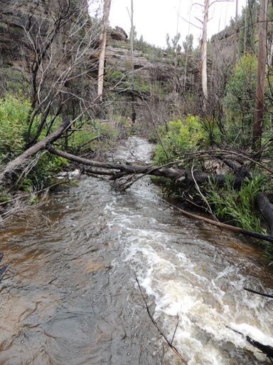
Is a watercourse, about 36km long. It rises on the eastern side of Glowworm Tunnel Road at Bungleboori Camping Ground and flows into the Wollangambe River. Forthe majority of its length, it generally flows in an easterly direction. GNB names register records the previous name for the southern tributary, which rises about 3km south west of Mount Horne, as Nine Mile Branch. The Lithgow Council, investigating the region for a suitable water supply for the town when it was experiencing a drought in the early 1940s, named the area as "Lithgow Water Supply Bungleboori Augmentation Scheme Catchment District". Ref: Lithgow Council Minutes, 12th January 1942. Originally, the two main creek sections of the western end of Bungleboori Creek were called North Branch Bungleboori Creek and the southern branch, Nine Mile Creek. The north branch is now called Dingo Creek.
- Lithgow and Wollangambe
- 400 007 headwaters
- 656 007 junction
- GOS2.19: The Minotaur Lair
- GOS4.11: Bungleboori Creek and the WWII Water Supply Dam
- GOS4.12: Bungleboori Creek and Clwydd Pass
- GOS4.13: Bungleboori Creek and two tributary creeks
- GOS4.14: Bungleboori Creek and ravines south of Waratah Ridge
- GOS4.15: Mount Horne - Bungleboori Creek and Paddys Creek
- GOS4.16: Bungleboori Creek - Paddys Creek
- GOS4.18: Holts Heaven and Dumbano Tunnels
- GOS4.30: Stillson Spur and Zig Zag Spur
- GOS4.32: Even closer to Heaven
- GOS4.34: Ravines above Popeye Canyon
- GOS4.37: The Arch in Arch Canyon
- GOS4.38: A day in Heaven
- GOS4.39: A day just outside Heaven
- GOS4.40: In Heavens Realm