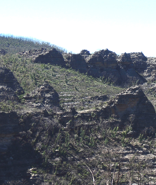
17 Sisters
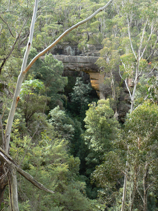
Is a string of pagodas stretching from 472 941 to 474 941. Located 1.5km south east of Goochs Crater. Named from a viewing point GR 465 928, when Ian Thorpe was leading a walk for SPAN Outdoors in 2006. The name lampooning the name, The Three Sisters.
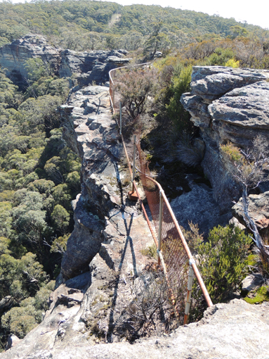
84 Foot Lookout
Is located on top of the cliff edge at Hassans Walls Reserve, between Nellies Glen and Pavilion Gully and 90m west of the communication tower. Named by Keith Painter and Brian Fox on an investigative walk 6th September 2016. This unnamed old fenced lookout has 84 feet of meshed fencing. Lithgow Mercury 17th May 1935, p. 4. Records, “ and a start will be made next week on the fencing of 84ft. of a new look-out.”
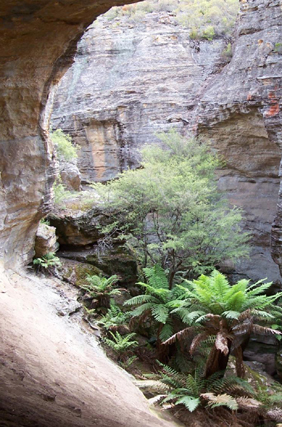
Acoustic Chamber
Is located within Sunnyside Canyon. Peter Medbury first visited the canyon on 2 November 2008. Peter had contacted Dave Noble at the time and he told me (Peter) the canyon was named Sunnyside Canyon. It had been named Acoustic Canyon when first discovered (late 70s??) but it turned out the name had been used so it was renamed to Sunnyside Canyon. I’d have been surprised if the name hadn’t already been applied to that Chamber (but I could well be wrong). On a later bushwalk by the Bush Club Mike Keats track notes record, The famous hemispherical cave in the lower reaches was visited. Pacing it out, it has a diameter of about 24m, a height of about 15m including a domed ceiling. Droppings on the floor show evidence of an active roost for bats.
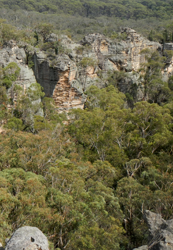
Adrenalin Creek
Flows in an approximate north to south direction for 6.5km, from the junction of Birds Rock Trail and Sunnyside Ridge Road to its confluence with Carne Creek. Contained in it's headwaters, is Cathedral Cave. Michael Keats recorded on 25th February 2013, "I have called this area, east of Firetrail No. 6 and the next ridge east, and questionably Firetrail No. 5, the Adrenalin Gorges of Carne Creek. The name is inspired by a complex terrain so stimulating and so beautiful it really gets the adrenalin flowing."
Adrenalin Head
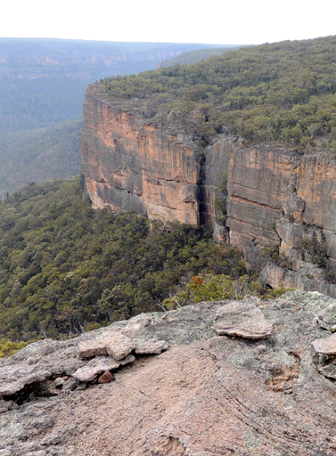
Is the prominent headland located at the end of Firetrail No. 6, south of the Wolgan Pinnacle and between Endorphin Gully and Adrenalin Creek. It is characterised by massive vertical cliffs up to 116m high and partly negotiable benched ledges. The highest point of the headland is at GR 384 137.
Adrenalin Ledge
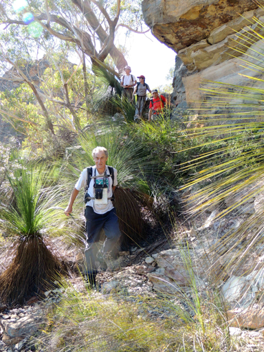
Is an incredible ledge, halfway below the cliff line overlooking Carne Creek. It extends for 1km. The midpoint is located 1km south east of the Wolgan Pinnacle, access via Sunnyside Ridge Road and Firetrail No. 6. So named by Yuri Bolotin on a Bush Club walk, 6th May 2013, in keeping with the name of the creek system to the east, Adrenalin Creek.
Adrenalin Ledge East
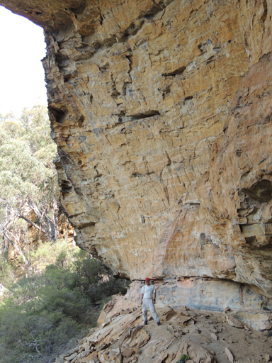
It also dawned on us that the ledge that had we had started walking on in the gully to the east was easily negotiable. Given that it is on the eastern side of Adrenalin Gully we decided to call it Adrenalin Ledge East. Bush Club walk 17th January 2014.
Adrenalin Slot
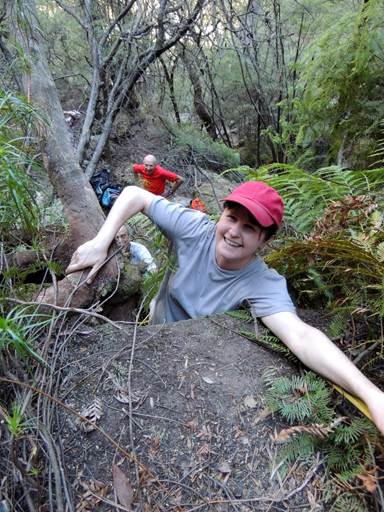
This slot is special and so it was that we agreed to call it Adrenalin Slot as it faces into, and connects with Adrenalin Creek. Bush Club walk 17th January 2014.
Airly
*
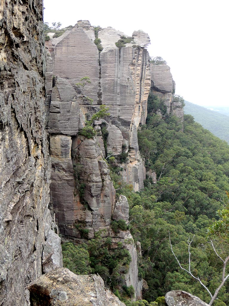
Is the locality name, which encompasses Mount Airly, Airly Turret and what was the Town of Airly. Glen Alice Topo Map, GR 240 332. The earliest reference to this name is recorded in Annabella Boswell's Journal, March 1839. She records the name Elyor, Erly Flat.
James Galagher purchased 40ac in the area in 1852 and used the name Airly. His second house at this location, constructed in 1863, was named Airly House. James" grandson, Rupert, recalls originally the place was called Early Flat.
Airlie is the obsolete dialect form of "early". The word Airly is also the obsolete term for earthly or heavenly and had a mention in Norton's verse in 1652, "which bare up Erth with his Aierly migh."
Ref: Mayne, Dianne. Airly Newsletter 1898. Unpublished, 1980. Galagher,Rodney. The Galaghers of Airly and Port Macquarie, 2010.
Airly Basin
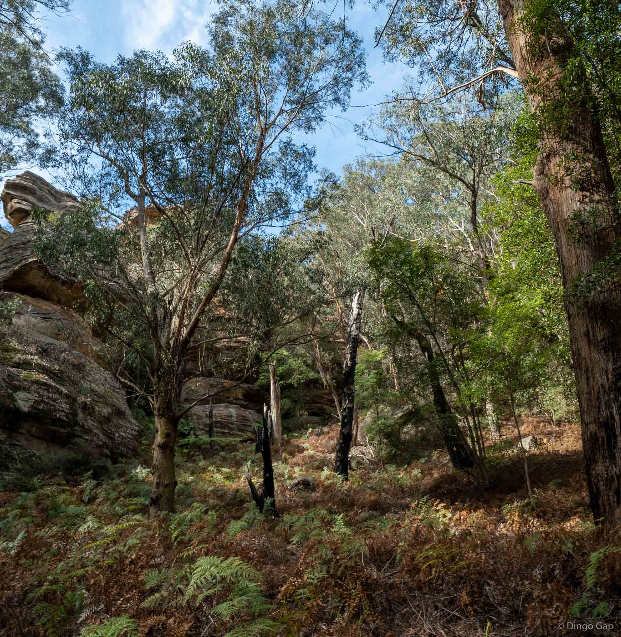
Is a small round hanging valley on the western side of Gap Creek, 600 metres north west of Airly Gap. The little valley is surrounded on three sides by walls of beautiful towering pagodas. Named by Peter Medbury 1 August 2011.
Airly Canyon
Is a short canyon starting on Mount Airly and traversing east to Airly Village. Named by Peter Medbury who records,“The canyon can be traversed in either direction. A tape is required near the top. There are a couple off pools near the top of the canyon. There is an old mine adit under a large rock shelf, a small dam on top and associated water pipes apparently used to supply water to the miners”.
Airly Connector Slot
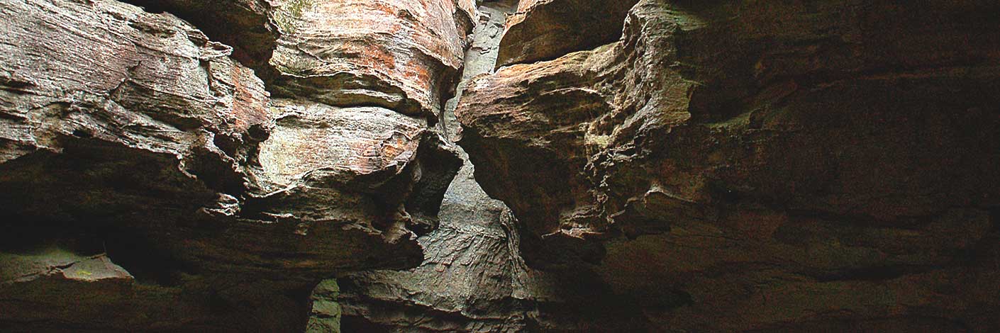
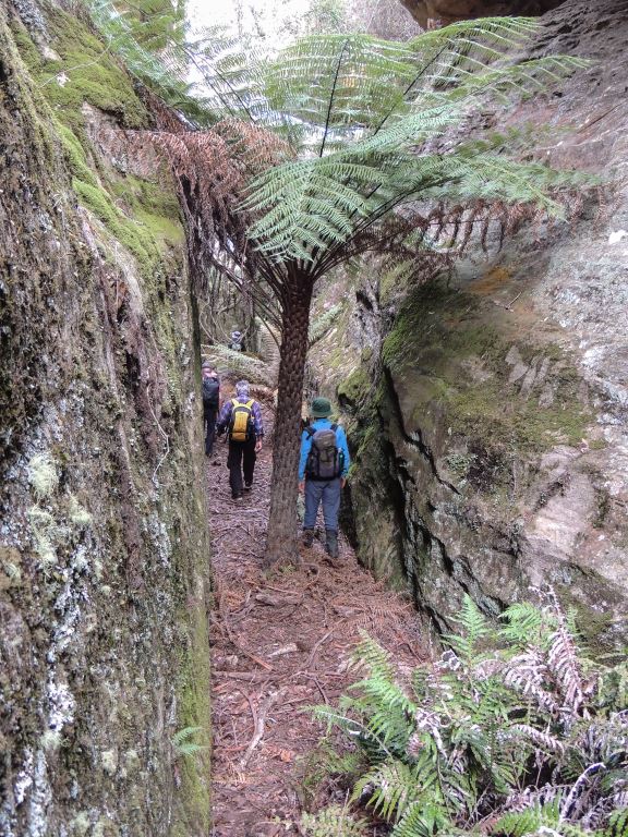
Is a natural 250m, gentle gradient passage between cliff lines of heights up to 20m. This slot access is an alternate means to using a section of the road from Rock Bottom, Airly Gap towards Mount Airly. The slot has a short tunnel section. Named by Michael Keats, Yuri Bolotin and Brian Fox on a Bush Club walk 23rd June 2017.
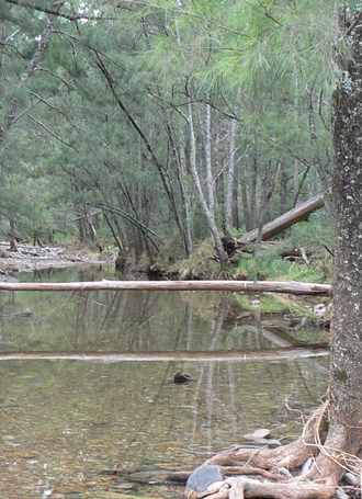
Airly Creek
*
Is a non perennial stream rising 4.8km north east of Capertee. It flows generally south east for about 12km into Coco Creek. Airly Creek is shown on the map Parish of Bandamora, 1882.
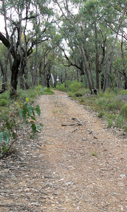
Airly Creek Trail
Is a NPWS signed walking track. It is approximately 5km in length and is based on former property access roads. It commences on Glen Davis Road and follows a ridge south, crosses Airly Creek and terminates at the junction with Murdocks Creek Trail.
Airly Flat
Is located on the Castlereagh Highway just north of the town of Capertee.This old name was used to describe the location of James Galagher's property. Ref: Survey Plan 12.1496, dated 4th November 1852. Bathurst Free Press and Mining Journal, 2nd July 1853, p. 4; col. 1.
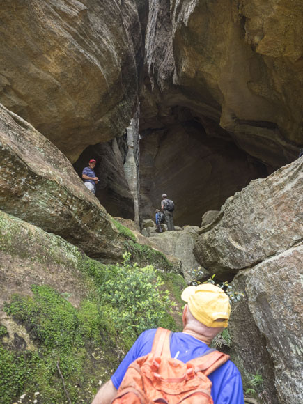
Airly Frustum
Is a hollowed out truncated cone or frustum.This glorious piece of architecture is some 20m in diameter. It is endowed with natural skylights and an internal water supply. At floor level colourful benched decks of red shale extend north and south; internally it is cluttered with fallen rocks like discarded furniture overturned as though someone left in haste. Located 340m due west of the communication tower at Airly. Named by John Fox on a Bush Club walk 16th November 2015.
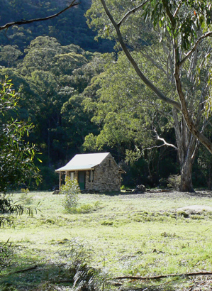
Airly Gap
Is a saddle separating the catchments of Gap Creek and Malcolms Gully. It was also the original access to the Town of Airly. It is located approximately 1.2km from Glen Davis Road. Also known as Airly Gate.
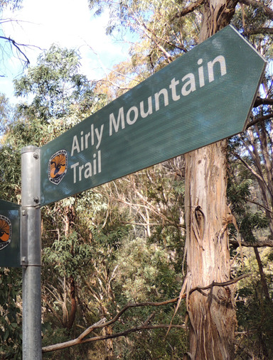
Airly Mountain Trail
Has been signposted by the NPWS (erected 2014). This trail starts at the intersection of the TramwayTrail, near the property Rock Bottom, GR 240 335. The trail winds its way up Mount Airly and along the top of the plateau and then in a north east direction to approximately 235 342.
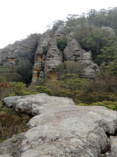
Airly Turret
*
Is a rocky peak about 2km south east of Mount Airly. Airly Turret is shown on the map Parish of Airly, 1st edition, 1884.
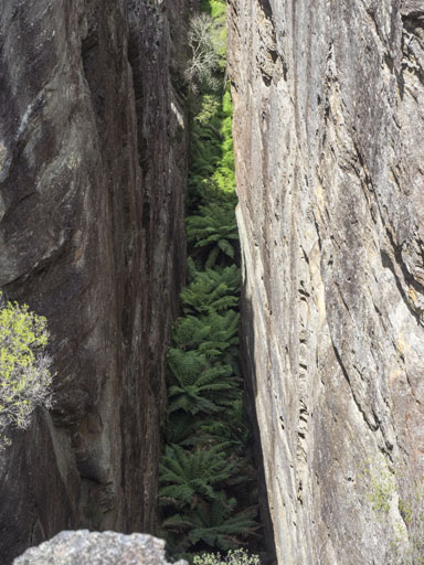
Airly Turret Slot
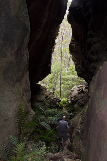
Located 240m due west of the communication tower at Airly is a major feature being some 3-5m wide, 45m deep and 100m in length, however traceable over a distance of more than 400m from Airly Turret in the south to a non negotiable 30m north point on the cliff line. The floor of this slot is full of the Soft Tree Ferns, Dicksonia antarctica. Named by Yuri Bolotin and Michael Keats on a Bush Club walk 16th November 2015.
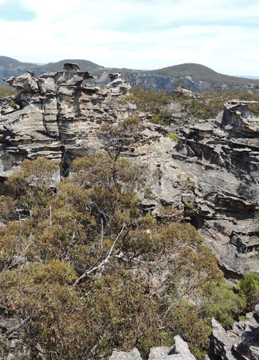
Alcatraz
Is a descriptive name based on the notorious prison in the USA. This prominent isolated impregnable monolith above 1000m is located south west of Woolpack Rock, and the southern extremity, between Hughes Defile and Woolpack Gap. The name was created by the original three who proposed the Gardens of Stone National Park, Rodney Falconer, David Blackwell and Dr Haydn Washington, in November 1984.
On 28th February 2017 Haydn clarified the naming of Alcatraz, “...with Alcatraz we were looking along the divide and saw past Woolpack Rock and that creek what seemed a virtually impregnable fortress of cliffs, so called it Alcatraz, and I recall it was interesting getting onto it. So it was the whole pagoda cluster that led me to give it that name.”
Alcatraz Pass
Located below the feature Alcatraz
Alcibiades Rift
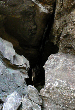
A 20m slot near the western end of Zeus Minor formed by a section of cliff line having broken off and fallen away to now give access from the western to eastern side of Zeus Minor. Alcibiades was an Athenian politician and general in the Peloponnesian War.After the death of his father in 447, he was brought up by Pericles and Pericles's brother Ariphron. He was notable for changing sides. Named on a Bush Club walk, 25th July 2011 by Michael Keats.
Alloway
Was named after the Alloway in Ayrshire, Scotland. Captain John Piper was born in Maybole, Ayrshire. Ref: Eldershaw, M. Bernard, The Life and Times of Captain John Piper, 1973, p. 126.
Alloway Creek
*
Is shown on the Parish of Coco map, 1883. It is a non perennial stream rising on the south west side of Mount Alloway. It flows generally south east and north, north east for about 6km into Airly Creek. The name Alloway Bank was the property name of Captain John Piper (1773-1851), whose main residence was in Bathurst. He also held grazing rights in this area of Alloway Creek. Fry, Ken. Beyond the Barrier, 1993, p. 118, records Captain John Piper "excelled in hospitality and social graces. His door was always open to guests and visitors of his class." John Piper was an early Magistrate and hence held in high honour and esteem.
Alois Creek
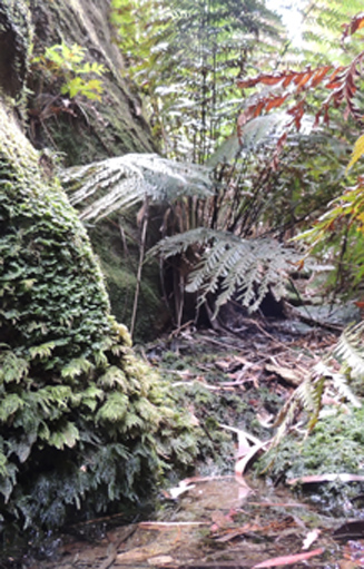
Has its headwaters on the Great Dividing Range 4km south east of Cullen Bullen. It flows south, then east for 3.6km into the Coxs River. Named by Michael Keats on a Bush Club walk on 19th October 2012. Named after Alois Joseph Neubeck (1821-1904). When he and his wife Clara emigrated from Germany to Australia in 1855, they moved to Wallerawang and Alois was employed by James Walker. In 1862, the family moved to Blackmans Flat (near the present day Mount Piper Power Station), where he set up a business as a blacksmith, and also provided a staging area for Cobb and Co.
Alois Spur
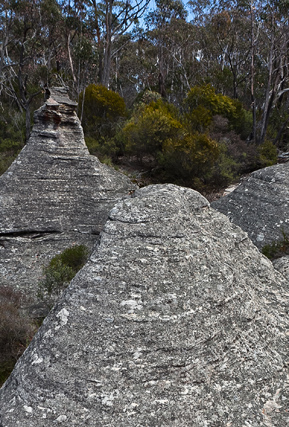
Is located to the east of Hermits Spur and is conjoined to it at its northern extremity, GR 272 083. Named by Michael Keats on a Bush Club walk, 19th October 2012. Named after Alois Joseph Neubeck (1821-1904).This spur extends south for about 1.8km.
Altar Room
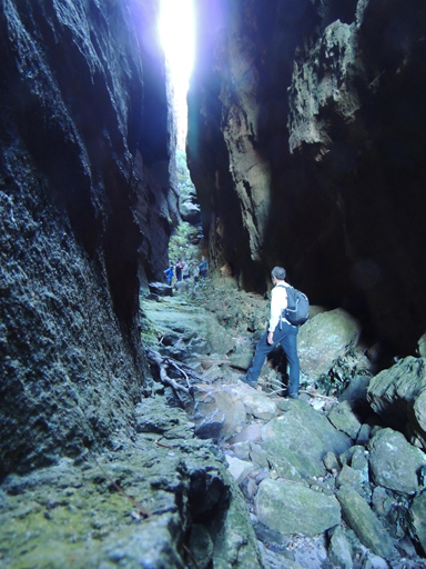
Yuri Bolotin devised the name, the Altar Room, after his emotional experience of visiting the place on 10th September 2011 on a walk led by Tom Brennan. He did not share his thoughts with others in the party at that time but returned to that place a few months after.The Altar Room is a pass about 250m in overall length joining Little Capertee Creek to the crest dividing it from the Canobla Creek. The ascent from bottom to top is about 350m. Altar Room, previous name by Dave Noble 2002, Suspira Canyon, The Three Mothers by E.Varelli.
Altar Room Panorama
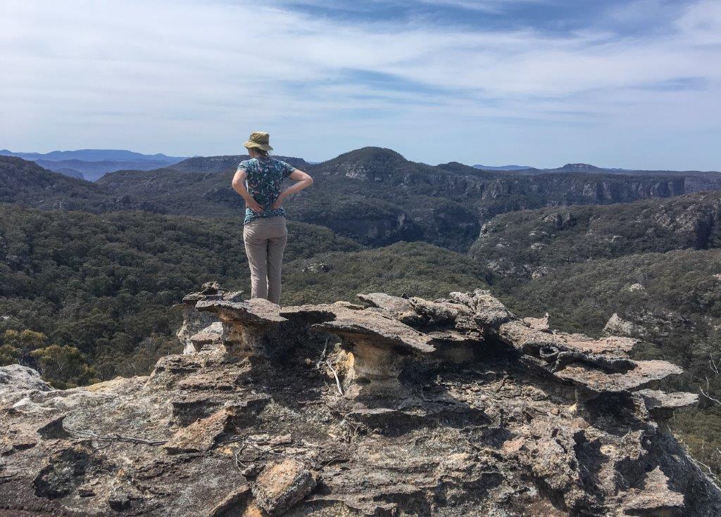
is located 2.1 km north east of Mount Dawson. Named by Yuri Bolotin and Brian Fox on a bushwalk of 27 September 2019. Yuri recorded, “The most prominent, striking feature right in the middle of this expansive vista is a tremendous gash in the cliffs north of Little Capertee Creek, the Altar Room.”
Amphitheatres Pass
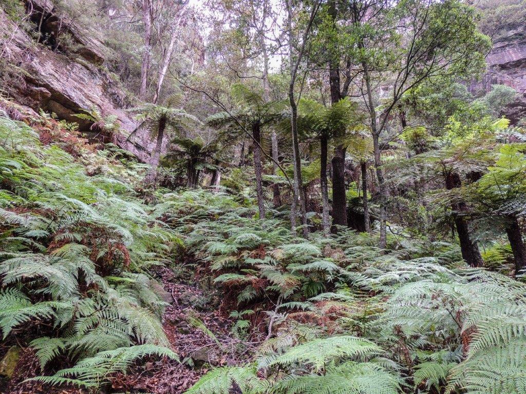
Is a pass which breaches the cliff line between Woolpack Gap and Collett Gap giving access to the Wolgan Capertee Divide. Through not as easy as the other passes in this area, a narrow steep slot at the top on the western side of the amphitheatre gives final access to the divide. The amphitheatres is a descriptive name adopted for the shape of this tree fern laden area. Named by Yuri Bolotin and Brian Fox on a Bush Club walk 16th March 2018.
Angels Rest
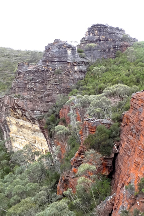
Is a 360 degree view atop a pagoda with extensive views into the incised convolutions of the Bungleboori Creek, where each twist and turn is embellished with pagodas, cliffs, caves and decorated walls, while deep dark patches indicate the presence of hidden canyon sections. Located 2.8km north east of Bald Trig Station and accessed via the firetrail towards Dumbano Creek. This name was coined by Michael Keats on a bush walk, 30th April 2012, to coincide with the named feature to the east, Holts Heaven.
Angels Rest Falls
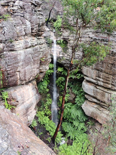
Is located on a southern tributary of Bungleboori Creek, 2.9km north east of Bald Trig. This perennial waterfall has a drop of about 30m. After heavy rain it is spectacular, flowing into a ravine of tree ferns. Named by Michael Keats on a Bush Club walk 12th January 2015 as it is in close proximity to the pagoda known as Angels Rest.
Angels Window
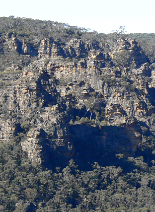
Was named along with the heavenly theme of other features in this area. This single pagoda on the northern side of Bungleboori Creek gives impressive 180 degree views of a pagoda studded landscape, particularly south east towards Holts Heaven. Named by Brian Fox,Yuri Bolotin and Michael Keats on a Bush Club walk, 21st May 2012.
Angry Man Lookout
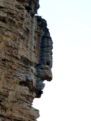
Is a lookout point from where a giant caricature of a face was spotted high on the cliff face (looking east down Capertee Creek) by Marion Davies. Viewed from a rocky pinnacle above Capertee Creek along Newnes Balcony East. Named by Yuri Bolotin and Brian Fox on a Bush Club walk, 1st November 2013.
Angus Place
*
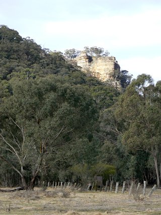
Is a locality about 4km south of Wolgan Gap and 4km north, north east of Lidsdale. Angus is another Scottish name within this region. Airlie in Scotland is located within the County of Angus. Ref: Gazetteer of British Place Names. James Walker was one of the original land owners holding a number of portions of land in this vicinity. He emigrated from Perth, Scotland in 1823. Angus is a locality in close proximity to Perth, Scotland. The Survey Plan of Portions 71-73, dated 28th August 1930, showing one acre blocks, has the pencilled text, Angus Place. Ref: Survey Plan C2803.1507.
Angus Place Trail
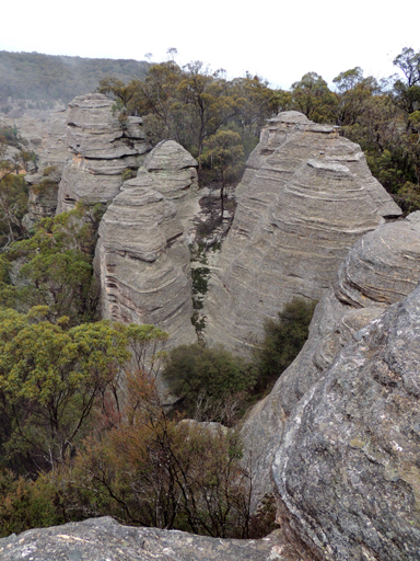
Is a NPWS signed walking track. It is approximately 5km in length, commencing on the Wolgan Road at Angus Place, GR 299 056, and terminating at a junction with the Beecroft Firetrail, GR 321 030. Also see Dando's Firetrail
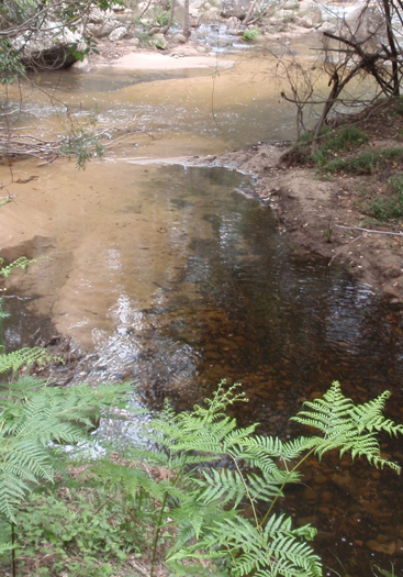
Annie Rowan Creek
*
Is a perennial stream rising about 2km south east of Mount Cameron. It flows generally north for about 9km into the Wolgan River about 1.5km south west of Mount Morgan. It first appeared on the map Parish of Barton, 1884. At the junction of the Wolgan River and Annie Rowan Creek is the feature known as (see) Binnings Hole. It is most likely Annie Rowan was the sister of Walter Rowan who died on 3rd November 1858, aged 40. Rowans Hole was named after Walter Rowan. Ref: NSW BDM Rego No. 5413/1858 and Old Catholic Cemetery, North Street, Nowra records.
Ant Hill
Is located midway along Ant Hill Ridge at 1025m. Named by Peter Fox, National Parks Association bushwalker, 1995-1998.
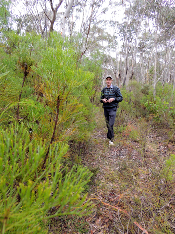
Ant Hill Ridge
Generally trends north south off Girdwood Ridge. On the eastern side is the feature known as Holts Heaven. The northern end of the fire trail on this ridge leads to the headwaters of Dumbano Creek.
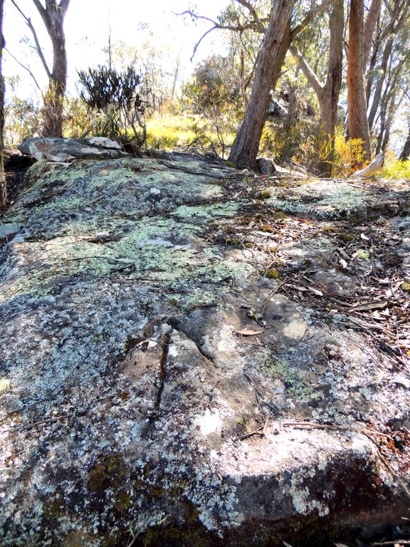
Anzac Ridge
Refers to the spur line 300m in length extending south of King Georges Head towards the Great Western Highway, within Hassans Walls Reserve, Lithgow. The Democrat, 1st October 1915, p. 6, records the progress association, entry,“new track….to King George’s Head Rock, and thence to a small ridge overlooking the Bathurst-road, which was recently named Anzac Ridge." So named after the Australian and New Zealand troops landing at Anzac Cove, Gallipoli, 25th April 1915.
Apex Lookout
Is located in the vicinity of Bracey Trig Station. Access via the southern end of Bridge Street, Lithgow. The Apex Club of Lithgow developed the area in 1952-53. The Lithgow Mercury, 6th July 1953, p. 2, records, “ During the week-end, under the supervision of Mr. Glen Edgar, a working bee formed a track, from the Apex Lookout, the furthest point which could be previously reached by vehicles, to Bracey's Lookout so that material could be taken to the proposed site of the lookout shelter shed."
Apex Point
Is the point of land in the vicinity of Bracey Trig Station. Access via the southern end of Bridge Street, Lithgow. The Lithgow Mercury, 28th October 1952, p. 2 and 7th July 1954, p. 3, records,“A preliminary survey, conducted by a team of five members of Lithgow Apex, on Saturday pegged out portion of a proposed easy access route from the junction of Bridge and Esk streets, around Apex Point, to Bracey Lookout and Hassans Walls Lookout."
Apple Tree Point
Is the end of the ridge line above Annie Rowan Creek, 3.4km north, north east of Mount Cameron. Local usage name prior to 1980s. Ref: correspondence with Danny Whitty, 3rd July 2010.
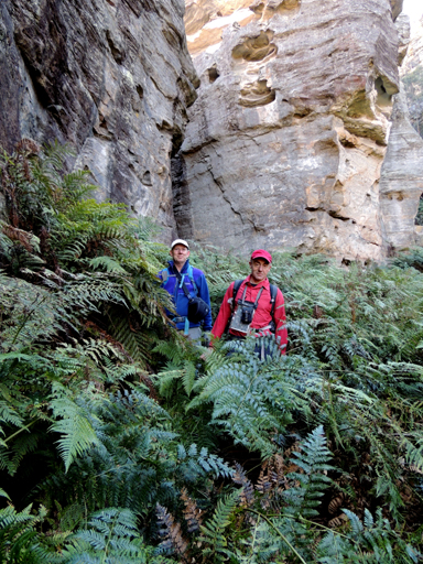
Aragorn Slot
Is a beautiful slot crowned with stunning pagoda formations on the top. Aragorn is the main protagonist of Lord of the Rings who was instrumental in the quest against the forces of evil. Named by Yuri Bolotin on a Bush Club walk on 15th August 2013, in keeping with his Lord of the Rings themed names in this area. Located 1.2km north east of InvincibleTrig Station.
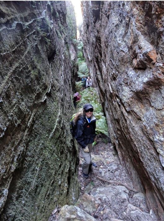
Ariadne Needles
Are two slots within the Koopartoo Mesa complex. Located 1.9km west of the Wolgan River and Zobels Gully junction. Named by Yuri Bolotin on a bushwalk 22 August 2017 who recorded,“two thin parallel slots, close to one another, about 130m and 80m long, both negotiable. You can take one to go up for incredible views from the top, and another one to come down. I will call them Ariadne Needles.”The name is in keeping with the mythology theme names related to the Minotaur, Ariadne Thread, etc.
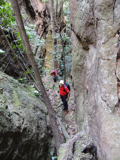
Ariadne Thread
Is an amazing slot that allows walking access from the northern section of Koopartoo Mesa down into the eastern end of Minotaur Lair. Located 1.5km near due west of the Wolgan River / Zobels Gully junction. This cliff lined slot drops 80m and has an overall length of 200m. It would rank as one of the most spectacular descents in the Wollemi National Park. A tape is recommended in at least two locations for extra caution when traversing this slot. Jointly named by Yuri Bolotin, Michael Keats and Brian Fox on a Bush Club walk on 10th October 2016. The Greek myth of the Labyrinth and the Minotaur, where Ariadne gave Theseus a ball of red thread to follow out of the Minotaur Lair, provided us with an ancient insight on how to find our way through the slot. A 10 m high stone statue of Ariadne stands at the bottom part of the slot.
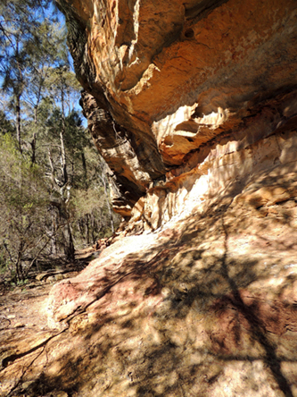
Arwens Pathway
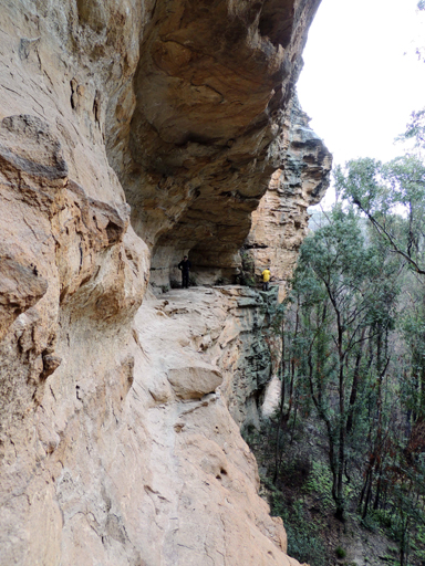
Is located on the Ben Bullen Range, 2.7km east, south east of Cullen Bullen. This is a beautiful long overhang, decorated with ornate weathering and multi coloured layers. The overhang connects the Hall of Celebrian to the cliff line that rises to the Hall of Elrond. Hall of Arwen is located at GR 268 104 at the start of Arwens Pathway. Named by Yuri Bolotin on a Bush Club walk, 28th June 2012. Arwen is the daughter of Elrond and Celebrian and the future wife of Aragorn, the main hero of Lord of the Rings. Yuri has named several features in this area based on the fictional characters created by J. R. R Tolkien.