Blackfellows Hand Rock
*
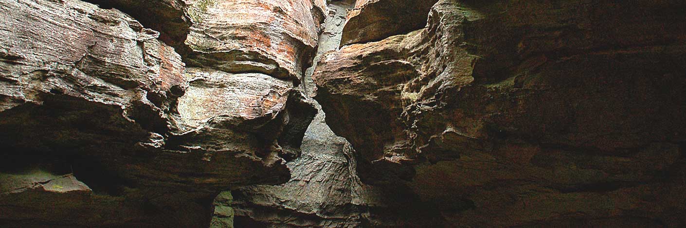
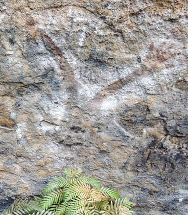
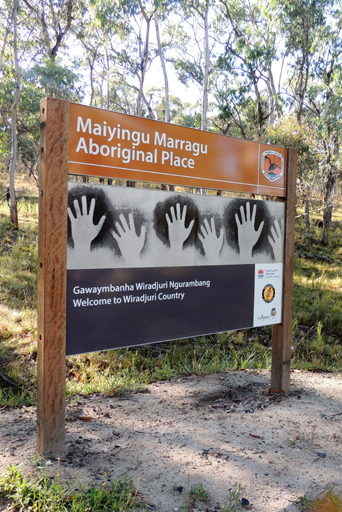
Also known as Mayinygu Marragu also spelt as Maiyingu Marragu, is a spectacular rock wall and overhang located about 1km south, south east of Wolgan Gap. It is a significant Aboriginal stencil art site. The State Government Gazette, 18th July 2008, p. 7252 describes the land County Cook, Parish Cox, about 491 hectares, being Crown Reserve R 42350 for public Recreation. Notified 15th January 1908, excluding that part of Ben Bullen State Forest dedicated over the Crown Reserve and the Council Public road within the Crown Reserve. NPWS/07/12315. Blackfellows Hand Shelter and Complex was declared an Aboriginal Place, 8th November 2008. This grants it additional protection under the NPWS Act and assures the Wiradjuri people an ongoing link with their cultural heritage. Ref: Connections. The Wiradjuri name for the site is Mayinygu Marragu, various spellings, source Mingann Aboriginal Corp, Lithgow. Correspondence, 3rd February 2012: Helen Riley, widow of the late Mugii Murum-ban. Later reference 25th July 2016, Mingann confirmed the spelling as Maiyingu. An article in The Lithgow Mercury, 1907, records, in the vicinity of Wolgan Gap, “is a commodious arched rock shelter, which is liberally endowed with quaint designs of Aboriginal skill in the way of hands, feet and boomerangs that appear in the rock faces.” The Survey Plan C2323-1507, dated 13th February 1914, shows, ‘Cave with Aboriginal Markings.’ A detailed notice board was erected March 2016 on the approach road Blackfellows Hand Trail.
Ref: Lithgow Mercury 13 December 1907, p. 3 "Local residents, particularly Mr. R. H. Bulkelry, are agitating that a Government reserve, to include the Gap and rock shelters, be made."
Ref: Lithgow Mercury 14th June 1918.
Blackfellows Hand Trail
Joins Wolgan Road at GR 309 090, 800m south of Wolgan Gap, and extends to Beecroft Firetrail, GR 358 026. Note: from the junction of Beecroft Firetrail and Blackfellows Hand Trail to the Glowworm Tunnel Road at Bungleboori, it is signposted as Blackfellows Hand Trail, but in fact it is Old Bells Line of Road. Cullen Bullen and Lithgow Topo Maps. Note: A high clearance 4WD is required for the western section between Blackfellows Hand Rock and Fire Trail No. 5.
Blackmans Creek
*
Rises from a number of tributaries between the southern side of Browns Gap and the western side of Mount Clarence. A partly perennial stream, it flows generally south, south east for about 4.8km into River Lett. John Blackman owned at one stage 687 acres of land surrounding this creek system. Ref: Parish of Lett, 2nd edition, 1890.
Blackmans Crown
*
Is a hill rising about 240 metres from Turon Creek with a height of 1015m. It is about 3km south, south east of Capertee and 1km south of Pearsons Lookout. Located on the Great Dividing Range, this part of the ridge is locally known as Crown Ridge.The NSW Government Gazette, 1835, p. 24, records the name Blackmans Crown. Lang, John Dunmore. An Historical and Statistical Account of New South Wales, 1875, p. 220, records,"the singularly formed summit of which is called Blackman's Crown, in honour of one of the earliest settlers at Mudgee, whose hat or head piece it was to resemble."
Blackmans Flat
*
Is a suburb 7.5km south, south east of Cullen Bullen and 3km north, north west of Lidsdale. Boundaries are within the Lithgow Council area. The Castlereagh Highway passes through it. The name Blackmans Flat is shown on Survey Plan 13.1507, dated 1853. Blackmans Flat was the site of Diggers Arms Inn, and the road in this area had a government toll gate. James Blackman (c1792-1868) married Mary John in 1815. He was the principal overseer of Government Stock. Ref: The Sydney Gazette, 30th April 1814, p. 2. This same newspaper on 5th July 1822, p. 1, recorded the Governor appointing him as Constable in the Town of Parramatta. Between the years 1819 and 1821, he was the Superintendent of Convicts at Bathurst. In c1821, he marked out a road from Bathurst to Wallerawang. Together with William Lawson and an Aboriginal named Aaron, in 1822, they explored a route from Bathurst to within the Rylstone area. Ref: Gresser, P J. The Aborigines of the Bathurst District from AIATSIS Library MS21/3/b, pp. 4-5. Australian Dictionary of Biography. Blackmans Crown shown on the Survey Plan by Robert Dixon, September 1830. Surveyor General select list of Maps and Plans, 2517.
Blacks Corner
*
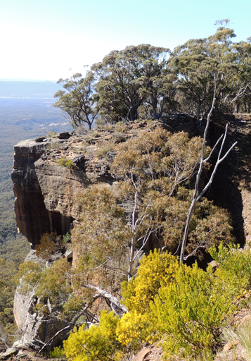
Is a local name recorded by Eardley and Stephens, "The ramparts of Airly Mountain are located on the western portion of the Morandurey (or Genowlan) Range and its rugged escarpments and out-jutting spurs, in plan view, resemble a three-leafed shamrock bending towards the east, a narrow-necked western extension, curling around northwards provided the shamrock shape with a figurative stalk which terminates in a headland known as Black's Corner." Ref: Eardley, G H. and Stephens, E M. The Shale Railways of NSW, 1974, p. 88. Within the chapter, The Genowlan Shale Company, Airly. The headland is located at approximately GR 230 360 with a height of just over 1020m.
Blacksmiths Cave
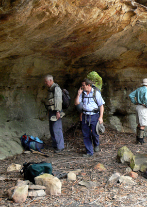
Is located 600m south west of the intersection of Petra Avenue and Donald Road, Clarence. This sandstone overhang is 7m long by 4m wide and has a small, oval shaped opening at the back of the cave. Named Blacksmiths Cave, as at one time blacksmithing tools were located within it. This cave would have been in use during the period 1908-1910, when construction of the 10 tunnel deviations for the Main Western Line was being done. It was very likely named at this time.
Blue Mountains Range
*
Is a range of mountains, plateau and escarpments extending off the Great Dividing Range about 4.8km north west of Wolgan Gap ina generally south east direction for about 96km and terminating at Emu Plains.For about two thirds of its length it is traversed by the Great Western Highway and the Main Western Railway. Several established towns are situated on its heights, including Katoomba, Blackheath, Mount Victoria, and Springwood. It forms the watershed between Coxs River to the south and the Grose and Wolgan Rivers to the north. The range is bounded on the north by the Wolgan and Colo Rivers, on the west and south by Coxs River and Lake Burragorang, and on the east by the Nepean-Hawkesbury River. Blue Mountains Range is shown on the Map of Colony of NSW by Robert Dixon, 20th July 1837. The range was crossed by Blaxland, Wentworth and Lawson in 1813. Surveyor George Evans was instructed by Governor Macquarie to survey the road over the Blue Mountains, which he started in November 1813. William Cox was then commissioned to build the road. Work started on 18th July 1814 and was completed in March 1815.
Blue Rock
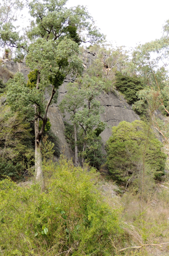
Also called Blue Rocks, is a massive Devonian Limestone outcrop located on Crown Creek, midway between Pantoneys Crown and Mount Stewart in the Capertee Valley.
Blue Rock Creek
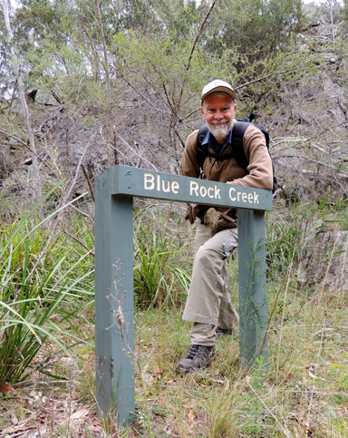
Flows from Blue Rock Gap between Mount Stewart and Point Cameron in a north, north westerly direction for 2.5km into Crown Creek. Where Crown Creek Trail crosses this creek, NPWS signage indicates Blue Rock Creek.
Blue Rock Gap
*
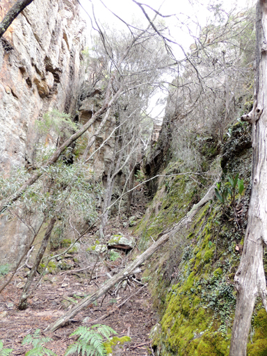
Is a saddle dividing the watersheds of Crown Creek on the north west and Barton Creek on the south east. Located between Mount Davidson and Hughes Defile. GNB records, 27th August 1970 suggests that name is believed to depict the colour of the rock obtainable from Crown Creek. The name is recorded as Blue Cap Rock on the 2nd, 3rd and 4th editions of Parish of Goollooinboin maps, 1903-1930.
Blue Rocks
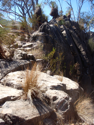
Consist of a massive outcrop of greyish - blue limestone, with a vertical face about 300 feet in height, which has been caused by the undermining and solvent action of the water of Crown Swamp Creek along a joint plane. The water disappears at this point, and is not seen above ground for about 3 miles, where it trickles over bars of travertine." Ref: Carne, Joseph Edmund. Mineral Resources of the Western Coalfield,1908, p. 245. The limestone outcrop supports a unique and distinctive vegetation, that includes the White Box Eucalypt, the Grass Tree, Xanthorrhoea glauca and the easternmost example of desert Spinifex Grass, Triodia. It also supports an extensive and unique native land snail fauna.
Braceys Lookout
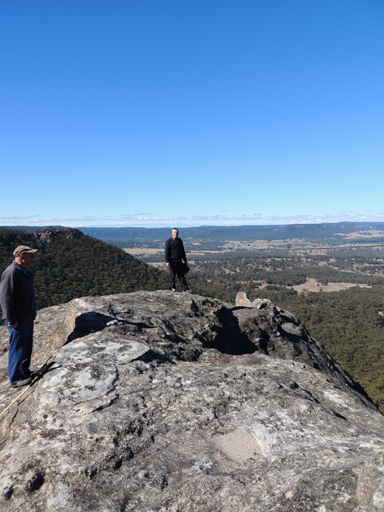
This old lookout not to be confused with the current Braceys Lookout overlooking Lithgow, was located on the top of a large singular rock just down from the top of Hassans Glen and on the eastern side, near the road junction of Hassans Walls Road and the road to Padleys Pedestal. The Lithgow Mercury, 14th May 1915, p. 4, records, “This fine attraction has been named Bracey's Lookout, in recognition of the services to the town of Major Bracey, who has been identified prominently with local public matters for several years. " Horace Bracey (1852-1928), served as Mayor of Lithgow in 1895-96, 1903, 1906, 1910. Below this rock is Sandford Cave and Pillans Lookout and on the top of the rock is the feature known as the Natural Throne.
Braceys Lookout
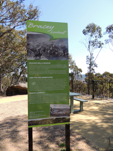
Overlooks Lithgow and is accessed by foot up the Eskbank Track or via Hassans Walls Road and Norm Henry Drive. The Lithgow Mercury, 28th October 1952, p. 2, records, " Bracey's Lookout, as a tribute to the late Mr. H. E. S. Bracey, whose works as a pioneer of Lithgow should carry a mark of perpetual remembrance." Braceys Lookout was redeveloped by Lithgow City Council in 2012 and rededicated in September with several members of the Bracey family in attendance. The solid concrete shelter shed from the 1950s is gone, but the name from it has been preserved on a nearby boulder.
Bracey Trig Station
Is located 300m north west of near Braceys Lookout, Lithgow. Elevation of 1021m. The steel pillar was placed by the Lands Department on 13th December 1976. Named after Horace Edward Seymour Bracey (1852-1928), Hassans Walls Trustee 1892-98. Ref: Lands Department SCIMS Survey Mark Report.
Breakaway Point
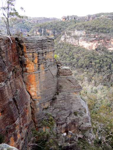
Refers to a 7m x 2.5m rock platform having a 50m drop on three sides and a half metre gap on the fourth side to access this incredible view point. Located above the main bifurcation of Capertee Creek, and 3.1km south west of the old Newnes Hotel. Views of the surrounding cliff lines and downwards to the green pastures of the western end of the property known as Red Cliffs. Named by Brian Fox and Yuri Bolotin on a bushwalk of 23rd September 2016.
Brighties Falls
Are located 3km north, north west of Mount Cameron. Below the falls, the unnamed creek flows into Annie Rowan Creek. Access is via Mount Cameron Trail. Ref: Correspondence with Danny Whitty, 3rd July 2010. Danny recalls his mother calling the falls, Bridal Falls when she was a child due to the 25ft (7.62m) thin mist (as a bridal veil). Local usage name c1920s.
Broad Swamp
Is the headwaters of East Creek, Newnes Plateau. Located between North Ridge Road and Camp Road, 3.5km north east of Bungleboori Camping Ground. Descriptive name was applied to this 150m wide, 20ha swamp in February 1985.Boronia deanei is one of the main native shrubs in this area.
Broken Barrier Range
Was described as, "This convoluted range divides the Wolgan Valley from Capertee Valley."Ref: Morgan, MacLeod. A short history of the Wolgan Valley, 1959. RAHS Journal, Vol. 45, Pt. 2, p. 94. This name is no longer in use. This range is part of the Great Dividing Range.
Browns Gap
Also known simply as, The Gap, is the access between Lithgow and Hartley, via Browns Gap Road. The Sun, 16th April 1913, p. 5, records the Aboriginal name as,Gnallwarra. Named after Thomas Brown (1811-1889), who lived atEskbank House . Thomas Brown was police magistrate and land commissioner for the district of Hartley and used to ride down a bridle track in the vicinity of the present road over the Gap on his way to and from the courthouse at Hartley. Ref: Lithgow Mercury 9th June 1916, p. 6. The Empire, 20th April 1865, p. 7, records the name Browns Gap.
Browns Gap Track
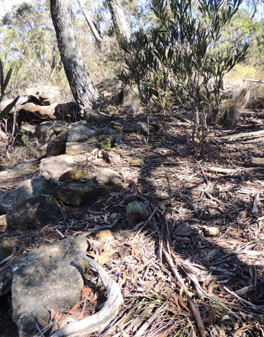
At Hassans Walls Reserve is recorded in the Democrat, 9th October 1915, p. 13,"Early in the year we also made a six feet track from the Centenary Pavilion, a distance of about one and a half mile, connecting with Brown's Gap and Wilton's Ridge, another return track from Lithgow……This track named the Brown's Gap track. ” Named after Thomas Brown (1811-1889). This is now part of Hassans Walls Road. Original stone work can be seen at the top of Hassans Glen and start of the Undercliff Track.
Browns Swamp
*
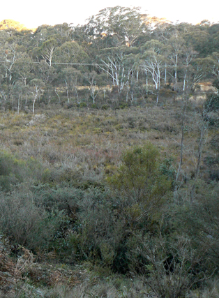
Is a swamp about 800m north east of Clarence Railway Station and on the northern side of Bells Line of Road. Shown on the map Parish of Marangaroo, 1889 and the Parish of Lett. Named after Valentine Harding Brown who owned 280 acres of land on the western side of Browns Swamp. He also held the lease for a sawmill at Medlow (Medlow Bath) from 1 January 1881, for 5 years.
Bubyong Pass
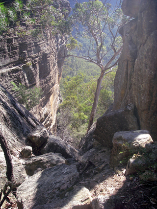
Is a natural pass that gives access from the southern side of the Wolgan River up to the top of a plateau. Located 1.3km south, south east from Rocky Creek and Wolgan River junction. Named by Michael Keats on his Bush Club walk, 2nd October 2007. Michael's choice was derived from an Aboriginal Gundungurra word for 'head'.
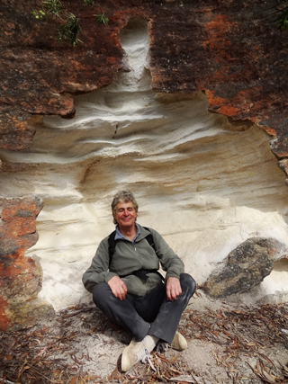
Buddha Cave
Is a small niche, eroded into the base of a sandstone wall, the shape and white grains of sand give it the appearance of being a Buddha retreat. Named by Michael Keats on a Bush Club walk, 15th August 2013. Located 1.6km north east of Invincible Trig Station.
Budgary Creek
*
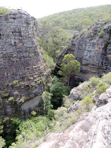
Is a watercourse, about 9km long. It rises at Cockatoo Hill Trig Station and flows generally north east by north into Rocky Creek.
Bulla Nadgyung
Is an Aboriginal Gundungurra word for 'two waters'. It refers to two, opposing waterfalls about 15m in height within Minyaba Canyon, 900m south east of Mount Norris. Named by Michael Keats on his Bush Club walk, 31st October 2007.
Bulls Camp
Is located1.5km due west of Birds Rock Trig. Access was via Sunnyside Ridge Road. Ref: Correspondence with Danny Whitty, 3rd July 2010. Local usage name prior to 1980s. Stockyards were constructed in this area.
Bullwhip Slot
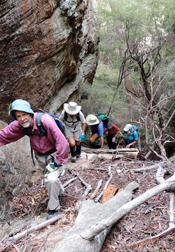
Yuri Bolotin named it on a Bush Club walk 20th January 2014. The bull whip being Zorro's second weapon of choice. Located 60m west of Rapier Slot and 100m west of Zorro Canyon.
Bungleboori
*
Was designated as a Rural Place by the Geographical Names Board on 11th July 1997.
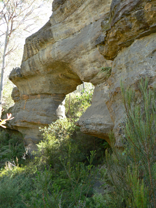
Bungleboori Arch
Is located 1.3km, 10 degrees west of south from Mount Horne. It is oriented north west to south east. Bungleboori Creek flows around the Arch to the north west, not through it. The dimensions of the actual Arch are thickness 3m, reasonably uniform, width 12m at the base and height 9m.
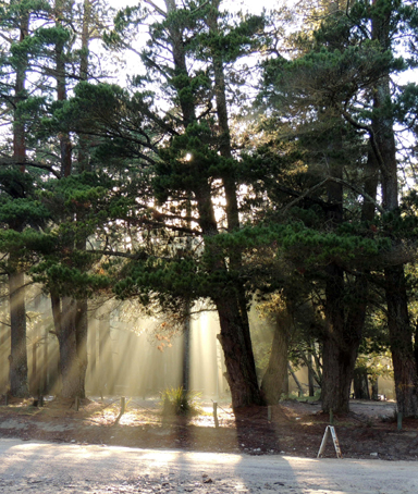
Bungleboori Camping Ground
And picnic area are on the eastern side of the intersection of Glowworm Tunnel Road and Old Bells Line of Road. Access is via State Mine Gully Road or via Clarence. This camping ground is not currently being maintained by the Lithgow Council and therefore cannot be recommended. This site originally contained two Forestry Commission cottages, subsequently one moved to the Afforestation Camp and one was moved to a private property on Mckanes Falls Road, Lithgow. Later the Forestry Commission installed toilets, now removed. Ref: Eric Lane, former forestry foreman, 20th November 2012.
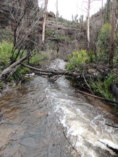
Bungleboori Creek
*
Is a watercourse, about 36km long. It rises on the eastern side of Glowworm Tunnel Road at Bungleboori Camping Ground and flows into the Wollangambe River. Forthe majority of its length, it generally flows in an easterly direction. GNB names register records the previous name for the southern tributary, which rises about 3km south west of Mount Horne, as Nine Mile Branch. The Lithgow Council, investigating the region for a suitable water supply for the town when it was experiencing a drought in the early 1940s, named the area as "Lithgow Water Supply Bungleboori Augmentation Scheme Catchment District". Ref: Lithgow Council Minutes, 12th January 1942. Originally, the two main creek sections of the western end of Bungleboori Creek were called North Branch Bungleboori Creek and the southern branch, Nine Mile Creek. The north branch is now called Dingo Creek.
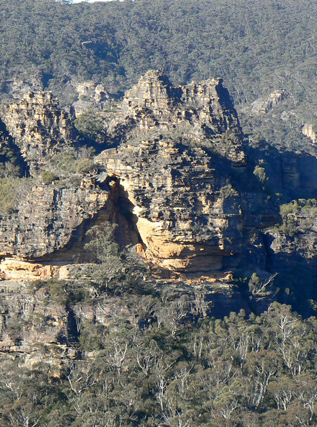
Bungleboori Lookout
A local name, is located 2.6km northeast of Bald Trig Station. Access is via 4WD firetrails to a mine airshaft GR 444 975 and walking north east to the end of the ridge line. Bungleboori Lookout is highlighted in Karen McLaughlin's pamphlet, short walks on the Newnes Plateau. Compiled for the Blue Mountains Conservation Society, June 2009. There are spectacular views from a narrow ridge line towards north and east of Bungleboori Creek and surrounding area. The three Aboriginal named creeks, Bungleboori, Dumbano and Yarramun, are shown on the Wallerawang one inch to the mile Army Topo Map, March 1933, most likely named by Lt. Col. Hugh Powell Gough 'Major' Clews when he compiled this map sheet.
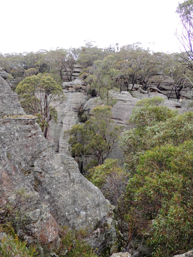
Bushrangers Creek
Has its headwaters in a 900m ravine between the western side of Sunnyside cliffs and the eastern side of Cape Pinnacle cliffs. This creek flows generally north and north east for about 5.5km to its junction with the Wolgan River. Named by Hugh Speirs in 2011 after his bushwalking group, called the Bushrangers.
Camp Cave
Refers to the large series of overhangs and the cave at Point Cameron. Ref: Correspondence with Rodney Falconer, 3rd May 2010. Rodney also remembers this as the Point Cameron Hotel. Named c1984.
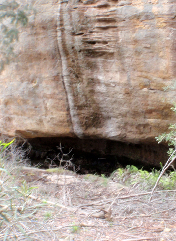
Camp Cave
Is a large overhang on the southern side of the upper reaches of Genowlan Creek, 1.1km north of Genowlan Trig Station. Named by Colin (Col) Maxwell Ribaux, former property owner of Airly Mountain. Camp Cave has a number of options for water, depending on recent rains. Ref: Correspondence with David Blackwell, 28th April 2010 and Haydn Washington, 30th May 2010.
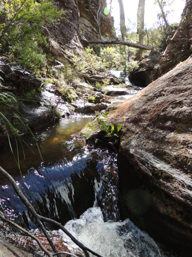
Camp Creek
Has its headwaters on Waratah Ridge and flows generally south for 5km, passing through Murrays Swamp. It then generally winds in a westerly direction between Firetrails No. 1 and 2 until it joins Carne Creek. Named after the road, Camp Road, which in turn was named after the old Newnes Afforestation Camp. Descriptive name coined by Michael Keats on his Bush Club walk, 7th March 2007.
Campground Defile
Above Campground Point on Old Baldy which is the cliff line above and north of Capertee Camping Ground at Newnes is a defile raising in a north west direction in a steep narrow gully, 400m in length, variable depth of 80m and width 10-20m. Named by Yuri Bolotin on a Bush Club walk 2nd October 2015, when he led a walk along Skywalker Traverse on Old Baldy.
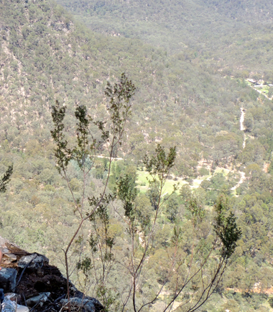
Campground Point
Was named by Yuri Bolotin on a Bush Club walk on 2nd October 2015, when he led a walk along Skywalker Traverse on Old Baldy above Newnes. This point had a protruding rock platform giving views of the valley and Little Capertee Creek Camping Ground below. Above Campground Point raising in a north west direction is a steep narrow defile, 400m in length, variable depth of 80m and width 10-20m. Yuri so named as Campground Defile.

Canobla Creek
*
Is a non perennial stream rising east of Point Nicholson. It flows generally north east for about 9km into the Capertee River.
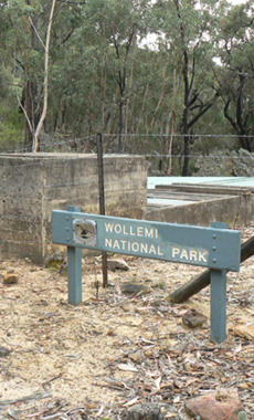
Canobla Gap
*
Is a saddle between Mount Canobla and Point Anderson. Canobla Gap Trail passes through Canobla Gap from the Glen Davis Road, GR 356 318 to The Gullies Road, GR 321 315.
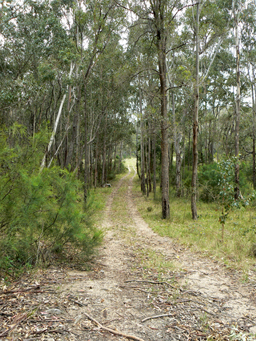
Canobla Gap Trail
Passes through Canobla Gap (where the pressure reducing station is located) from the Glen Davis Road, to The Gullies Road.
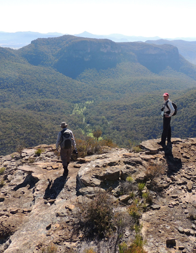
Canobla Point
Is located 1.4km due east of Point Anderson and 2.8km south east of Mount Canobla. Named by Michael Keats, Yuri Bolotin and Brian Fox on a Bush Club walk 16 May 2014, when our group reached a location on Canobla point, at 408 282. Michael records,“Here we stood on the cliff edge with 200m drop. The view is totally glorious, ranging from the western end with skyline profile of Point Anderson, to the twin peak of Mount Canobla, then the irregular profile of Mount Gundangaroo, with Tayan Pic behind, the brilliant green sward of Canobla Creek valley”. Also located on this point is an old (over 120 years) Mineral Lease survey mark.
Canobla View
At GR 408 282 is a most breathtaking view above a 200m drop. The view is totally glorious, ranging from the western end with skyline profile of Point Anderson, to the twin peak of Mount Canobla, then the irregular profile of Mount Gundangaroo, with Tayan Pic behind, the brilliant green sward of Canobla Creek. Jointly named by Brian Fox and Yuri Bolotin on a Bush Club walk 16 May 2014.
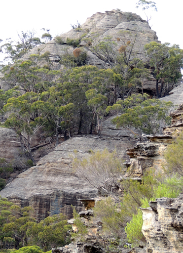
Cape Horn
*
Is the eastern most bluff of the cliffs of the Great Dividing Range between the Wolgan Gap and McLeans Pass. It has the tributaries of Barton Creek on the north and the tributaries of Wolgan River on the south. Shown on both Cullen Bullen and Ben Bullen Topo Maps at easting 325. Cape Horn was possibly named in connection with John Dunmore Lang, the Scottish minister who encouraged 140 Scottish tradespeople and families to immigrate to NSW. Many ended up in the CaperteeValley. Lang, who had arrived in Sydney in 1823, made two trips back to England via Cape Horn. On one occasion he recorded icebergs as triangular in shape, 300ft high and "magnificent a phenomenon". No doubt, the rocky sandstone pagodas reminded him of the icebergs at Cape Horn. He also named his youngest son John Cape Horn Lang. Ref: The Maitland Mercury, 3rd October 1849, p. 3, death of John Cape Horn Lang, and Lang, John. An Historical and Statistical Account of New South Wales, 1833.
Cape Horn Lookout
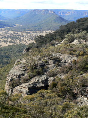
1020m, at Cape Horn. Access is 11.1km from Wolgan Road via Long Swamp Road, The Bicentennial National Trail and Cape Horn Trail. From this cliff based vantage point, a bird's eye view is gained over the Wolgan Valley, having Cape Horn in the foreground and Donkey Mountain in the background. Ref: Shown on the map Proposed Recreation Use, Wolgan SF, Ben Bullen SF, Newnes Plateau. Gardens of Stone Stage 2 Reserve Proposal. The Blue Mountains Conservation Society and Colong Foundation for Wilderness, January 2009.
Cape Pinnacle
*
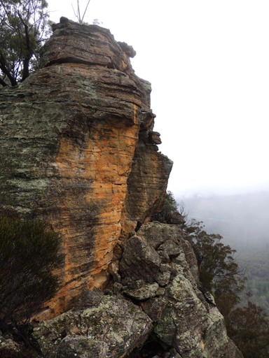
Is a pinnacle about 3km south east of Cape Horn and about 5km north east of Wolgan Gap Trig Station. The word'cape' is associated with the name as in Cape Horn, in this instance being a projecting cliff line stretching north and overlooking the Wolgan River. The column of rock or pinnacle is located near the end of this cliff line.
Capertee
*
Is a small village, located on the crest of the Great Dividing Range about 800m above sea level, 200km from Sydney. The Castlereagh Highway links the village to Lithgow in the south and Mudgee to the north. Capertee was proclaimed a village on 4th October 1890. Ref: Government Gazette. Previously the locality was known as Capertee Camp. Ref: Application for the Establishment of a Public School, 1881 at Capertee Camp. The Capertee Railway Station was opened on 15th May 1882. Regular services ceased on 1st September 1993. Capertee Public School was opened in April 1882. The name Capertee was recorded as part of the description of the County of Roxburgh in The Sydney Gazette, 17th October 1829, p. 1 as "Head of the Capertee Rivulet". Capita River (named by William Lee, later Sir John Jamison's property) is shown on Peter Ogilvie's survey of Capita and Umbiella Creek, 31st January 1830. Ref: State Records, Surveyor Generals Maps, 2509. This aboriginal name according to Helen Riley, Wiradjuri Elder and Sharon Riley, Wiradjuri representative is a people clan name, and was originally, Capita. Ref: Oral history 3rd May 2016.