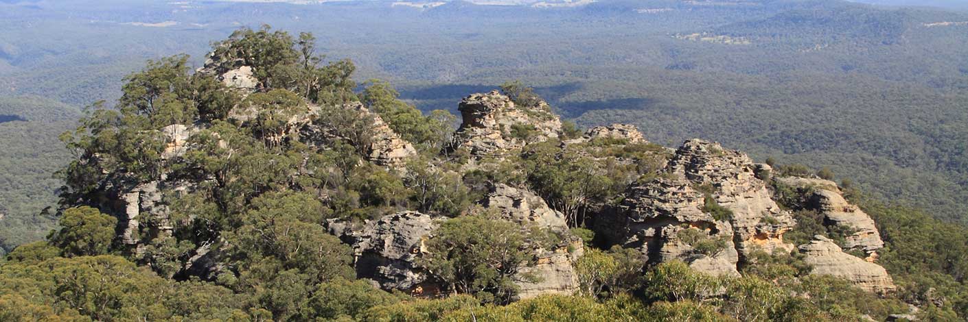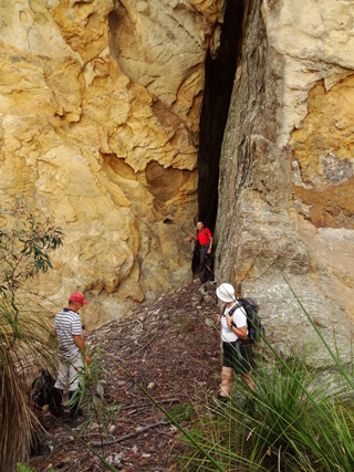
See Cleopatras Needle.
See Cleopatras Needle.
Is the locality name and suburb of Lithgow City Council. According to Danny Whitty, an Aboriginal descendent of the Wywandy tribe, Marrangaroo is a combination of two words, one for Emu and one for Kangaroo. Ref: Personal correspondence, Danny Whitty to Michael Keats, November 2009. Wendy Lewis, legally recognised as a traditional owner of Wiradyuri lands, in her correspondence of 8th April 2010 records, Marrangaroo as an Aboriginal word meaning good magpie. However according to Helen Riley, Wiradjuri Elder and Sharon Riley, Wiradjuri representative, the aboriginal name means, Little Black Ant. Ref: Oral history 3rd May 2016.
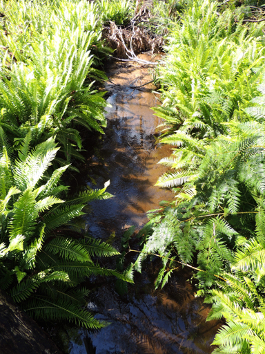
Is a watercourse rising on the State Mine Gully Road, half way between State Mine Gully and Bungleboori Camping Ground about 3km west, north west of Happy Valley Springs. It flows generally west and south for about 16km through the suburb of Marrangaroo into the Coxs River.
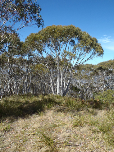
Follows the Coxs River from the Great Western Highway at Wallerawang to the headwaters of Lake Lyell. Created in February 2007, it covers an area of 1,671 hectares. Its highest point is Mount Walker at 1189m.
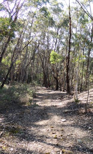
Extends from the Blue Mountains Range near the junction of Blackfellows Hand Trail and Beecroft Firetrail and trends in a south west direction for 7km towards the Great Western Highway.
Is not an approved name, nor is it a local name. Conrad Martens drew sketches of Blackmans Crown and entitled one sketch "The Crown from the Inn 13th Dec 74" (1874). In December 1874, Conrad Martens(1801-1878), one of the colony's best known painters of the time, spent about a week at the Crown Ridge Inn, Capertee. He sketched a number of the area's most spectacular views and later converted at least one into a watercolour. Ref: Jefferys, Bruce. The Story of Capertee, 1982, p. 5 and 10.
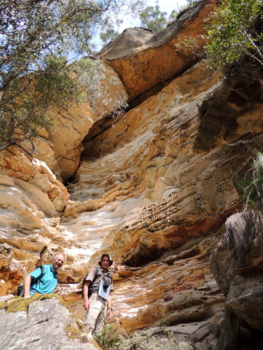
Is located on the southern side, at the base of the cliff line about midway along Donkey Mountain. Named by Yuri Bolotin on a bush walk 5th December 2016. Yuri recorded,“It is over 50m high by 30m long and consists of multiple parallel bands several metres thick, each of them in turn has dozens of thinner plates that display infinite variety of weathering patterns and an astonishing multitude of colours – all shades of browns, greys, yellows, oranges, and whites – all theatrically lit by the sun. This nature’s masterpiece took my breath away.”
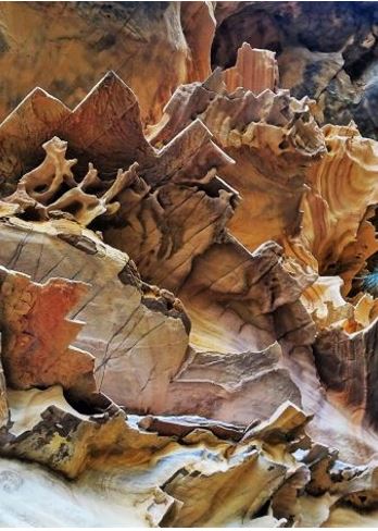
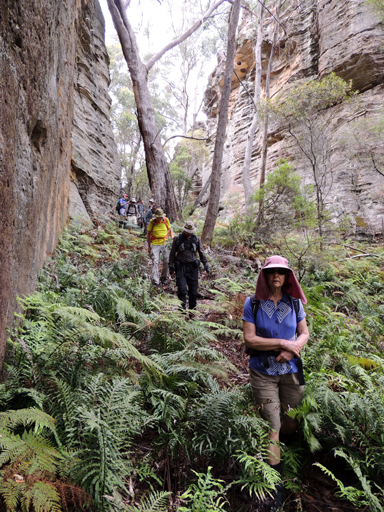
Also see Mount McLean. A pass leading out of Wolgan Valley up to Mount McLean. McLeans Pass divides the watersheds of Barton Creek on the east flowing into the Wolgan Valley from Crown Creek on the north flowing into the Capertee Valley. Walking access is via Baal Bone Gap. Shown on the map Parish of Ben Bullen, 1885. John McLean (1790-1876), born in Lynedale, Isle of Skye, Scotland, married Marion (1807-1889) in 1825. John, Marion and daughter Marion, sons George, Alexander and Donald and their nurse Marionne Stewart arrived in Sydney on the 12th December 1837. They proceeded to the Capertee Valley, where he took over John McLean's (his brother in law) property known as Warrangee. The McLeans had 6 daughters and 6 sons. Ref: Coxon, Betty. Not Lost but Gone Before. A Family History of the McLeans of Capertee, 1999. The SMH, 15th April 1845, p. 3, records John McLean's 300ac property Warrangee. On the death of James Walker of Wallerawang, John McLean leased his property called Wolgan and purchased all the stock thereon. John McLean cut a pass through the mountains which separated the Capertee and Wolgan Valleys, hence giving an access to both his properties. At one stage, the McLeans via freehold or lease were the major landowners in the region and John became the undisputed "Lord of Capertee". Ref: Palmer, Freda and Scurrah, F L. Tour of Rylstone and Capertee Valleys, 1969, Pt: 2, pp. 4-7. This "cut" pass, referred to above, is most likely Hughes Defile and is located on the Ben Bullen Topo Map, GR 326 210.
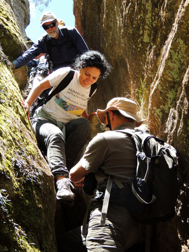
Is a short cut exit route to Airly Gap midway between the communication tower and Airly Turret plus access to the bottom end of Airly Turret Slot. Referred to by this name by Peter Medbury on a Bush Club walk, 16th November 2015.
Is an overhang 2.1km north, north west of Newnes. Above the cliff line of Little Capertee Creek. Graeme Melville used this cave on one of his bushwalks and passed the information onto Michael Keats for his walk on the 27th June 2009.
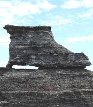
See Poseidon Arena.
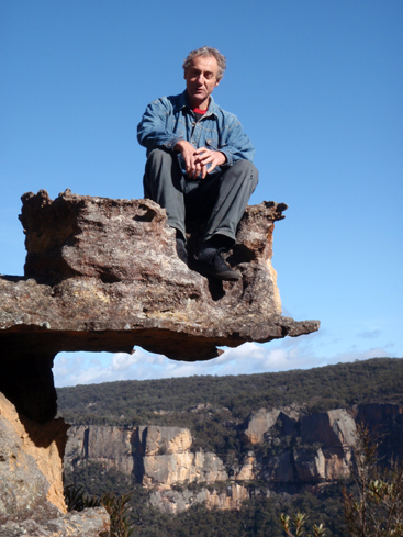
Is part of a pagoda 750m west of the road intersection of Glowworm Tunnel Road and Firetrail No. 7. This is an unusually shaped section of rocky shelf which, when sat on and viewed from a certain direction, appears to be suspended in space. Named by Michael Keats on his Bush Club walk, 21st September 2007.
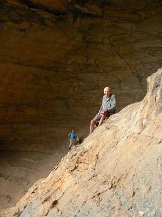
Also see Gemini Cave which is located below the main cliff line, 200m north of the western end of Firetrail No. 7 via Glowworm Tunnel Road. It is a large overhang separated by a natural buttress, forming two distinct chambers. Dimensionally, these hollows are as follows: the smaller one is 3m wide, 10m high and 11m deep with a 40 degree climbable entry slope; the larger one is 17m wide, 20m high and 20m deep with a 45 degree climbable entry slope. Named by Michael Keats on a Bush Club walk on 16th January 2012."The ceilings, again an inadequate word, are works of art, being a palette of colours with the embedded tracery of complex, three dimensional ironstone banding. As works of art, they rival the Sistine Chapel and the work of Michelangelo."
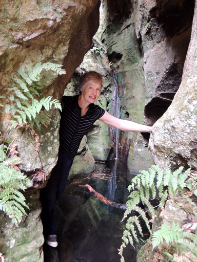
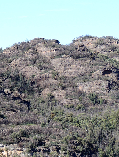
Is a series of jagged peaks likened to the feature, Western Arthurs in south west Tasmania, except on a very small scale. Located 3km south east from the barrier at the end of Waratah Ridge Road. Named as such prior to 1990.

Is located 640m east south east of Goochs Crater. Similar surrounding cliffs and green carpeted vegetation at its base, but on a smaller scale. Named by Brian Fox when exploring with his brother John after the October 2013 fires on the 17th March 2014.
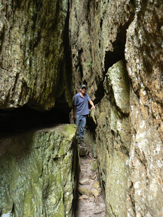
Refers to the long, deep, narrow crevice at Deep Pass. Named by Graham Condon (member of The Bush Club). When he visited Deep Pass on 15th December 2004, he had just returned from Standley Chasm, Alice Springs and reflected on the similarity of the two. However he was not the first to record this likeness. Daniel, G and Lord, S. Bushwalks in the Sydney Region, 1993, Vol. 2; p. 62, records this, "a miniature Standley chasm." Also simple known as, The Slot. Ref: Olive Noble's tracknotes from Woody Pear Walking Group, November 1993.
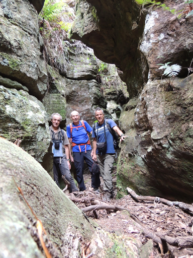
Is a canyon located in an unnamed creek system that flows generally east into the western side of the Wolgan River, 1.7km south, south west of junction of Zobels Gully and Wolgan River. Access via Wolgan Road, 3km south of Newnes. In Greek mythology, the Minotaur was a creature with the head of a bull on the body of a man. He dwelt at the centre of the Cretan Labyrinth, which was an elaborate maze like construction. Named by Michael Keats on a Bush Club walk, 21st July 2010. Described by Michael as, "It is labyrinthine, it is mysterious, it is serpentine, it is long and it is varied; it is a special place." Previously known as Bell Miner Canyon, so named by Andrew Valja due to the Bellbirds in this vicinity, May 2002.
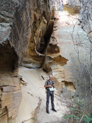
This gully has its headwaters on north eastern side of Koopartoo Mesa and generally flows in an easterly direction for 2.5km to join the Wolgan River 300m south of Zobels Gully junction. Within the gully is the feature known as Minotaur Lair, and overlooking this gully on the southern side is Minotaur Watch and Minotaur Point. Name coined by Yuri Bolotin on a Bush Club walk, 10th September 2016.
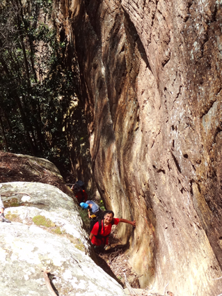
Allows access from the southern end of Minotaur Lair up to the top of the escarpment, into the area known as Koopartoo Mesa. Located on the southern side of Koopartoo Gully 1.6km south west of the Wolgan River / Zobels Gully junction. This allows a circuit walk along the top pagodas and return via the canyon known as Minotaur Lair. Named by Yuri Bolotin, Michael Keats and Brian Fox on a Bush Club walk, 7th October 2016.
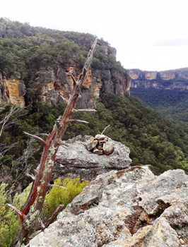
Is located at the north eastern end of Koopartoo Mesa, 900m south west of Wolgan River and Zobels Gully junction. This view point gives views north into the Wolgan Valley and across to the eastern cliff line. Named by Yuri Bolotin on a Bush Club walk, 10th September 2016. So named in keeping with the Minotaur related names in this vicinity.
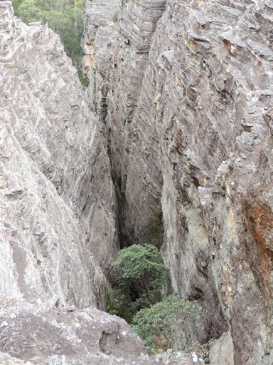
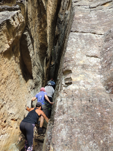
Is a creek system on the eastern side of Derailment Hill discharging into Dingo Creek. It flows generally in a south east direction for 2.5km. Named by Michael Keats on his Bush Club walk, 31st October 2007. So named after the Aboriginal Gundungurra word "what".
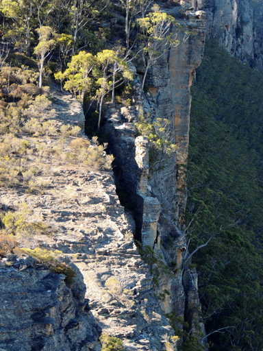
Was named by Emanuel Conomos on the 3rd November 2013. He was on a reconnaissance walk for the Blue Mountains Conservation Society. When he saw this slot from the top of the cliff line, he said, " it would be a miracle if it goes. " This pass gives access from the top of the cliff line (200m south of the end of Firetrail No. 7, which in turn is off Glowworm Tunnel Road) to Carne Creek.
Is located off the Glowworm Tunnel Road and near the end of Firetrail No. 7. A scooped out cave some 40m across by 20m high just around the corner from the Weather Cave. This overhang was surveyed by Ross Ellis and Erik Halbert on 18th October 2006. Ref: The Journal of the Sydney Speleological Society, 2007, 51 (5); pp.134 -138.
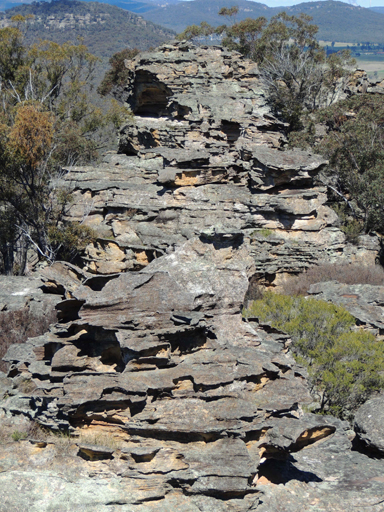
Are located 2.75km north of Gardiners Hill and 1km west of Rowans Hole. Named afte rthe Moffitts (see Moffitts Trail ). When entering Moffitts Pagodas, you walk through a level encirculed rock walled area.It was named the Ceremonial Room by Michael Keats on a Bush Club walk 14th July 2010, due to the feeling that Aboriginal initiations could have taken place here. On the north west end of Moffitts Pagodas, there is a large isolated rocky pagoda, known as The Boss GR 249 207.
Joins Hutchinson Road at GR 224 215, 1km north of Ben Bullen. General direction is east and joins Baal Bone Creek Road and 900m south of Baal Bone Gap. Named after Joyce Grace (28.11.1930 - 31.7.1999) and Vern Busby 20.3.1924 - 15.9.2001) Moffitt, who were environmentalists associated with the protection of the Gardens of Stone National Park. Name proposed by the National Parks and Wildlife Service, January 2007. Note: The Topo Map incorrectly shows the wrong spelling of Moffitts Trail as Moffits Trail. New NPWS signage placed, c 2014, shows along with old signage Moffitts Trail, the name, Ben Bullen Trail.
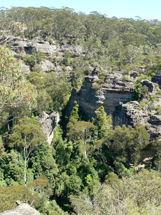
Is a mostly perennial creek rising on the Darling Causeway about 2.5km north west of Bell. It flows generally south west for about 3.5km into Dargans Creek. The early explorers mistook the Koala for some type of Monkey, hence the name. Another possibility for this name is that it was given by timber cutters, who referred to Eucalyptus cypellocarpaas Monkey Gum. This species was prevalent in the creek that bears this name.
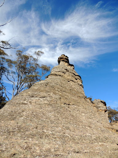
Is a tall, thin, isolated pagoda located in Ben Bullen State Forest. 700m north, north west of the junction of the Great Dividing Range and Ben Bullen Range. Named by Yuri Bolotin on 14th December 2012, because when someone stands on this prominent rock, it becomes that person's monument for a short time.
Is located at 1000m, midway between the Dumbano Tunnels and Cesspit Creek. Named by Peter Fox on one of his National Parks Association walks in the 1990s after fellow walker Diane More.
A lands administration division within the County of Roxburgh, Land District of Rylstone. Morundurey is shown on Peter Ogilvie's survey of Capita River and Umbiella Creek, 31st January 1830. Ref: State Records Surveyor Generals Maps, 2509. The name later became the Parish name for this district. Monundurey is also a lapsed name for Genowlan Mountain.
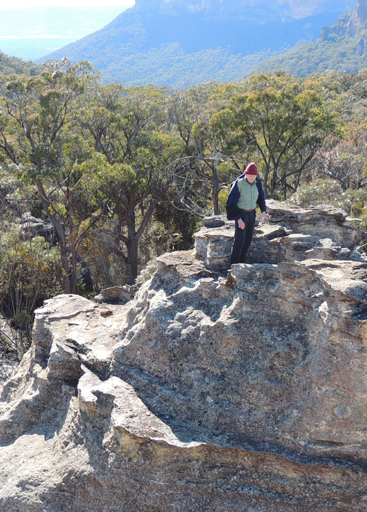
Is 1.4km west of the locality of Town of Airly and 1.5km north of Glen Davis Road. Also see Airly.
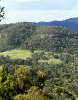
Is a flat topped mountain 2.2km south east of Capertee. The name Alloway Bank was the property name of Captain John Piper (1773-1851), whose main residence was in Bathurst. He also held grazing rights in this area of Alloway Creek. Ref: Fry, Ken. Beyond the Barrier, 1993, p. 118, records, Captain John Piper “excelled in hospitality and social graces. His door was always open to guests and visitors of his class.” John Piper was an early Magistrate and hence held in high honour and esteem. Alloway was named after the Alloway in Ayrshire, Scotland. Captain John Piper was born in Maybole, Ayrshire. Ref: Eldershaw, M. Bernard, The Life and Times of Captain John Piper, 1973, p. 126.
Is the highest point on the Newnes Plateau and in the Greater Blue Mountains National Park. Located 700m south west of the road intersection of State Mine Gully Road, Old Bells Line of Road and the Glowworm Tunnel Road. It has a height of 1189.4m. In 2011, Richard Delaney was surveying for the highest point with Andy Macqueen. Richard’s 5 year old son Ben Delaney accompanied them. Named by Andy Macqueen, who recorded,“Given Ben's quiet patience, it seemed logical to me to reward him by appending his name to the high point.” Ref: Blue Mountains History Journal, issue 3, October 2012, p. 17. .
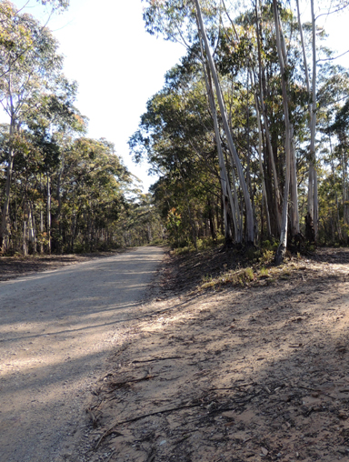
Is the highest point on the Newnes Plateau and in the Greater Blue Mountains National Park. Located 700m south west of the road intersection of State Mine Gully Road, Old Bells Line of Road and the GlowwormTunnel Road. It has a height of 1189.4m. In 2011, Richard Delaney was surveying for the highest point with Andy Macqueen. Richard's 5 year old son Ben Delaney accompanied them. Named by Andy Macqueen, who recorded, "Given Ben's quiet patience, it seemed logical to me to reward him by appending his name to the high point." Ref: Blue Mountains History Journal,issue 3, October 2012, p. 17.
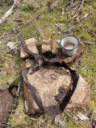
Is a hill, 1030m, located between Rocky Creek and Budgary Creek. 2.2km north west of the barrier, Mount Cameron Trail at Natural Bridge.
Mount Budgary, Mount Budgary Plateau
Encompasses the area surrounding Mount Budgary and enclosed by Rocky Creek and Budgary Creeks. The name has been coined by Michael Keats on 5th August 2009 when describing the walking passes he named after Moths in this area. A hut known as Budgary Hut, possibly an itinerant's, used to be located on the south east side of Mount Budgary. The name Budgary first appears on the Parish Map, 1890.The name is a corruption of the word, "buggery" and would have been a description of the terrain, being an absolute "bugger". John Norris and two brothers, Alan May and Russell (Russ) Alfred May (1926-2010), walked this area in the late 1940s. They referred to the names Buggery Creek and Mount Buggery. Mount Norris is named after John. Ref: Correspondence with David Warren Noble,14th October 2009.
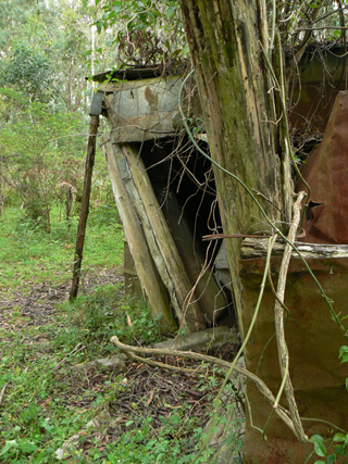
Is a large domed mass of olivine basalt about 4km north of Rock Hill and about 7km east, north east of Mount Budgary. John Cameron applied for Conditional Lease of Portions 2, 3 and 11 bounded by the Wolgan River and near the junction of Annie Rowan Creek, in 1892. This total area of 250ac was confirmed on 31st May 1893. In 1921, he also took out a Special Lease in this area for grazing, which he held until 1928. Ref: Survey Plan 1930, 1931 and 1932.1507. Parish Map of Rock Hill; County of Cook, 1883 has the text added, "Cameron's Old Track", this text does not occur in later editions. Mount Cameron is shown on the map Parish of Wolgan, 1884. The Survey Plan C1810.1507, dated 8th November 1890, describes Mount Cameron as, " The greater part of the area varies strikingly from the adjacent country, it appears to have resulted from volcanic agency and comprises rich soil clothed luxuriantly with good grass." Landowners were Joseph George Beecroft, William Charles Wallace, Henry Coventy Wallace and David William Wallace, from 1903 to 1926. It was then held by Vida Harris Jones till her death and subsequently passed onto her daughter Vidie Harris Clark, who held it till 1969. Ref: Conditional Purchase Lease Cards and Certificate of Title Vol. 3928, Fol. 80. On the 30th May 1947, this area was proclaimed a Bird and Animal Sanctuary. It is now part of the Wollemi National Park. James (Jim) Bird held a lease over the property for about five years in the 1960s. Ref: Dick Bird's son, correspondence of 29th January 2010. Other lease holders after the Birds included Herbie McAndrew and Kelvin Gale. Ref: Danny Whitty, 19th February 2010.
Encompasses the area above the cliff line and above the Wolgan River in the north, above Rocky Creek in the west, Annie Rowan Creek in the east and Nayook Creek in the south. Michael Keats referred to this area on a Bush Club walk, 2nd October 2007.
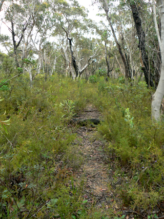
Extends in a north east direction from Eastern Boundary Road, GR 451 063, near Cockatoo Hill Trig Station, crossing Dinner Gully and the Natural Bridge and finishing on the north west side of Mount Cameron. Vehicular access is only for the first 5.7km.
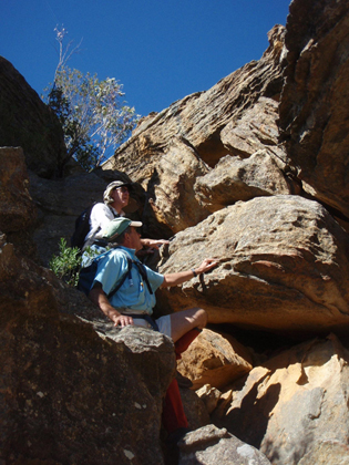
Has a height of 830m, located about 3km south west of Mount Gundangaroo. Mount Canobla,Canobla Creek and Canobla Gap are shown on the map Parish of Gindantherie,1892. The Sydney Gazette and New South Wales Advertiser, 19th January 1832, p. 3 records,"the three lofty peaks are more familiarly called, the Canobalas, elevate their summits almost to the clouds." Canobla most likely was derived from the name Canobolas, an Aboriginal word describing the shape of the mountain near Orange, NSW. Mount Canobolas was originally known as Canoblas and it is the highest peak in the Central West of NSW. Ref: The Maitland Mercury, 26th July 1851, p.4. The early pioneers such as John Blackman and the Dulhunty brothers, who came from the Orange and Dubbo districts, could associate Mount Canobolas as being the dominant landform in their district. Canobla was also a property name within the Capertee Valley. Ref: Glen Alice SchoolCentenary 1884-1984, p. 23.
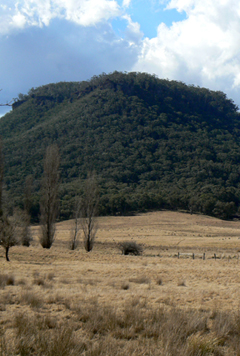
Also see Clarence. Located about 5km east, south east of Lithgow. It has Blackmans Creek on the west and Reedy Creek on the east. Clarence Trig Station 1174m is on its summit.
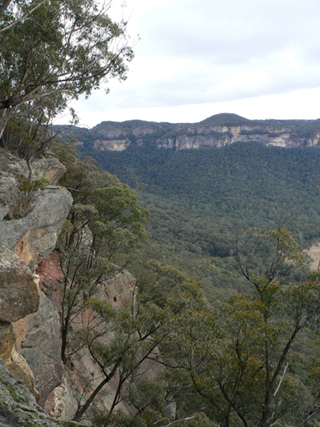
Is the highest point on the mesa between Blue Rock Gap and McLeans Pass, 2.6km north east of Baal Bone Gap. It is surmounted by Wolgan Trig Station that has a height of 1081m. A smaller hill on this same mesa is Mount Jamison. Shown on the map Parish of Wolgan, 1884. Palmer, Freda and Scurrah, F L. Tour of Rylstone and Capertee Valleys, 1969, Pt: 2, p. 1, records that Mount Davidson was named after Surveyor Walker Rennie Davidson, who surveyed the township for Rylstone in 1842. Another version is that it is named after Murray and Catherine (1852-1882) (nee McLean) Davidson, who at a land sale in Rylstone on the 11th September 1878 purchased Portion 160, Parish of Goolloinboin, County of Cook. Ref: Survey Plan 675.1507. They also purchased Lots 33 and 34 in April 1879. Ref: Survey Plan 144.1507. Also recorded in NSW Government Gazette, 11th September 1875. Murray Davidson had designed the church at Glen Alice.
Is a prominence on a mesa 5km south west of Newnes.To the east, are the tributaries of Capertee Creek, to the south, Barton Creek, and to the west, Red Rock Creek. Shown on the map Parish of Goollooinboin, 1884. Possibly named after T. J. Dawson, who purchased 4000ac from Sir John Jamison. Name recorded on the Survey Plan 224.1507, dated 1866, but sale was prior to this date. Another contender for this name is Jessie Dawson, who in 1874 purchased land fronting Coco Creek as well as Portion 6, Parish of Coco, County of Cook, in 1899. Ref: Survey Plan 2778.1496. The licensed surveyor for this plan was James Dawson.