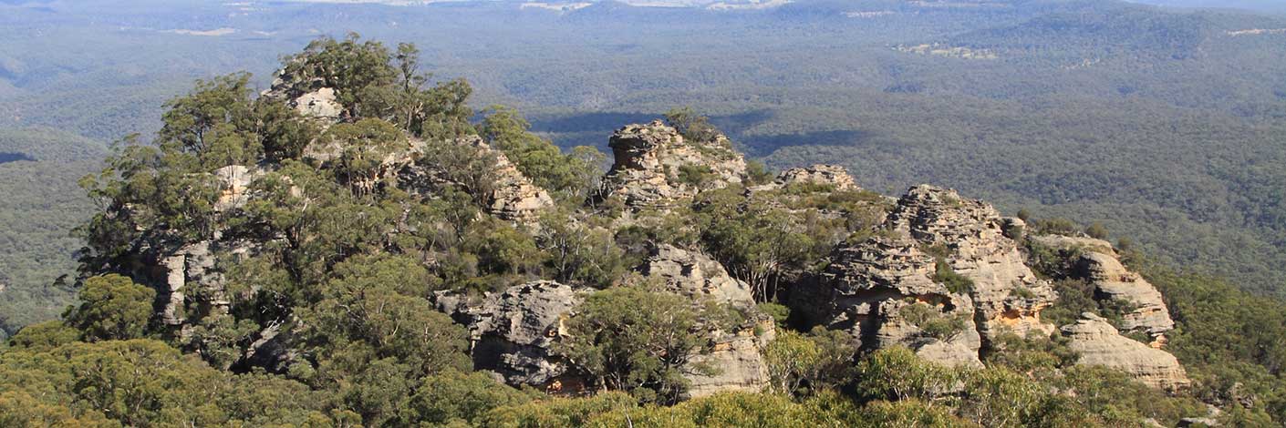
Is an old local usage name referring to Sunnyside Ridge in the vicinity of Birds Rock Trig Station. So named as the trees were tall, thin and closely spaced together, likened to wheat in a paddock. Name in use in the 1940s. Ref: Correspondence with Joe Bird, 6th February 2010, whose father Jim cut logs in this area.
Bush Explorers Encyclopaedia
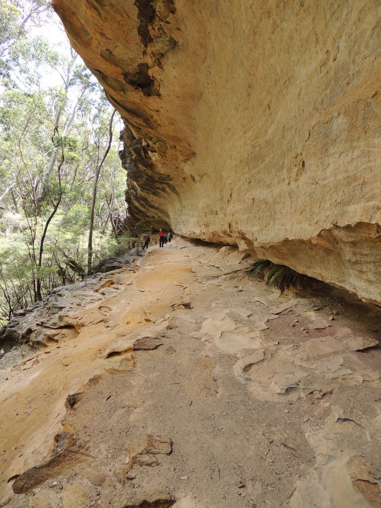
Is located 100m north east of the locked gate on the Pagoda Track and 700m north east of the Glowworm Tunnel, Newnes Plateau. This 85m long overhang has a dry elevated floor and its southern extremity features an almost spherical cavern. In the centre is a small string waterfall that drops down from a slotted keyhole in the domed roof. Quite by accident, it was discovered that this is a whispering wall, so a quietly spoken comment at one end can be clearly heard at the other. Named by Michael Keats and Brian Fox on a Bush Club walk, 2nd January 2017.
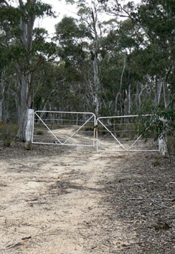
Is a 4WD track, 2.4km in length. It joins Castlereagh Highway 2.8km south of Ben Bullen and Moffitts Trail. The majority of the southern part of this trail is on private property.
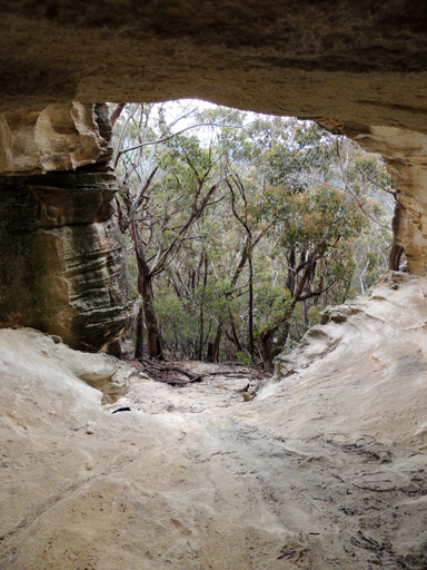
Is a cave that was used by the Aboriginal people, 8m wide, 5m depth and 8m high. It is located on the eastern side and near the top of the hill above Cullen Bullen township. So named by the locals as they carried back the white ochre to white wash their houses. Ref: Elaine (Lucy) Devigne, oral history recorded 20th September 2012, she recalled her father doing just that, he had known this cave by its name from 1947. At present, there is no evidence of Aboriginal usage.
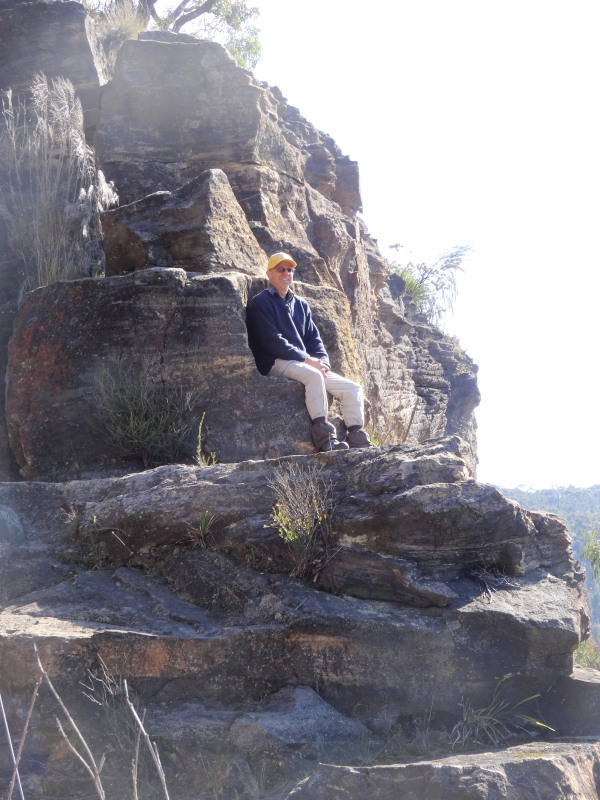
Carved rock in the shape of a chair, western end of the Zig Zag railway viaduct.
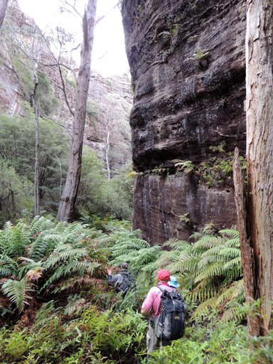
Has within it the features Dome Cave, Pinch Point Circle and is overlooked by Tagine Point. Its headwaters are 2km south, south east of Birds Rock Trig. It flows generally in an eastward direction for 1.9km to its junction with Carne Creek. Named by Yuri Bolotin, 16th May 2013.
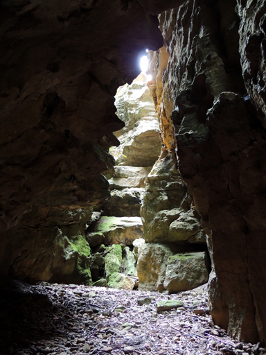
Comprises three slots on the eastern side of Deception Canyon, 700m west, north west of of the Glowworm Tunnel car park. It appears as that there is no walking access to the canyon floor. There appears to be a very large overhang under the southern wall. Named by Yuri Bolotin on a Bush Club walk, 10th January 2014.
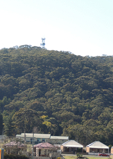
Is a spur line that trends in a north south direction from midway between Hartley Trig and Browns Gap to Braceys Lookout having the road Norm Henry Drive along its spine. Named after Thomas Talbot Wilton (1834-1911). General Manager of the Lithgow Valley Colliery 1872-1911. Wilton also owned land in this area. Ref: Democrat 7th August 1915, p. 13. Lithgow Mercury, 8th October 1915, p. 6.
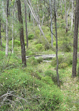
Is a non perennial creek rising on the southern side of Glen Davis Road 4km south east of Mount Airly. It flows generally south east and south, south west for about 4km into Airly Creek. This was either a name relating to the mining era (winding up a bucket of ore), or it may be a descriptive name given to a narrow pinch of land (ridge line) which was needed to access this isolated 40ac parcel of land applied for by Murray Davidson on the 20th February 1879. Ref: Survey Plan 1674.1496. Shown on the map Parish of Coco, County of Roxburgh, 1883.
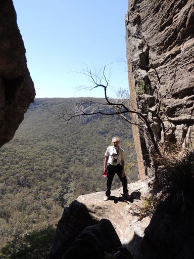
Is a 2.6km non perennial watercourse that has its headwaters 1.1km north east of Birds Rock Trig and flows north, north east into Carne Creek. At the point where this creek flows over the cliff line, the rock formation is likened to a window frame about 50m below the top of the cliff line and about 150m above the base of the cliffs below. This name was coined by Brian Fox and Michael Keats on a Bush Club walk, 10th October 2013.
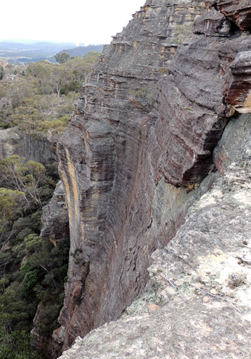
Is a cliff top window view looking down a 50m vertical drop. Located 1.1km south east of Beecroft Trig Station. Named by Brian Fox on a Bush Club walk, 30th May 2014. Brian's immediate thought was that it gave the similarity to an infinity pool.

Is a balcony window view looking down a 50m vertical drop. Named by Daryl Watson on a Bush Club walk, 11th April 2014. Located 1.6km north west of road junctions, Angus Place Trail and Beecroft Firetrail.
Is a narrow, north west facing, cliff lined section of unnamed creek which flows into Rocky Creek 3.5km north west of Mount Cameron. Ref: Correspondence with Danny Whitty, 3rd July 2010.
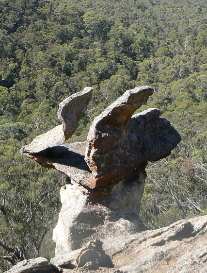
See Poseidon Arena.
Is the exit from The Dungeon as it involves a crawl through a tunnel that discharges into a dry gully. Named by Yuri Bolotin 29th August 2015.

is a slot about 50 m high, 80 m long and 1/2m wide, named by Harold Thompson on a bushwalk, 25 September 2015 in keeping with the theme of Hecates Cauldron.
Is a lookout overlooking Hecates Cauldron above Pandoras Ravine. Named by Yuri in keeping with the Macbeth inspired naming theme. Peculiarly shaped shards of ironstone including a natural collar are regarded as witches" accoutrements.

Is a mythical beast and this natural rocky gargoyle framed against the sky as viewed from below Tara Slot is within Hecates Cauldron. Named by Michael Keats on a Bush Club walk, 25th September 2015.
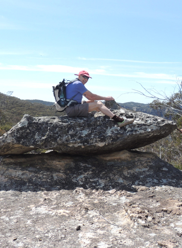
Is located on the spine of the Wolgan – Capertee Divide, between Mount McLean and Mount Jamison. So named by Brian Fox on a Bush Club walk, 30th September 2013 as the rock resembles a Wobbegong Shark.
Is now referred to by the Geographical Names Board as a, "Rural Place". It is located in the vicinity of the old Wolgan Homestead and present Emirates Wolgan Valley Resort. The planned Village of Wolgan was located on the level ground, southern side of Wolgan Road and western side of Mount Wolgan. Ben Bullen Topo Map, GR 359 186. At Wolgan, two acres were set aside for a public school on 20th September 1871. Ref: Survey Plan 143-1978. A church, manse and cemetery were approved on 9th February 1874. Ref: Survey Plan372-1984. Adjoining this area to the south was an area reserved for residential or business purposes, 8th February 1894. Wolgan was the chosen Aboriginal name of James Walker's outstation (homestead), c1825. It was this name which gave Wolgan Valley its name. Ref: Survey Plan B4.691r, dated 3rd January 1831. Stevens, Wade. Wolgan Valley Selected Climbing Areas, 2001, p. 37. Records,"reportedly the native name for its site at the confluence of the Wolgan River and Carne Creek ." Also see Mount Wolgan.
According to Isabella Gertrude (Gert) Poyitt, who was a school teacher in the Wolgan Valley in the 1920’s the name Wolgan came from the local aboriginal word, ‘wolga’, the name for the Australian Clematis,Clematis aristata, a vine that is fairly common in the valley.
Helen Riley, Wiradjuri Elder and Sharon Riley, Wiradjuri representative, also record the word Wolgan, is named after the native plant Clematis aristate. Ref: Oral history 3rd May 2016.
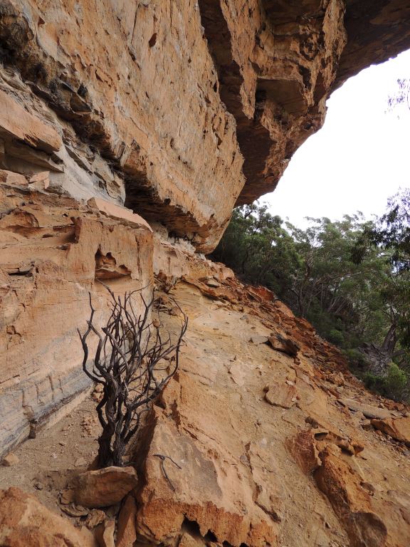
Is a 1km ledge between two cliff lines above the Wolgan River and above the Wolgan Valley railway alignment, 1.1km north, north west of the Glowworm Tunnel. The ledge offers extensive views of the Wolgan Valley and Donkey Mountain. Named on a Bush Club Walk by Michael Keats, Yuri Bolotin and Brian Fox, 27th January 2017.
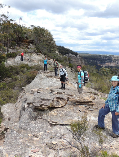
The higest ridge line that divides the Wolgan Valley from Capertee Valley.
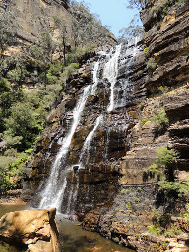
Mark the western end of the tight, winding canyon of the Wolgan River, as the waterfall flows over the cliff line into what is the start of the Wolgan Valley. Wolgan Falls are accessed via Blackfellows Hand Trail and Fire Trail No. 5 from the western side, or Fire Trail No. 7 from near the road junction of Sunnyside Ridge Road and Fire Trail No. 8 on the northern side. Best view of falls, GR 346 103.
See entry Woolpack Gap. Wolgan Gap was the previous name.
Wolgan Gap Ref: Parish of Wolgan 1905, 3rd ed; 1916, 4th; 1930, 5th editions and Carnes Geological Map Capertee and Wolgan Valley, 1901. It was not until the Ben Bullen Topo Map of 1974 that Woolpack Gap is shown and gazetted by the Geographical Names Board 20th June 1975. It quite obviously was renamed to avoid confusion with Wolgan Gap on the Wolgan Road as the entrance to the valley.
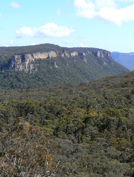
Is the break in the cliff line that provides road access to Newnes from Lidsdale. Before the present road descended down Wolgan Gap, the road was on the eastern side of this gap and that path was called Donkey Steps. It was used to bring in the first cattle prior to 1880. Ref: Joe Bird, past resident of the Wolgan Valley, oral history to Brian Fox, 17th June 2009. Survey Plan R587.1603r, dated 3rd March 1866. The Survey Plan 6-2062, dated October 1874, shows the road through "The Gap." The name Wolgan Gap is shown on the map Parish of Cox, 1884. The Sydney Morning Herald,14th July 1877, p. 3, records, "Road grant at Wolgan Gap, 250 pounds."
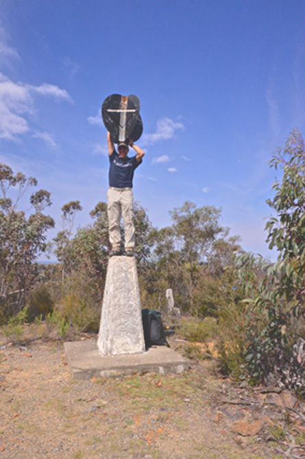
Height of 1078m, is located 1.5km near north of Wolgan Gap. Wolgan Gap Trig Station was established in October 1930 by Warrant Officer Hugh Powel Gough Clews, a surveyor from the Royal Australian Survey Corps.
Is located on top of the cliff line overlooking the Wolgan River and canyon, accessed via Fire Trail No. 5 off Blackfellows Hand Trail. Karen McLaughlin from the Blue Mountains Conservation Society recorded,"We named the lookout Gorge because for inexperienced bushwalkers it is a bit of a scramble to get a full view of the falls where as you can easily get magnificent views of the gorge." Ref: Correspondence from Karen on 30th November 2009. Shown on the map Proposed Recreation Use; Wolgan SF, Ben Bullen SF, Newnes Plateau. Gardens of Stone Stage 2 Reserve Proposal. The Blue Mountains Conservation Society and Colong Foundation for Wilderness, January 2009.
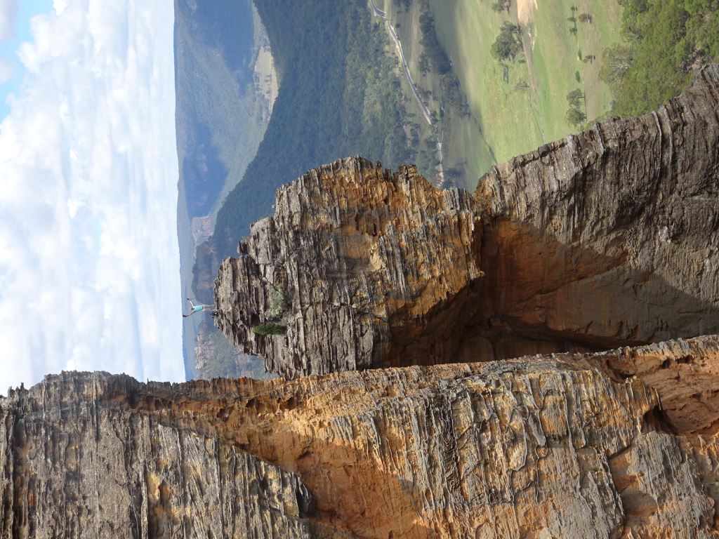
Is located on a western facing cliff line, 2.2km south, south east of Mount Dawson and 1.5km north, north east of thePenrose.This massive 110m high eroded residual is 30m below the top of the cliff line and the top 45m of this pinnacle is separated from the main cliff line by one to five metres. The views from this guardian rock give a line of sight right up the valley floor. Named by Yuri Bolotin and Brian Fox on a bush walk 6th January 2017.
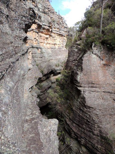
Are five compressed loops in a deep incised gorge, located immediately before the Wolgan River (Wolgan Falls) plunges over the cliff edge. Named by Michael Keats on a Bush Club walk, 9th January 2008.
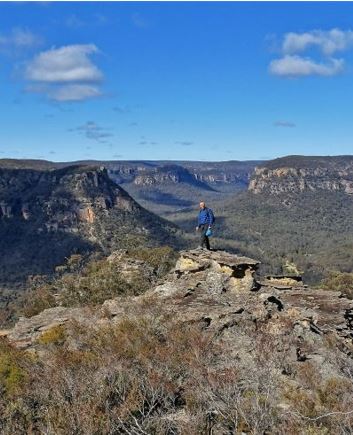
is a viewing point on the southern end of a spur line south west of Mount Tricky and 800 m north, north west of Little Capertee Camping Ground, Newnes. Located 300 m above the Wolgan River, this spot gives unprecedented panorama in front of you, assisted by the angle of viewing, as you look straight down the main, broad section of the Wolgan Valley and the expansive area where the river makes a 90 degree bend to the east. Named by Yuri Bolotin and Brian Fox on a bushwalk, 28 August 2017.
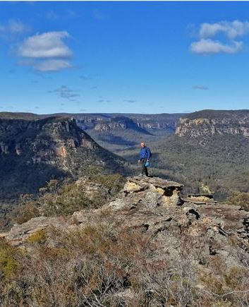
Is a viewing point on the southern end of a spur line south west of Mount Tricky and 800m north, north west of Little Capertee Camping Ground, Newnes. Located 300m above the Wolgan River this spot gives unprecedented openness of the panorama in front of you; and, secondly, it is the angle of viewing, as you look straight down the main, broad section of the Wolgan Valley and the expansive area where the river makes a 90 degree bend to the east. Named by Yuri Bolotin and Brian Fox on a Bush Club walk 28 August 2017.
Is located 800m due north of Wolgan View Lookout. This north south facing gully allows access from the western side of the Wolgan cliff line. Named by Michael Keats on a Bush Club walk, 16th February 2015.
Refers to huge hanging rock formations over 100m high, having outward curved as well as straight sides and just enough distance from the main rock face to be called Pillars. Located on the southern side of the Wolgan River, 2km north west of the junction with Annie Rowan Creek. So named by the rock climbing fraternity.
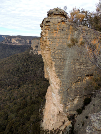
Is located on top of the cliff line, 4.5km west, north west of Deanes Siding. Access via Sunnyside Ridge Road and Fire Trail No. 7.
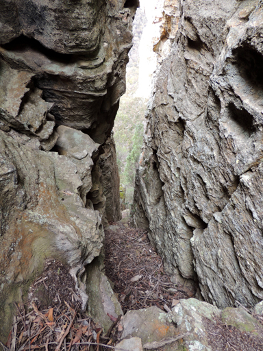
Is a natural pass on the northern side of Wolgan Pinnacle giving challenging access down to Carne Creek. The name was suggested by Michael Keats on his Bush Club walk, 27th December 2006. It is derived from the overpowering Wolgan Pinnacle nearby.
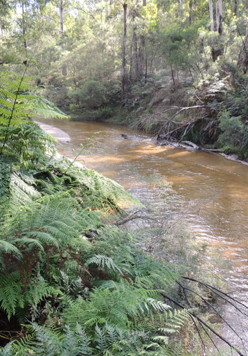
Is a watercourse about 64km long. It rises on the Blue Mountains Range 4.5km north west of Bungleboori and flows in a generally northerly direction towards Newnes, where it turns eastward to its junction with the Capertee River. Lithgow. The Wolgan River and Carne Creek join at the southern edge of the Ben Bullen Topo Map, GR 387 177. Previously, these two major drainage patterns were known as the Eastern and Western Branches of the Wolgan River. The Eastern Branch was renamed Carne Creek in 1970. Ref: Geographical Names Board notes, 5th March 1970. Shown as Wolgan River Western Branch and Wolgan River Eastern Branch on the map Parish of Wolgan, 1884. Surveyor Frederick Robert D'Arcy surveyed the Wolgan River from near present day Newnes downstream towards the junction with the Capertee River, July 1831. Ref: Surveyor General Letters received from surveyors, Reel No. 3060, Andrews, Alan E J. Major Mitchell's Map, 1834.
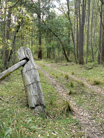
Starts at the locked gate on the southern side of the Wolgan River 1.2km south, south east of Newnes. It follows the Wolgan River for about 14km. This track was the original access to the holdings at Binnings Hole at the junction of Annie Rowan Creek.
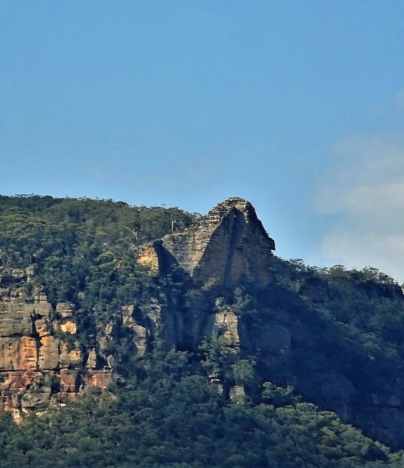
Is a most impressive buttress. When viewed from the Newnes side whilst driving the Wolgan Valley Road this rock juts out and dominates the cliff line. Located 900m south east of Collett Gap. Named by Yuri Bolotin on a Bush Club Walk 15th August 2016.
Local resident of Wolgan Valley, David Stafford records, “What you call Wolgan Rock we have always called The Sphinx due to its Sphinx like profile when viewed in certain light from the west (ie from our house).”
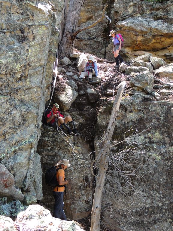
Gives walking access to Wolgan Rock, a significant geographical feature, from Wolgan Road opposite Donkey Mountain and 1.2km south east of Collett Gap to the Wolgan / Capertee Divide. Named by Yuri Bolotin and Brian Fox on a bush walk 16th January 2017.
Was Notified on the 25th May 1896. Located in the southern part of the Wolgan Valley below the cliff line; it covers an area of about 1200ha.
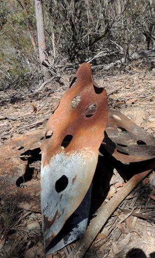
Is located on Mount Davidson, the highest point of the Wolgan - Capertee Divide, 1081m. Constructed on 8th April 1914. At present, it lays in ruins. Ref: Survey Plan 1508-3090.
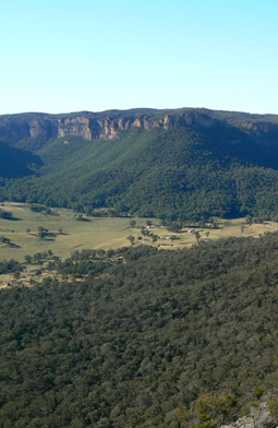
Is an enclosed valley that has only one road access via Lidsdale and Wolgan Gap. It was Campbell Mitchell, son of Sir Thomas Mitchell, who was the first to discover kerosene shale deposits in the Wolgan Valley and open up a mine in 1873. Ref: Carne, Joseph. The Kerosene Shale Deposits of New South Wales, 1903, p. 38.
Branched from the Main Western Line at Newnes Junction, GR 443 930, and terminated at Newnes, GR 424 258. Construction of the Wolgan Valley Railway of some 31 miles 50 chains (51km) from Clarence on the Great Western Railway line to Newnes commenced in November 1906 and was effectively completed in November 1907. The line ceased carrying rail traffic in 1937. Ref: Hicks, George and O'Brien, Dennis. Shays in the Valley. According to Bentley, James. Black Smoke. Blue Mountains, 1988, p. 77, the line finally closed in 1932. This private railway line was built to carry oil, wax, sulphate of ammonia, coke and other various products from the Commonwealth Oil Corporation's shale mine and refinery at Newnes to where it joined the Main Western Line at Newnes Junction. From here, products went on their way to Sydney or, in the case of the coke, to the Lithgow blast furnace. Ref: Bentley, James. Black Smoke. Blue Mountains and McKillop, Bob. Furnace, Fire and Forge, 2006, pp. 204-205.
See Nobles Canyon.
is located on top of the cliff line on the Great Dividing Range just off TheBicentennial National Trail, between Baal Bone Gap and Wolgan Gap. CullenBullen Topo Map, GR 298 149.
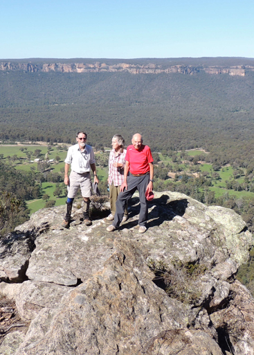
is one of the most impressive viewing points into the Wolgan Valley from the western cliff line. Jutting out from the surrounding cliff line, it gives a 270-degrees panorama. Located 1.4 km north, north east of the junction of the Long Swamp Road and The Bicentennial National Trail. Named by Brian Fox on a bushwalk, 21 April 2014.
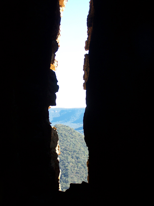
See Donkey Mountain, north east section
Is an Aboriginal word, the meaning unknown. It was first recorded on Surveyor General Sir Thomas Mitchell's Map of the Colony of New South Wales, 1834.
Is an amphitheatre 7km east of Newnes Junction on the northern side of Wollangambe River. Previously known as The Crater. Ref: Geographical Names Board records, 5th March 1975. Crater is a mismoner. The structure is not an impact crater at all. It is a closed loop or anabranch of the Wollangambe River.
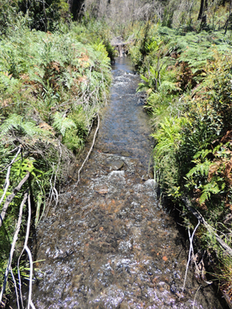
Is a watercourse approximately 50km long. It rises about 1km south east of Happy Valley Springs and flows generally east then north, north east into the Colo River.