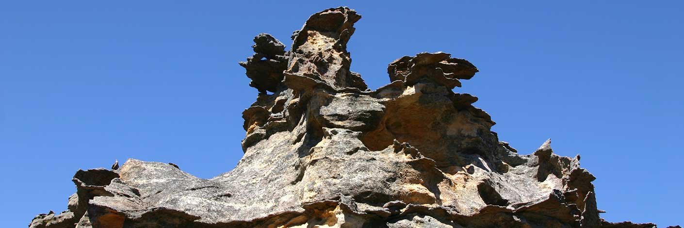
Is located 420m north north east of Mount Dawson on the Capertee / Wolgan divide. It is a more of sheltered location between the rocks as an ideal place to camp. Known by this name or the name Dawson Caves by bushwalkers from early 2000.
Bush Explorers Encyclopaedia
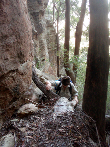
Is a very steep, almost vertical natural pass 200m north, north east of Mount Dawson. The pass access from the Capertee Valley and Goolooinboin Station was discovered and named by Michael Keats on a bushwalk, 13th September 2009.
Located 700m south, south east of Hartley Vale between Lockyers Road walking track and Waltons Road, Hartley Vale at an altitude of 1000m. In 1855 Mr Dixson of Newcastle was engaged to find the extent of the coal seam. By digging a shaft he found the coal seam to be 4.5 feet thick. Shown on Survey Plan No C259.1507 of 50ac of land at Mount Dixson surveyed April 1865. Ref: The Shale Railways of NSW map by Eardley and Stephens, 1974, p.16. NSW Gazetteer and Road Guide by Robert Whitworth, 1866, p.258, records, " A most valuable seam of bituminous coal has recently been opened at the base of Mount Dixon, (sic) about 2 miles due N. from here; (Hartley) it is of a most peculiar quality, and from experiments made, from 160 to 160 gallons of crude kerosene oil to the ton have been extracted."
Is located 2.7km north west of Marrangaroo, height of 1149m. This name is shown on the maps Geological Map of the Districts of Hartley, Bowenfells, Wallerawang and Rydal, compiled by Charles Wilkinson, 1875 and Map of the Western Coal Fields, 1906.
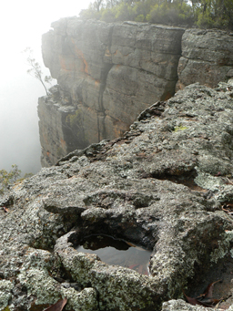
Refers to the northern section of a mesa, 789m high. Located 1.8km south of the junction of Glen Davis Road and Glen Alice Road and 5km west of Glen Davis. The south western part of this mesa contains Mount Canobla. Mount Gundangaroo is shown on the map Parish of Gindantherie, 1892. The name is Aboriginal in origin. Unfortunately, it is not recorded as to which dialect the name came from. For example, the suffix "garoo" refers to "hungry". Ref: Curr, Edward M. The Australian Race, 1886, and also recorded as "magpie", Watson, G. Mouths of the Burdekin River and Science of Man, 1898.
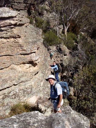
Is located midway along a ridge line which divides Sapling Flat Creek from Red Rock Creek. It is 6.7km due east of Pantoneys Crown. Shown on the map Parish of Goollooinboin, 1884. Most likely, Harvey was a person who took out a Conditional Purchase Lease in this region, but no definitive origin for this name has been found.
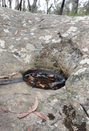
is a hill, 1170m, on Waratah Ridge Road, 3.3km east, north east of Bungleboori Camping Ground. Mount Horne appears to be a misspelling, as the Parish of Clwydd, County of Cook, 4th and 5th editions, 1917 and 1928, as well as Wilson, Alex. Map showing the various attempts to find the best route from Mount Victoria to the Western Country NSW,1914, all record the name as Mount Horn. Most likely, it was named after Cape Horn, the southernmost tip of South America that was the halfway point and fastest route from Australia to England. It is isolated, has notoriously rough seas and icebergs. Maybe this area was a land equivalent to the similar isolation and ruggedness of Cape Horn. The Aboriginal grinding grooves and water basins on top of this hill have been referred to as The Tool Factory by Wendy Lewis, who is legally recognised as a traditional owner of Wiradjuri lands. Correspondence, 8th April 2010.
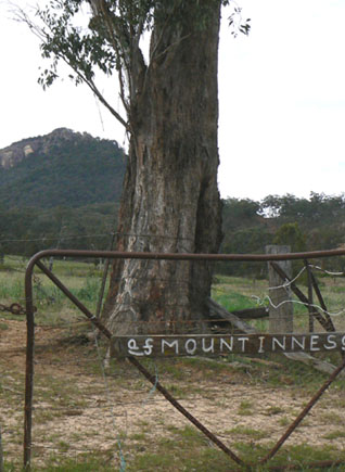
Is located on the eastern end of Stack Ridge and is surrounded on three sides by a cliff line. It is 3km north of Glen Alice. Dr James Innes (1796-1846) married Jane Alicia McLeod in 1828. James was granted 1760ac in October 1831 at £14 per annum. He named his cattle station Glen Alice. Jane Alicia was born c1800 and died on the 2nd December 1881. James’ brother George, (1802-1839) took over the property a few years later and when he died, his wife Georgianna Lorn Moorshead sold the property. Also see Glen Alice.
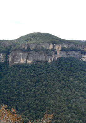
Is a small hill, 1050m, on the mesa between Mount McLean and Mount Davidson, 5.3km south east of Pantoneys Crown. Accessed via Baal Bone Gap and McLeans Pass. GNB notes, 27th August 1970, record only a hill but retention of "Mount" in name is recommended. Shown on the map Parish of Wolgan, 1884. Named after Sir John Jamison (1776-1844) in this region, are (see separate entries) Sir Johns Point and Sir Johns Mouth. His first grant of land was near Glen Davis, Capertee Valley, in 1825, where he purchased 4000ac. Ref: Glen Alice School Centenary, 1884-1984, p. 16. The Sydney Gazette, 25th June 1836, p. 4, records, "900,800, 860 and 1200 acres applied for by Sir John Jamison at Capertee at five shillings per acre." The NSW Government Gazette, 1836, pp. 468-469 records, "Sir John Jamison having the following acreages at Capertee, 1100, 640, 900, 800, 860 and 1200ac granted at five shillings an acre." The SMH, 29th September 1846, p. 4 records the auction of the Estate of Capertee, property of the late Sir John Jamison, 14,788ac (5989ha). Jamison was a name that appears so often on early parish maps (for example Parish of Wolgan, 1884) and in general text was spelt incorrectly as Jamieson.
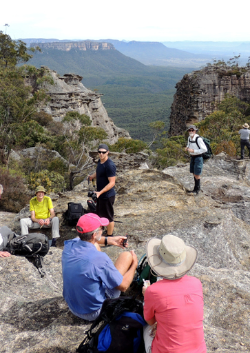
Also see McLeans Pass. A mountain, 1065m, 1km east of Baal Bone Gap and on the western side of McLeans Pass. Shown on the map Parish of Ben Bullen,1885. At one stage, John McLean and his family owned or leased properties from the Upper Turon to Sunny Corner, a distance of 95km, and employed close to 100 men. He was known as the Lord of Capertee. Ref: Coxon, Betty. Not Lost but Gone Before. A Family History of the McLeans of Capertee, 1999. It was Jonathan McLean and his two brothers, George R McLean and Donald McLean, who in 1870 were the first to discover kerosene shale deposits and open up a mine in the Glen Alice area. Ref: Carne, Joseph. The Kerosene Shale Deposits of New South Wales, 1903, p. 38. A number of the McLeans are buried at Glen Alice Cemetery. The cemetery land was originally purchased and set aside by John McLean.
This track leads from the road to Cape Horn via The Bicentennial National Trail in a generally north direction to Mount McLean. This track gives access to Stargate Tunnel, McLeans Pass and all the named features along the Wolgan / Capertee Divide.
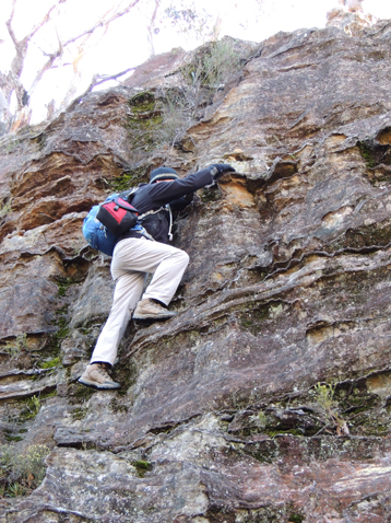
Is a hill on the western end of Railmotor Ridge, rising above Nayook Creek. Situated about 300m east of the saddle (Deep Pass) and 5.2km east of Cockatoo Hill Trig Station. Named by Wilf Julius Hilder (1934-2011), c1970, after John Norris who held the lease at Deep Pass in 1960. John had built a hut within the clearing and used the area to grow potatoes, a vegetable that would keep in the ground until needed. Ref: Correspondence with Wilf Hilder, 19th December 2009. Special Lease, Norris LB60/7.
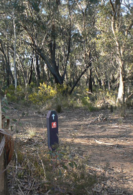
Is a small hill, elevation 1015m, about 2km north of Clarence Trig Station and 1.4km south west of Clarence Railway Station. The Main Western Line passes below via a tunnel on the north east side and the Zig Zag Historical Railway circumvents this hill from east to west. Mount Sinai in Egypt is the site where the prophet Moses received the Ten Commandments. May have been renamed from Bald Hill as shown on the Parish of Lett, 2nd edition,1890, to the more significant name, as it is located on the highest point where the railway started the main descent from the Blue Mountains Range to the valley floor. Parish of Lett, 4th edition, 1st November 1897.
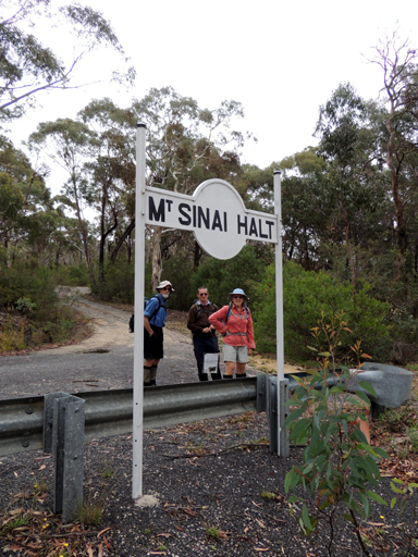
Is one of the names of the platforms on the Zig Zag Railway.
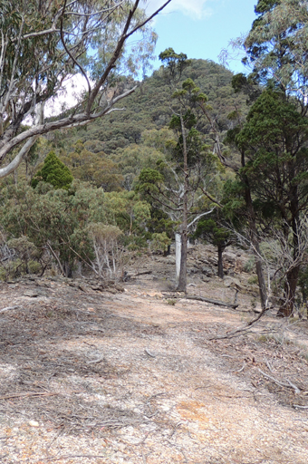
Rises to 985m, 4.4km south east of Pantoneys Crown and above the northern end of Hughes Defile. Shown on the map Parish of Goollooinboin, 1884. Named after Reverend Colin Stewart (1803-1886). Born in Scotland, he arrived in New South Wales in 1839. Upon his arrival, he was sent to Hartley and was granted 130ac of land in the Lithgow Valley. Between 1839 and 1842, his area of ministry extended from Bowenfels to the Queensland border. He held the first Presbyterian service in Capertee Valley in 1839 and opened the first church at Glen Alice in the 1860s. Ref: Palmer, Freda and Scurrah, F L. Tour of Rylstone and Capertee Valleys, 1969, Pt: 2, pp. 4-5.
Is the alternate name for Blacks Corner. See also Blacks Corner. It is 2.7km north of Mount Airly. Name created by the original three who proposed the Gardens of Stone National Park, Rodney Falconer, David Blackwell and Dr Haydn Washington, November 1984.
Is a hill at an altitude of 925m located on a small ridge line 1.1km north of Little Capertee Camping Ground at Newnes. David Noble called it Mount Tricky in 1978 since it didn"t have a name and was tricky to get off, particularly in the dark! That was when he was walking in a westerly direction.
Is named after James Walker (1785-1856), who was granted 2000ac at Wallerawang in 1824. The name Mount Walker is shown on an early map, Plan of Bathurst by James McBrien,1823. Note: this map was a work in progress and additional information was added to the original map. The Aboriginal name for this high point was Giligarambala, as recorded on map showing the various attempts to find the best route from Mt Victoria to the Western Countries, 1914. Different spelling, Gilligarambala, is recorded on the Geological Map of the Districts of Hartley, Bowenfells, Wallerawang and Rydal compiled by Charles Wilkinson, 1875. Located 5.5km due west of Lithgow within Marrangaroo National Park.
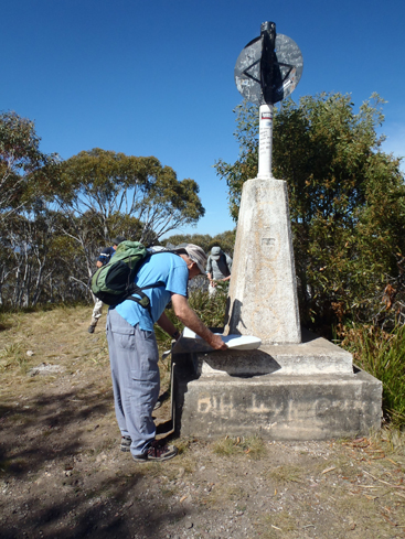
Has a height of 1189m. Located on Mount Walker. Named after James Walker (1785-1856), who was granted 2000ac at Wallerawang in 1824.
See Wolgan.
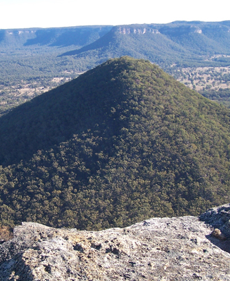
See Little Donkey.
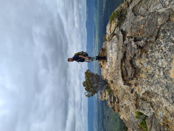
Is located on top of the cliff line, at the easternmost point of Mugii Murum-ban State Conservation Area on the section of the mesa known as The Hammer. Named by Dan Slater 26 January 2021. Dan recorded, "I'd love to name the pointMugii Dhudungura - Owl's Rest. I imagined Charlie Riley walking out here as we did and resting to enjoy the view, but it also works for the eponymous mopoke."
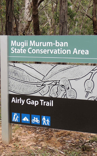
Mugii Murum-ban State Conservation Area
Was created on the 4th March 2011. It covers an area of 3650ha. This area is on the northern side of the Glen Davis Road, 8km east of Capertee and includes Mount Airly and Mount Genowlan. The park contains a great diversity of ecosystems, supporting several threatened plants and animals and two threaten ecological communities. It also contains heritage stone dwellings of New Hartley oil shale ruins near Airly Gap. Named after the Wiradjuri Elder, Charley Riley. Mugii is Riley's Wiradjuri name and means a Mopoke Owl, while Murum-ban means eldest son in the Wiradjuri language.
On the 14th September 2016 a further 274.2ha was added to the northern boundary. This addition results in the northern boundary adjoining the Capertee National Park.
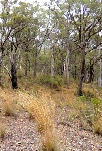
Is a non perennial creek rising on the eastern slopes of the Great Dividing Range 2km north east of Ben Bullen. It flows generally north for about 6km into Watch House Creek. The headwaters of Murdocks Creek are 2km south east of Rowans Hole. Rowans Hole was named after Walter Rowan, who in 1875 took out three Conditional Leases. When he died in 1882, the leases were transferred to his wife, Sarah. Walter had married Sarah Murdock in 1863, she died in 1879. Ref: NSW BDMs and Conditional Purchases Register Book, State Records, Kingswood.
Intersects with Moffitts Trail, at the headwaters of Murdocks Creek. It extends generally in a northward direction until it intersects with Airly Creek, where the name changes to Airly Creek Trail. Shown on the map Parish of Coco, 1883. Murdocks Creek Trail is about 9.5km in length.
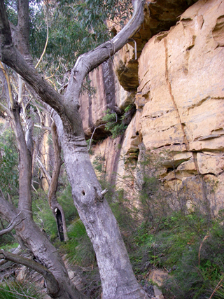
Is a natural walking track below the cliff line off the "nose" of Joseph and Carne Creeks. Located at southern end of Firetrails No. 5 and 3. Named after Stephen (Steve) Murray, Former Bush Club member and at the time a close walking companion of Michael Keats. Michael named it on their Bush Club walk on 16th February 2007. Starts at GR 423 096, continues south, then east and finishes at GR 423 091.
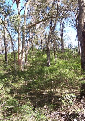
Is located 4km due north of Galah Mountain. It is a small volcanic basalt peak rising only about 10m from the surrounding area. Accessed via Galah Mountain Road and Deanes Creek Trail. Mount Morgan Topo Map, GR 472 186. Edward (Ned) Murray (1791-1862) was one of the earliest farmers in the Wolgan Valley. He worked for the property owner James Walker from 1824. Ref: Descendants of Edward Murray and Rosannah McConvil, prepared by Ean Jones. But it was most likely named after his grandson, Samuel Murray (1853-c1900). Sam was a landholder in this district. Ref: Interview with Danny Whitty, 19th February 2010. See more under Murrays Swamp. Described in Carne, Joseph. Geology and Mineral Resources of the Western Coalfield, 1908, p. 135 as “A small patch of porphyritic columnar basalt resting on Hawkesbury Sandstone …Area, 0.9 acres.” Mount Morgan Topo Map, GR 472 186.
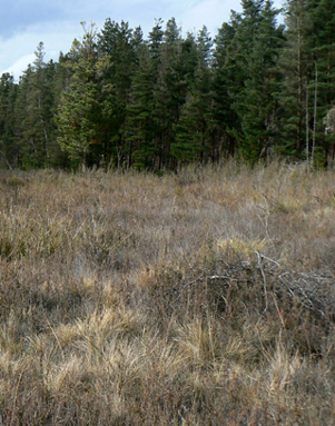
Is located in the vicinity of Red Hill Road and Glowworm Tunnel Road. Part of the headwaters is between the Glowworm Tunnel Road and Camp Road. Murrays Swamp is shown on map Parish of Cook; County of Cook, 1st edition, 1883. "From Summit, (The Summit Loop elevation 3,960 feet on the Wolgan Valley Railway), the line began to descend an almost continuous grade of 1 in 50, over sharp curves, to 12miles to 20 chains, where Murrays Swamp was crossed on a timber culvert. Ref: Eardley, G H. and Stephens, E M. The Shale Railways of NSW, 1974, p. 128. The Summit referred to above is the present day Cockatoo Hill Trig Station, 12 miles or 19.3km from Newnes Junction. A sawmill in this vicinity was used for cutting the bulk of the timber sleepers for the construction of the railway to Newnes. Mill mountings and foundations can still be identified. Edward (Ned) Murray (1791-1862) was an assigned convict to James Walker and he completed his sentence on Walker's Wolgan Valley outstation (now part of the Emirates owned Wolgan Valley Resort). Following his pardon in 1843, he and his wife Rosannah (Rosa) continued to live there in Walker's employ until he purchased his firs t30ac in 1853 at the head of the Coxs River. Ref: Survey Plan C14.1507. Survey Plan C117.1507 and 210.1507, dated 1863, records 40ac of land on Kangaroo Creek, Parish of Cox in Rosa Murray's name. Samuel Murray (his grandson) purchased 32ac on the 10th September 1857 and the adjoining 40ac on the 8th December 1881. Parish of Cox; County of Cook. Survey Plan 124 and 1157.1507 and CP120-81. The Lithgow Mercury, 5th April 1907, recorded, "At Murray's Creek, two or three miles further out, we passed stacks of sleepers and waste timber, the product of the sawmills that worked there."
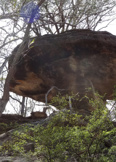
So named by Yuri Bolotin on a Bush Club walk, 15th December 2013 due its mushroom shape, one is able to stand underneath on one side and squat on the other. Located on one of the pagoda ridges south of Baal Bone Point.
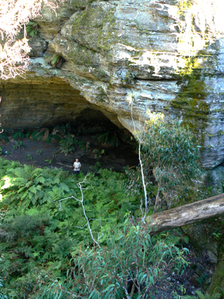
Is located at the eastern end of an old overgrown forestry track off Galah Mountain Road, 1.8km north west of Mount Budgary. It measures 20.6m in width, 9m in height and in depth. Named by Yuri Bolotin, March 2012, to coincide with the music theme name, Orchestra Pit Cave, which is 200m to the north east.
Mutiny Point, Mutiny Spur, The Binnacle, The Wheelhouse
Is a 950m spur within the area known as The Barnacles. GR 491 911 to 495 904. The northern end was named by Yuri Bolotin on 18th January 2013, when in 40 degree plus heat, Brian Fox, Emanuel Conomos and Michael Keats mutinied refusing to continue the walk, deciding that it was unsafe. Just below Mutiny Point is a rock feature named by Michael Keats, The Binnacle, GR 493 909, and at the southern end of the spur is a tilted rock and cave that Michael named, The Wheelhouse. All these names are associated with the nautical theme of the other names in this area.
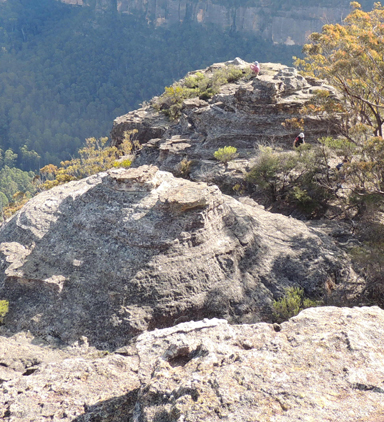
Is located to the east and directly opposite the veranda of the old Newnes Hotel and the summit is 340m above the Wolgan River. The mountain is part of what is called (see) Island Mountain. Allan Watson of the Newnes Hotel explains," When you sit on the veranda and ask, I wonder what it is like up there?" Since there is no intention of actually going to find out, the answer is a mystery." Allan is not sure how the name came about, but it was so called prior to the 1950s. Ref: Interview with Dick Bird, 29th January 2010, who recalls his father Jim called it Mystery Mountain, because in the 1940s, three sovereigns were found at the base of the mountain. A third suggestion comes from Thomas Ebersoll, proprietor of the Newnes Holiday Cottages, who says the name is a corruption of Misty Mountain, because for many months of the year in the early mornings the mountain is shrouded in mist. A fourth explanation comes from a previous resident of the valley who also recalled Jim Bird telling him that a group of people went up the mountain but one of the group never came back. Ref: Oral history Bruce Tweedie, 2nd May 2016.
Named by Michael Keats and Brian Fox on a bushwalk of 28 July 2014. Michael recorded, “Soon we felt a strong breeze and the canyon walls became very high, about 25 m high. There was a reason for this breeze as a few more steps took us to the edge of the cliff line and a yawning void down 300 m into the Wolgan Valley. We had stumbled across the much talked about non-negotiable slot that separates Mystery Mountain from Island Mountain”.
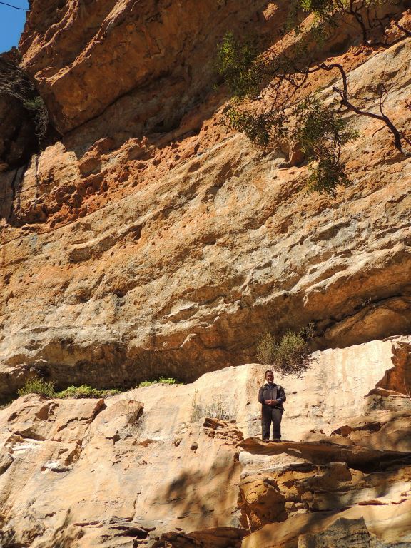
Is a continuous ledge that trends at a uniform altitude below the top cliff line of Mystery Mountain opposite the Newnes Hotel. The ledge is accessible from GR 437 245, north west of Zobels Gully, around Mystery Mountain, until GR443 255 above Galaxies Gully, a distance of over 3km. Using this ledge, a circumnavigation of the entire Mystery Mountain plateau (the north western part of the Island Mountain) is possible within one very long day. Named by Yuri Bolotin on a Bush Club walk 26th September 2017.
Is a descriptive term for a narrow saddle 5.8km north east of Cockatoo Hill Trig and 2.6km due north of Deep Pass. Geographical Names Board records, 5th March 1975, " A well known feature, a fire trail follows the watershed over this narrow saddle." In 1998, the NPWS blocked off the Mount Cameron Track 300m before the Natural Bridge with a permanent barrier. Ref: David Warren Noble's canyon archive reports. Lieutenant Colonel Clews, army surveyor, in his article, "The Bad Bit across the River" records that, when he was using the bridle track to Mount Cameron, "Natural Bridge is a very low saddle." This track was well in use from 1903 and Clews (in the 1930s) most likely was just referring to the already local name.
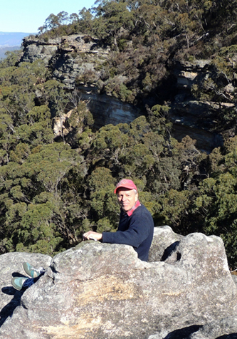
Located at Hassans Walls, Lithgow is an armchair rock formation on the edge of a singular rock, which was the original Bracy Lookout. It has views over the Hartley Valley. Underneath this rock is the overhang known as Sandford Cave. Recorded by Jim Smith 2002.
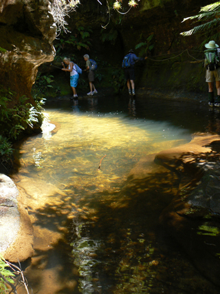
Is a perennial creek that has its headwaters on the eastern side of the junction of Deep Pass Trail and Mount Cameron Trail. It flows north east, east and south east for about 34km into the Wollangambe River. Nayook is the Aboriginal word for Cockatoo, and this creek rises about 1km east of Cockatoo Hill Trig Station. Ref: Bunce, Daniel and Graeme, Butler. The Australian Race, Lower Yarra. A History of the Buln Buln Shire, 1979. Possibly named by Lt.Col. Hugh Powel Gough Clews, known as "The Major" (1890-1980), Australian Survey Corps. He named Dinner Creek, which is near the headwaters of Nayook Creek and Clews Ridge and is midway and on the north side of Nayook Creek. Clews had surveyed the Wollangambe one inch to the mile topographical map inthe early 1930s.
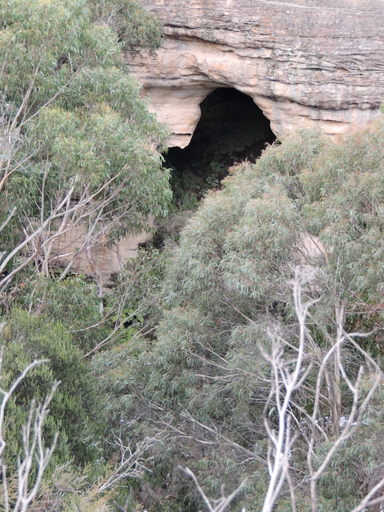
Is a series of very large hemispherical caves on the eastern side and midway along the State Mine Gully Road north of Lithgow. Known by this name at least from 1912. Ref: Lithgow Mercury 5th June 1912, p. 2. Ken Poppett, local resident, oral history, 25th February 2012. These caves have been mapped and named Twilight Cave for the northern cave and Aledged Cave for the lower cave by Erik Halbert and Ross Ellis in 2006. Ref: The Journal of the Sydney Speleological Society, 2007, 51 (6): pp. 174-178.
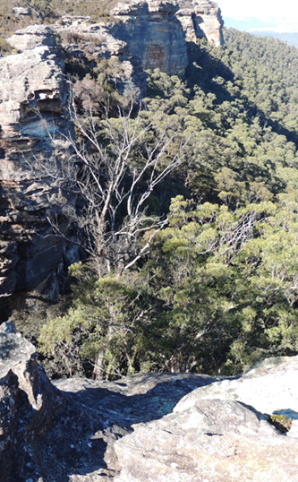
Possibly refers to the gully midway along the western side of Hassans Walls and the eastern side of the First Lookout, Lithgow. It may have been named after Nellie Constance Hoskins, who died aged 18 years, 1914. Nellie was the daughter of Charles and Emily Hoskins who had given 50,000 pounds to build the Hoskins Memorial Church (Presbyterian) at Lithgow.
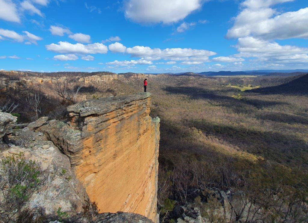
A narrow vertical slice of rock, like a razorblade, jutting out from the main cliff line, 40 m south west of Nose Rock. 700 m south west of Baal Bone Point. Named by Paul Ma on a bushwalk of 5 September 2020. Paul records,“it requires nerve to stand at the tip of this rock.”
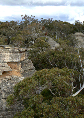
Is a water course about 4km long. It rises approximately 4km south east of Cullen Bullen and flows generally south into Wangcol Creek. Alois Joseph Neubeck (1821-1904) and his wife Clara arrived from Germany on the ship, Peru, in 1855. He and his family settled in Blackmans Flat in 1862 near the present day Mount Piper Power Station and operated a blacksmith shop and staging area for Cobb and Co on the Mudgee run. They eventually owned 180ac (72.8ha). Alois's grandson, Francis (Frank) Joseph Neubeck (1889-1976), owned an open cut and underground coal mine as well as 5151ac (2084.5ha) in the Wolgan Valley and several houses in Lidsdale. His main house Lidsdale House was constructed in 1912. Ref: Survey Plans 485.1507, 40ac; 524.1507, 50ac; 525.1507, 80ac and 1967.1507, 240ac. Neubeck family history compiled by Dorothy Neubeck.
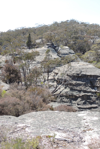
Is located 1.3km due east of Invincible Trig. It is 700m in length. It commences at spot height 1098, and extends south to GR 266 082. Named by Michael Keats on a Bush Club walk, 19th October 2012.
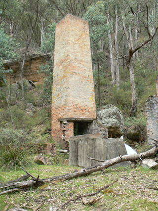
Is located in a scenic valley on the Wolgan River about 7km south west of Glen Davis, 35km via road from Lidsdale and 50km from Lithgow. The SMH, 14th November 1907, p. 8, records, "the Department of Lands decided to adopt the name Newnes for the proposed village in lieu of Wolgan as previously approved." Newnes was proclaimed a village on the 8th April 1908. Named after Sir George Newnes, a British Knight, and head of a group of London investors responsible for the development of the oil shale deposits. During the early operational years of the Commonwealth Oil Corporation Ltd and the Fell Company, Newnes had a population of 1652 (1911 census). The 1921 census listed 820. Ref: Taylor, Greg. J. Newnes, History of a Blue Mountains Oil-Shale town. Undated, p. 30. The Lithgow Mercury, 25th October 1907, records a notification of the listing in the Government Gazette of the village of Wolgan and setting out the boundaries of this village. Six months later, the name was changed to Newnes. The SMH, 13th May 1911, p. 5, records other names that were used for Newnes, such as Jones Township, Government Township and Company Township.
Note: During the period 1907 to 1909 the present location of Newnes was known as Newnes South, Newnes North was located at the present Glen Davis. Plan of Portion ML 12, dated 30th May 1908 shows Newnes North and track from Newnes South with significant buildings and tunnels into the shale mines. Lithgow Mercury 1st March 1907, p. 8, records the bridle path linking Newnes North to Newnes South.
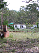
Was located about 400m west of Glowworm Tunnel Road within Newnes State Forest on Camp Road. The Newnes Afforestation Camp (also known as Newnes Forestry Camp and/or the Newnes Prison Farm ) opened on 26th June 1968 with 80 inmates. It closed on 10th September 1982. During this time, the inmates built and maintained bowling greens, later converted to basketball and tennis courts, playing fields, a swimming pool, a lake, and a natural rockfountain. Between December 1985 and January 1991, the Department of Sport and Recreation ran the camp at Newnes. In this time frame, they conducted a range of camps for children, families and senior citizens. Activities included abseiling, archery, canoeing, bushwalking and swimming. The next use of the site was The Newnes Young Offenders Correctional Centre, which was officially opened by the Minister for Justice, the Hon. Terry Griffiths on the 16th August 1991. The NSW Department of Corrective Service ran this centre until its closure on the 9th March 1993. Ref: Herbert, Michael. Newnes Young Offenders Correctional Centre, October 1993.
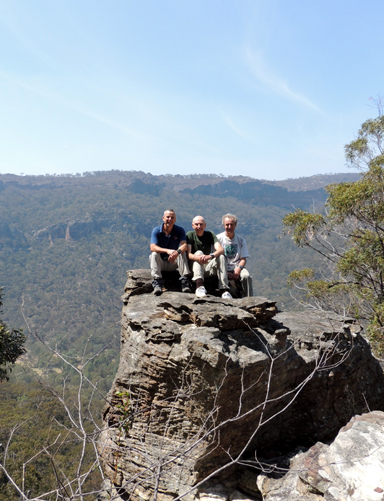
Is a ledge below the top cliff line within the area known as Red Cliffs above and on the north side of Capertee Creek. This balcony level above the Capertee Creek Valley extends for 1.5km. Named by Yuri Bolotin on a Bush Club walk, 20th April 2013.
Is a ledge below the top cliff line above and on the north side of Capertee Creek valley. It extends for about 1.1km. Named by Yuri Bolotin on a Bush Club walk, 2nd December 2013.
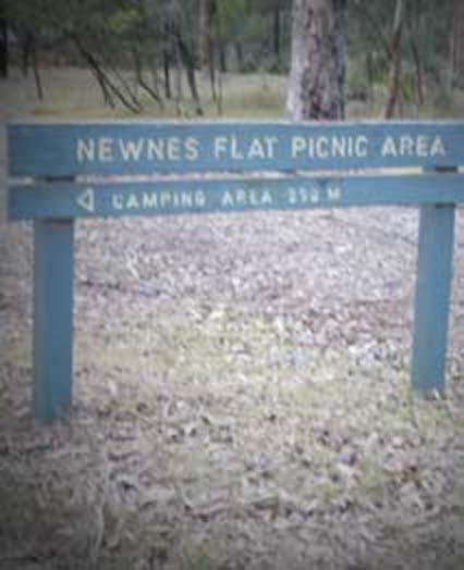
Is located on the Wolgan River side and 50m before Little Capertee Camping Area, Newnes. Ref: As per NPWS signage. The area is just inside the Wollemi National Park boundary.
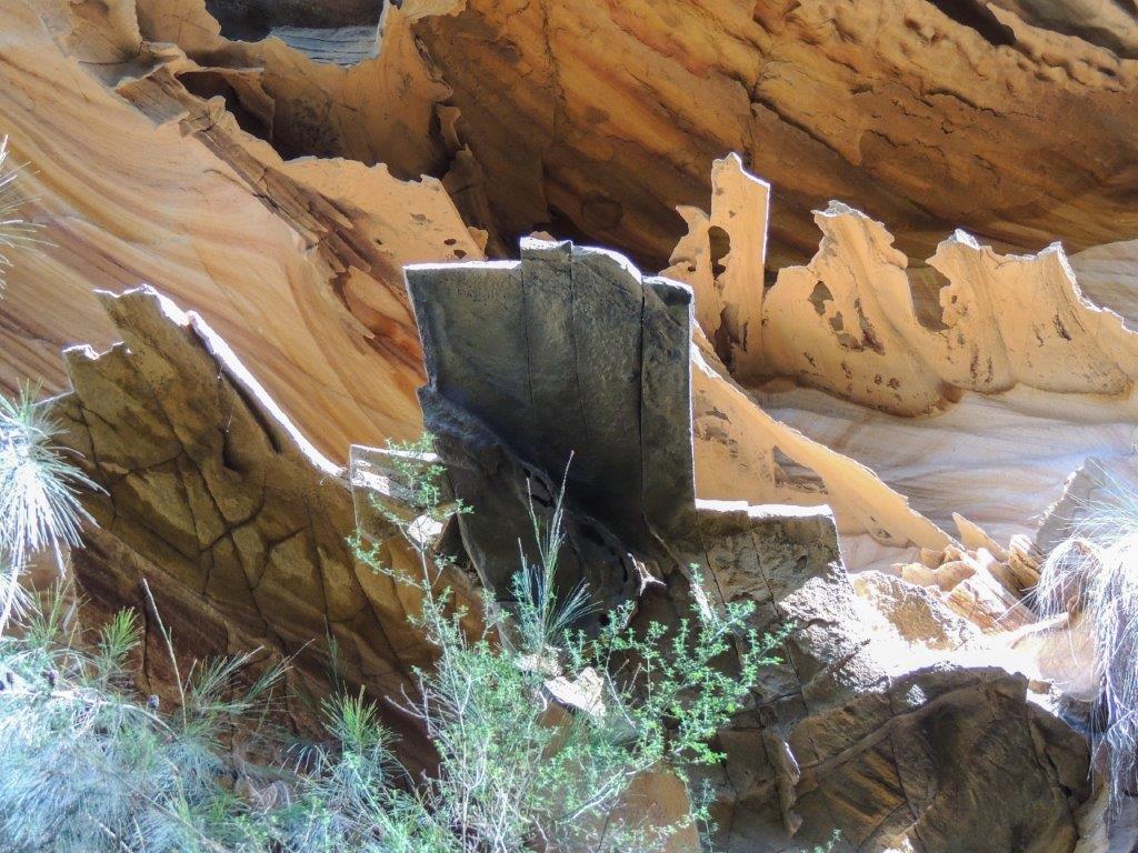
Refer to a number of overhangs with exquisite coloured and fine filigree rock formations. Located at the top northern end of Cathedral Canyon and 1km above and north of Newnes camping ground. Named by Yuri Bolotin on a bushwalk, 15 April 2019.
Are located on the Wolgan Road immediately north of the Newnes Hotel, within the Wolgan Valley. Built, owned and operated by Thomas Ebersoll and Helen Drury, these individually styled cabins located alongside the historic Newnes Hotel provide a great, comfortable base for exploration in the area.
The complete story of this hotel is published in Book 7 Gardens of StoneNational Park and beyond.