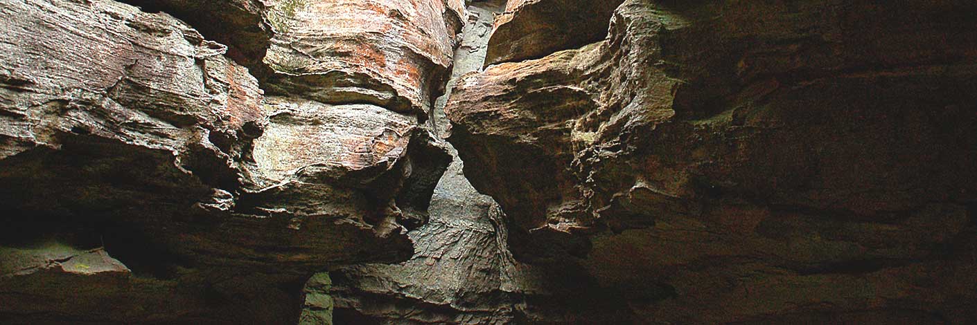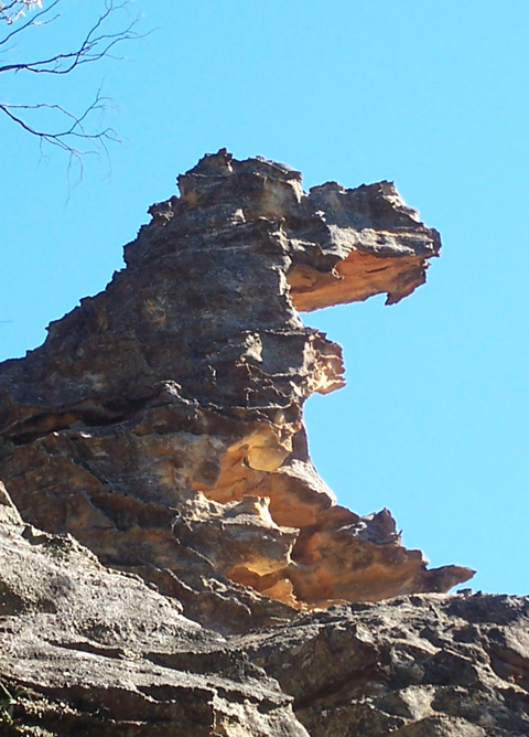
See Donkey Mountain, north east section
See Donkey Mountain, north east section
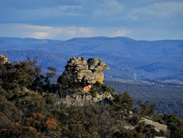
Is located within the Mugii Murum-ban State Conservation Area on the western side of Mount Airly and below the feature known as Torbane Balcony. Named by Yuri Bolotin and Peter Medbury on a bushwalk 14 June 2021. Yuri recorded, "a giant rock sculpture that looked like an Eagle chick".
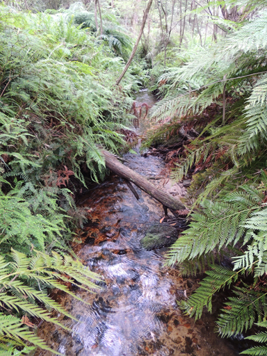
Is a tributary of Carne Creek and has its headwaters between North Ridge Road and Camp Road, 2.7km north east of Bungleboori Camping Ground. It flows in a generally southerly direction for 5.7km to its junction with Carne Creek. 700m before this junction, Camp Creek flows into it from the east. Name recorded in the Proposed Birds Rock Colliery, Environmental Impact Assessment, December 1981, figure 3.
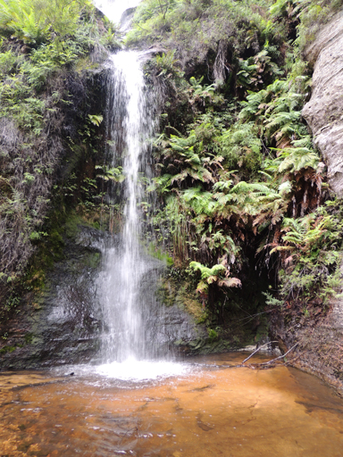
Located within the southern end of East Creek. The creek watershed is between North Ridge Road and Glowworm Tunnel Road, Newnes Plateau. The top bridal veil fall is over 30m, the lower fall about 20m. Connecting the two falls is a twisted hollow tubular section of about 4m. The bottom waterfall discharges into a glorious shallow pool. Named by Brian Fox and Michael Keats 30th March 2015.
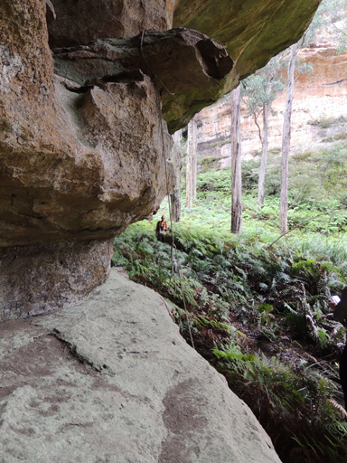
Is located at the headwaters of the Wolgan River on the northern side of the road junctions, Blackfellows Hand Trail and Beecroft Firetrail. This swamp extends for 2km. The southern part was originally known as see Lightning Swamp.
Gives an easy grade access between the valleys of Little Capertee Creek and Canobla Creek. Named by Yuri Bolotin on a Bush Club walk, 20th April 2017. Yuri recorded,“Thinking about both coming up from Canobla Creek side and especially walking down into the Little Capertee Creek, this was one of the easiest and most pleasant passes in memory, so I called itEasy Glade Pass (if it sounds a little bit like ‘easy grade pass’, then I meant it this way).”
Is located 200m above and overlooking the Wolgan River, access 3km from Little Capertee Creek Camping Ground via the Pipeline Track. Named by Thomas Ebersoll, owner of the old Newnes Hotel and shown on his hand drawn map, The Newnes Area, 2005.
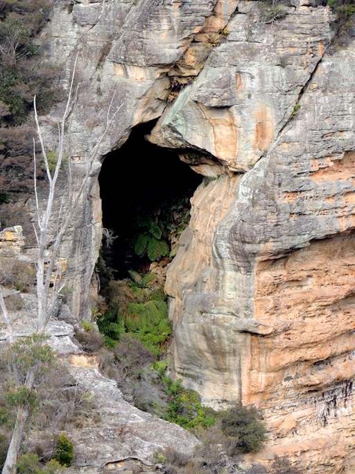
Edmund Cavern is 100m further south of Edmund Falls within Edmund Gully. This cavern is a gaping fern filled cave inaccessible to walkers halfway up the cliff face. So named by Michael Keats and Brian Fox on a bush club walk, 25th May 2015. Joseph Edmund Carne (1855-1922) State Government Geologist for whom Carne Creek is named.
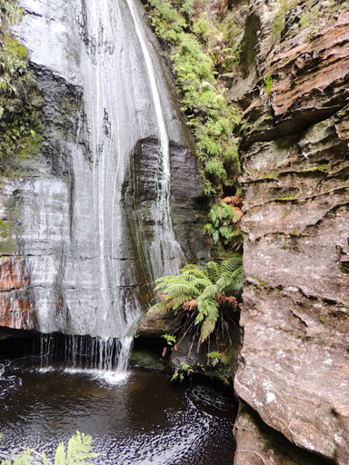
Located within Edmund Gully a cliff lined tributary of Carne Creek, which is on the southern side of Fire Trail No. 3, off Glowworm Tunnel Road, is a 30 plus metre waterfall, So named by Michael Keats and Brian Fox on a bush club walk, 25th May 2015. Joseph Edmund Carne (1855 -1922) State Government Geologist for whom Carne Creek is named.
Is a cliff lined tributary of Carne Creek, located on the southern side of Fire Trail No. 3, off Glowworm Tunnel Road. Within this gully is a 30 plus metre waterfall, Edmund Falls. Edmund Cavern is 100m further south, a gaping fern filled cave inaccessible to walkers halfway up the cliff face. So named by Michael Keats and Brian Fox on a bushclub walk, 25th May 2015. Joseph Edmund Carne (1855-1922) State Government Geologist for whom Carne Creek is named.
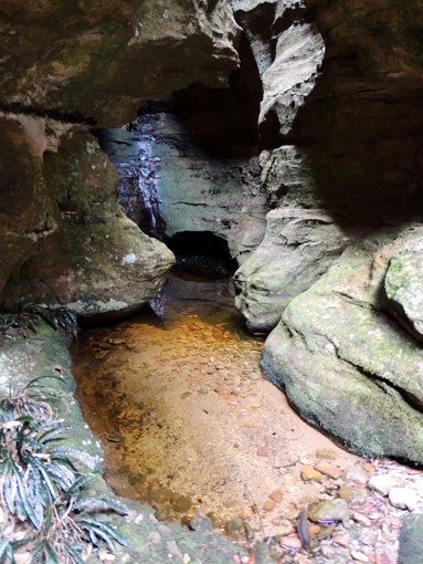
Is located above the cliff line 1.6km north, north west of the intersection of the Wolgan Road and the road to the Emirates resort. Edwin Barton (1833-1876) had married Georgina Lyon Wolgan Walker (1843-1906) in 1865. Their family were the earliest property owners in the Wolgan Valley. Edwins Bath is just one of many tributaries which runs into Barton Creek. The use of the word, ‘Bath’ describes a glorious one metre deep crystal clear pool enclosed in an ornate chamber of natural architectural splendour. Named by Michael Keats, Brian Fox and Yuri Bolotin on a Bush Club walk 30th August 2016.
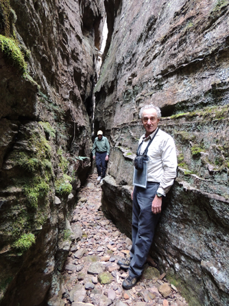
Is located above the cliff line 1.5km north north west of the Wolgan Road and Emirates intersection. So named as it is the first name of Edwin Barton in keeping with the nearby Barton Slot and Barton Glen. Named on a Bush Club walk, 28th August 2015 by Brian Fox, Yuri Bolotin and Michael Keats. This slot is about 40m long, up to 30m high and varies in width from a very tight 30cm to 1m.
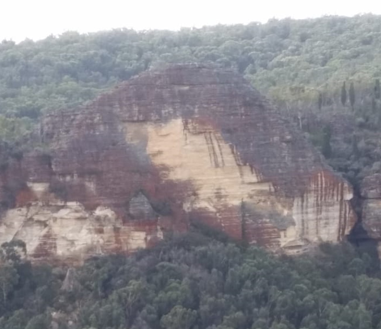
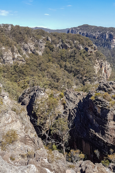
Is the accumulative name to over 20 slots which dissect the Eldorado Walls. Located in a 400m wide semicircular gully above the first major cliff line 1.5km due south of the old Newnes Hotel. Jointly named by Yuri Bolotin, Michael Keats and Brian Fox on a Bush Club walk, 10th October 2016 in keeping with the Eldorado theme. Silver Slot and Diamond Ramp are two named slots in this complex.

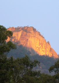
Refers to the bluff as seen to the south of the old Newnes Hotel. This high, cliff faced hill is above the junction of the Wolgan River and the Capertee Creek. Fabled El Dorado is associated with gold, and the sun shining on the walls gives this golden hue. Name recorded in Taylor, Pete. A Rockclimbers Guide to the Wolgan Valley, 1st ed; 1974, p. 137. Climbed from January 1975.
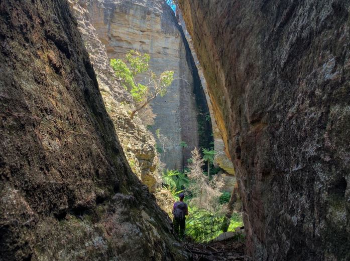
Elysium is located within Wollemi National Park above the cliff line and about 1 km due west of the Zobels Gully and Wolgan River junction. This is a flat, almost square space, about 50 m by 50 m enclosed on three sides by very high walls formed by giant curved blocks of bare grey and black coloured sandstone. Enormous Tree Ferns, more than ten metres high, fill this space. Named by Yuri Bolotin on 20 November 2020. He described it as,“The light, the colours, the textures, the sounds were all divine and made it such a perfect, special place to wander in. Wow! I have called this exceptional corner of the Wollemi, Elysium, Paradise in Greek mythology, in keeping with the theme of this area.” This area is accessed via Elysium Slot.
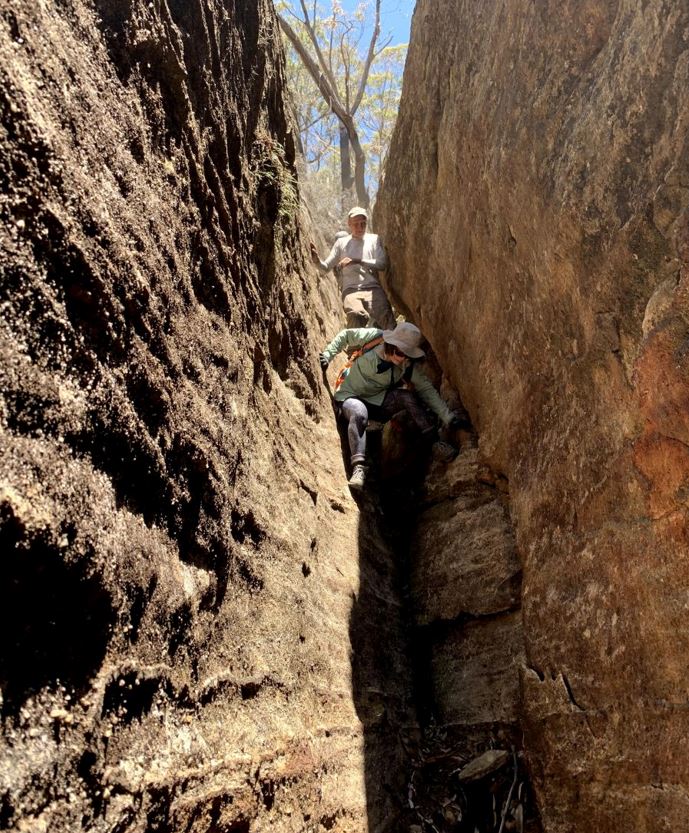
Elysium Slot is located within Wollemi National Park above the cliff line and about 1 km due west of the Zobels Gully and Wolgan River junction. At the top it is only about 50 centimetres wide, with parallel walls over 10 metres high. It goes down at a sharp gradient, widening gradually to about three metres across, and finishes with a negotiable drop into a wider gully and a ledge in the left-hand wall. Named by Yuri Bolotin on 20 November 2020. He described it as,“It is a very impressive slot, measuring about 50 m in length and dropping 20 m below the cliff line.” This slot leads to Elysium.
Emirates One & Only Wolgan Valley Resort
Construction of the resort commenced 21st November 2007. The complex is an investment of more than $125 million plus which included major upgrades to fencing, power, roads and electricity infrastructure. The resort is the largest capital investment in the Wolgan Valley since the Newnes Industrial Complex was built a century earlier.
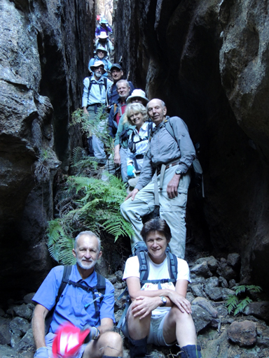
Is a slot on the eastern side of Endorphin Gully, having a length of 60m and width varying from 50cm to 1m. It descends like a staircase through about 30m of vertical height. Named by Michael Keats on a Bush Club walk, 6th May 2013.
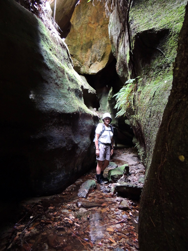
Is located between Sunnyside Ridge, (Firetrail No. 7) and Adrenalin Head, (Firetrail No. 6). It rises on the spine of Sunnyside Ridge and flows north to join Carne Creek. Named by Michael Keats on a Bush Club walk, 6th May 2013.
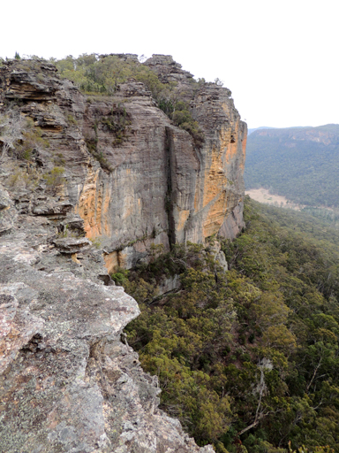
Is a high viewing location with expansive views over the Wolgan Valley, including Donkey Mountain. So named by Michael Keats on a Bush Club walk, 20th June 2013, after the gully below, Endorphin Gully. Endorphin Point is shown as a spot height of 1006m.
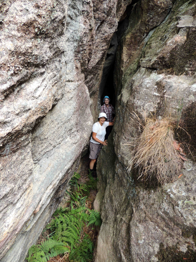
Is located 1.1km south, south west of the Wolgan Pinnacle on the western side of Endorphin Gully. This very narrow slot is just 30 to 40cm wide. Its smooth vertical walls are 20m in height, and it has a length of 30m which includes a right angled bend. Named by Brian Fox on a Bush Club walk, 20th June 2013.
Is a walking track between the southern end of Eskbank Street in Lithgow and Braceys Lookout in the Hassans Walls Reserve. The name "Eskbank" comes fromEskbank House , Lithgow. The track was reconstructed in 1998.
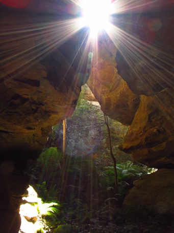
Is located 2km near due east of the intersection of Waratah Ridge Road and Two Trees Road, within Newnes State Forest. "Ethereal" means light, airy, heavenly or celestial. So named by Michael Keats on a Bush Club walk, 24th September 2012, after Rodney Nelson, a fellow bushwalker, captured on camera shafts of light entering this beautiful canyon.
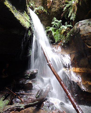
Plain of Shards is an area of rock formations located 400m north, north west of Mount Jamison and 700m south west of Wolgan Trig Station. Named by Rodney Falconer, who was one of the major players in the creation of the Gardens of Stone National Park, November 1984. Rodney named it after a sweeping expanse of bare rock, covered by the scattered remains of ironstone bands as if broken pottery was scattered across it. Other names recorded areThe Exploded Pagoda. Ref: Tom Brennan’s photo gallery, October 2010.Exploded Pagoda. Ref: David Noble’s blog, 9th July 2013. Ben Bullen Topo Map, GR 310 197.
Refers to the cliff line above the Wolgan River, opposite the Pipeline Track. Name recorded in Owens, George. New Rock climbs in the Blue Mountains, 1972.
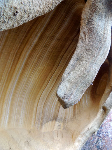
Faberge Gully is located below Faberge Caves which on the southern side of Mount Tricky, 1km above Little Capertee Creek Camping Ground, Newnes. Named by Yuri Bolotin, 2nd October 2015 the gully is an access down towards Cathedral Canyon above the Little Capertee Creek Camping Ground.
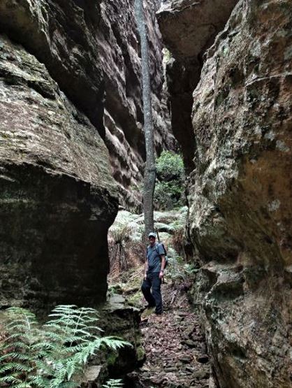
Is within the feature known as Mothers Arms on the eastern side of Genowlan Mountain, 1.2km south of Genowlan Point. This ‘room’ is accessed via beautiful dry overhang, 50m long and 3-4m high, with a flat floor covered with white powdery sand, which in turn leads to the bottom of a giant slot. This slot is likened to a room which continues for about 40m and terminates at a wall of ferns, pierced by a very narrow slot on the left hand side. Named by Yuri Bolotin and Brian Fox on a Bush Club walk on 22 December 2017 as the room is located next to Fantasia Traverse.
Is a mix of slots, canyons and cross junctions located on the eastern side of Genowlan Mountain, 1.3km south of Genowlan Point. It is part of Mothers Arms Pagodas. Named by Michael Keats on a Bush Club walk, 9th - 11th November 2010. So named due to the variety, beauty and challenging components of this section.
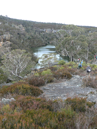
Is a perennial stream rising 4.5km north of Clarence Railway Station. It flows generally south west for about 17.6km through city of Lithgow into Lake Lyell and the Coxs River. Surveyor General Thomas Mitchell recorded in his diary on the 2nd April 1835. Ref: Mitchell, Major Thomas. Expedition to the River Darling, 1835.
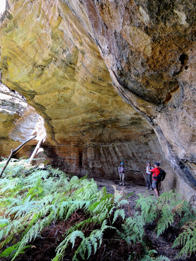
Refer to the previously given name which is Pleasant View Canyon.
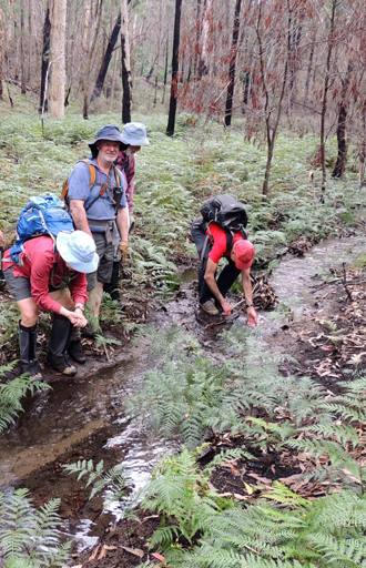
Has its headwaters at the southern junction of Fernbrook Ridge and Marrangaroo Ridge. It is non perennial and flows generally south for 2.7km to join Marrangaroo Creek. Named by Brian Fox, 29th March 2016. Fernbrook Fire Trail follows part of this creek system.
Links Reserve Road, Marrangaroo to the Beecroft Firetrail. Named after Fernbrook Creek in which it follows.
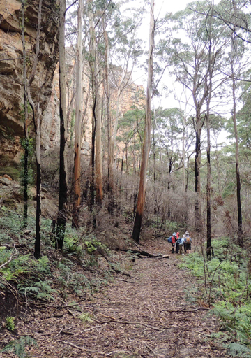
Trends generally south from Marrangaroo Ridge for 4km to above Marrangaroo Creek. Lithgow Topo Map. Named after Fernbrook Firetrail, which generally parallels this ridge in the gully to the west. Name recorded on Michael Keats bush walk, 30th April 2010.
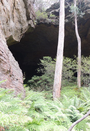
Is located on the eastern side of East Creek, and 150m south of East Creek Falls. This cave is approximately 30m wide, 15m deep and has a height of 20m. The cave has a section of flat and sloped floor. In one corner there is a large natural window through which the water of a creek falls. But the most striking feature of the cave is that all of its walls are thickly covered in luxuriant green ferns, Named by Yuri Bolotin, on a Bush Club walk, 25th January 2016.
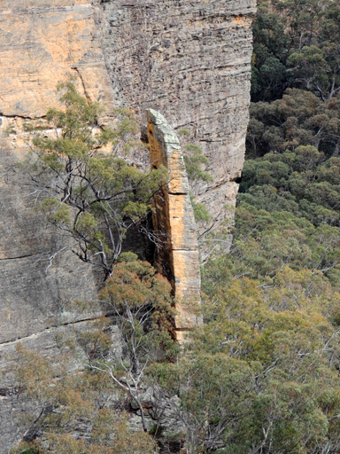
So named as this 30m high and 1m wide slab of detached rock face has broken away like a finger of a hand. Located below the first cliff line 300m north of the western end of Nobles Canyon. Named by Brian Fox on a Bush Club walk, 19th May 2014.
Is recorded in the Lithgow Mercury, 26th August 1935, p. 6 as one of the pretty spots to be seen along the top of Hassans Walls, Lithgow. Possibly the large rock at the end of Finnigans Point, which can be seen from the Great Western Highway at the top of River Lett Hill.
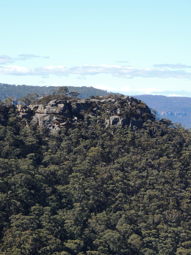
At Hassans Walls, Lithgow is described in the Lithgow Mercury, 14th May 1915, p. 4 as “a bold high promontory jutting out into the Hartley Valley.” Hartley Topo Map, GR 369 887.Finnigans Creek* GR 363 879 to 370 848 is a partly perennial creek that flows south into River Lett, 1.5km north east of Hartley and that was recorded in the Singleton Argus, 30th January 1926, p. 5. Finnigans Point can be viewed from the boardwalk at Padleys Pedestal Trig. Named after the Finigan family (note correct spelling) who lived in Hartley between the years 1840s to 1870s.
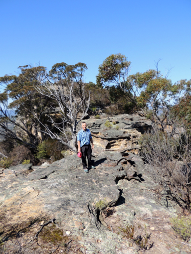
Extends from Hartley Trig, off Hassans Walls Road in a generally southerly direction for 700m to Finnigans Point. The last 100m contains a dissected rocky outcrop. So named by Brian Fox and Keith Painter on the 6th September 2016 while investigating historical features in this area of Hassans Walls.
Is a rocky ridge and cluster of incredible formations, stylised sculptures of birds as well as mythological creatures. Located on the western most pagoda above and on the eastern side of Baal Bone Gap, and 800m west, south west of Mount McLean. Named by Michael Keats on a Bush Club walk, 29th July 2013, as it reminded him of the fiery, phantasmagorical sounds and imagery of Russian composer Igor Stravinsky's Firebird Suite.
Extends from Girdwood Ridge at the barrier between Newnes State Forest and Blue Mountains National Park in a generally north east direction for about 6km. Name coined by Wilf Hilder in 1972 to reflect the historical usage of the Wolgan Valley Railway.
Refers to the cliff line on the south western side of Sunnyside Ridge Road. This cliff line was named by Joe Friend and climbed from early 1972. Ref: Taylor, Pete. A Rockclimbers Guide to the Wolgan Valley, 1st ed; 1974, p. 13.
This canyon was found by David Noble and Tom Williams in 1977 on a Springwood Bushwalking trip, they had noticed fireflies when they camped above the canyon. This canyon contains four or five short abseils. Reference: Jamieson, Rick. Canyons near Sydney, 1993, p. 40.
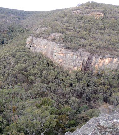
Firefly Creek has its headwaters on the western side of Island Mountain, 2.8km south east of Newnes. It flows in a generally north east direction for 2.9km to its junction with the Wolgan River. Within Firefly Creek is the canyon known as Firefly Canyon. This canyon was found by David Noble and Tom Williams in 1977 on a Springwood Bushwalking trip; they had noticed fireflies when they camped above the canyon. This canyon contains four or five short abseils. Reference: Jamieson, Rick. Canyons near Sydney, 1993, p. 40.
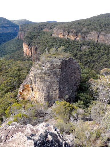
Firefly Point overlooks the Wolgan River and Firefly Creek and Canyon which is 300m below. This point of land is on a the eastern end of a small plateau which has on the north side the cliff line known as the Exploding Galaxies above the Wolgan River. The southern side of the plateau is Firefly Creek and Firefly Canyon. Extensive views of the Wolgan Valley below. Named by Yuri Bolotin on a Bush Club walk 1st July 2016.
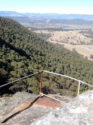
Is located at Hassans Walls, Lithgow above the eastern side of Rutherford Glen. So named as it was the first lookout when coming via the original track from Lithgow. Old graffiti engraved below this lookout records the name, H Watkins 1936. Ref: Lithgow Mercury, 25th March 1912, p. 2.